


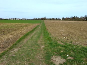
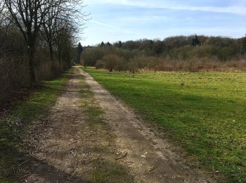
6.6 km | 7.3 km-effort
Mönchengladbach: Discover the best trails: 9 hiking trails. All these trails, routes and outdoor activities are available in our SityTrail applications for smartphones and tablets.
On foot


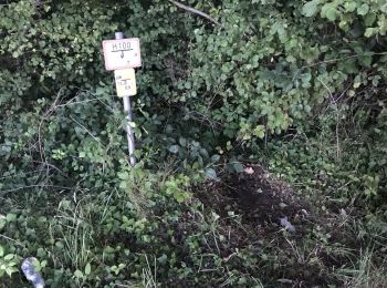
• Trail created by Naturpark Schwalm-Nette. Symbol: Weißer Text A3 auf schwarzem Grund
On foot
• Trail created by Naturpark Schwalm-Nette. Symbol: Weißer Text A2 auf schwarzem Grund
On foot
• Trail created by Naturpark Schwalm-Nette. Symbol: Weißer Text A1 auf schwarzem Grund
On foot
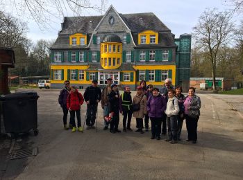
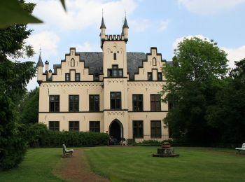
• Trail created by Verein Niederrhein.
On foot
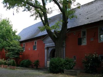
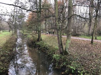
• Trail created by Verein Niederrhein.
On foot
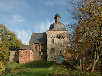
• Trail created by Verein Niederrhein e.V., Ortsgruppe Mönchengladbach. Symbol: R
On foot
On foot
• Trail created by Verein Niederrhein.
On foot

Other activity
10 trails displayed on 10
FREE GPS app for hiking
 SityTrail
IGN / Geographical institutes
SityTrail World
The world is yours!