Eslohe, Hochsauerlandkreis: Best trails, routes and walks

Eslohe: Discover the best trails: 31 hiking trails and 1 bike and mountain-bike routes. All these trails, routes and outdoor activities are available in our SityTrail applications for smartphones and tablets.


The best trails (32)
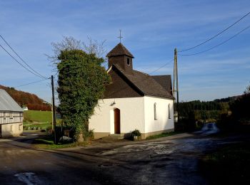
Trail On foot Eslohe - Cobbenrode Rundweg C3 - Photo
On foot 13.735
Km
GUIDE+

On foot

Easy
Eslohe, North Rhine-Westphalia, Hochsauerlandkreis, Germany
13.7 km | 19 km-effort
4h 19min
397 m
393 m
Yes
SityTrail - itinéraires balisés pédestres

• Trail created by Sauerländischer Gebirgsverein.
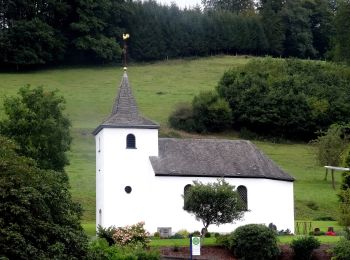
Trail On foot Eslohe - Reiste Rundwanderweg Re3 - Photo
On foot 10.692
Km
GUIDE+

On foot

Easy
Eslohe, North Rhine-Westphalia, Hochsauerlandkreis, Germany
10.7 km | 14.6 km-effort
3h 19min
292 m
295 m
Yes
SityTrail - itinéraires balisés pédestres

• Trail created by Sauerländischer Gebirgsverein.

Trail On foot Eslohe - Wenholthausen Wanderweg W7 - Photo
On foot 7.556
Km
GUIDE+

On foot

Easy
Eslohe, North Rhine-Westphalia, Hochsauerlandkreis, Germany
7.6 km | 10.3 km-effort
2h 20min
206 m
207 m
Yes
SityTrail - itinéraires balisés pédestres

• Trail created by Sauerländischer gebirgsverein.
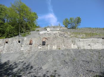
Trail On foot Eslohe - Wenholthausen Rundweg W1 - Photo
On foot 10.837
Km
GUIDE+

On foot

Easy
Eslohe, North Rhine-Westphalia, Hochsauerlandkreis, Germany
10.8 km | 15.3 km-effort
3h 28min
327 m
355 m
No
SityTrail - itinéraires balisés pédestres

• Trail created by Sauerländischer Gebirgsverein.
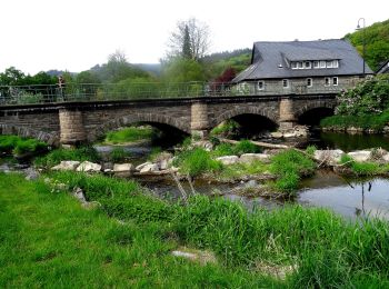
Trail On foot Eslohe - Wenholthausen Rundweg W5 - Photo
On foot 8.965
Km
GUIDE+

On foot

Easy
Eslohe, North Rhine-Westphalia, Hochsauerlandkreis, Germany
9 km | 13.3 km-effort
3h 1min
347 m
259 m
No
SityTrail - itinéraires balisés pédestres

• Trail created by Sauerländischer Gebirgsverein.
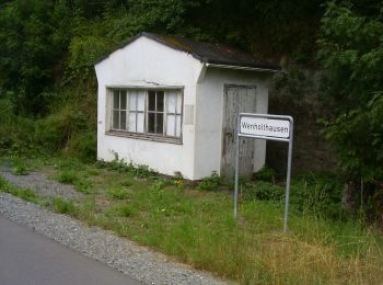
Trail On foot Eslohe - Wenholthausen Rundweg W2 - Photo
On foot 9.335
Km
GUIDE+

On foot

Easy
Eslohe, North Rhine-Westphalia, Hochsauerlandkreis, Germany
9.3 km | 12.4 km-effort
2h 49min
232 m
222 m
No
SityTrail - itinéraires balisés pédestres

• Trail created by Sauerländischer Gebirgsverein.
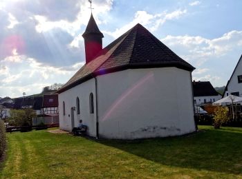
Trail On foot Eslohe - Berge Rundweg B7 - Photo
On foot 7.161
Km
GUIDE+

On foot

Easy
Eslohe, North Rhine-Westphalia, Hochsauerlandkreis, Germany
7.2 km | 9.6 km-effort
2h 10min
156 m
250 m
No
SityTrail - itinéraires balisés pédestres

• Trail created by Sauerländischer Gebirgsverein.

Trail On foot Eslohe - Beerenberg Rundweg A2 - Photo
On foot 4.071
Km
GUIDE+

On foot

Easy
Eslohe, North Rhine-Westphalia, Hochsauerlandkreis, Germany
4.1 km | 5.6 km-effort
1h 16min
116 m
118 m
Yes
SityTrail - itinéraires balisés pédestres

• Trail created by Sauerländischer Gebirgsverein.

Trail On foot Eslohe - Golddorf-Route Wenholthausen - Photo
On foot 4.626
Km
GUIDE+

On foot

Easy
Eslohe, North Rhine-Westphalia, Hochsauerlandkreis, Germany
4.6 km | 7 km-effort
1h 35min
209 m
92 m
No
SityTrail - itinéraires balisés pédestres

• Trail created by Sauerländischer Gebirgsverein.
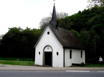
Trail On foot Eslohe - Dorlar Rundweg D15 - Photo
On foot 4.863
Km
GUIDE+

On foot

Easy
Eslohe, North Rhine-Westphalia, Hochsauerlandkreis, Germany
4.9 km | 6.8 km-effort
1h 32min
148 m
123 m
No
SityTrail - itinéraires balisés pédestres

• Trail created by Sauerländischer Gebirgsverein.
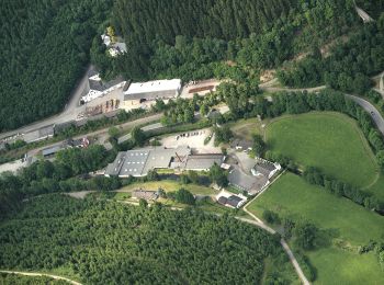
Trail On foot Eslohe - Eslohe Rundweg E5 - Photo
On foot 4.928
Km
GUIDE+

On foot

Easy
Eslohe, North Rhine-Westphalia, Hochsauerlandkreis, Germany
4.9 km | 7.2 km-effort
1h 38min
212 m
46 m
No
SityTrail - itinéraires balisés pédestres

• Trail created by Sauerländischer Gebirgsverein.

Trail On foot Eslohe - Eslohe Rundweg E4 - Photo
On foot 8.19
Km
GUIDE+

On foot

Easy
Eslohe, North Rhine-Westphalia, Hochsauerlandkreis, Germany
8.2 km | 12 km-effort
2h 43min
299 m
236 m
No
SityTrail - itinéraires balisés pédestres

• Trail created by Sauerländischer Gebirgsverein.

Trail On foot Eslohe - Esloher Rundweg - Photo
On foot 7.7
Km
GUIDE+

On foot

Easy
Eslohe, North Rhine-Westphalia, Hochsauerlandkreis, Germany
7.7 km | 10 km-effort
2h 16min
179 m
161 m
No
SityTrail - itinéraires balisés pédestres

• Trail created by Sauerländischer Gebirgsverein (SGV).

Trail On foot Eslohe - Kapellenweg Reiste - Photo
On foot 5.15
Km
GUIDE+

On foot

Easy
Eslohe, North Rhine-Westphalia, Hochsauerlandkreis, Germany
5.2 km | 7.2 km-effort
1h 37min
164 m
109 m
No
SityTrail - itinéraires balisés pédestres

• Trail created by Sauerländischer Gebirgsverein.

Trail On foot Eslohe - Franziskusweg - Photo
On foot 8.13
Km
GUIDE+

On foot

Easy
Eslohe, North Rhine-Westphalia, Hochsauerlandkreis, Germany
8.1 km | 11.7 km-effort
2h 39min
269 m
273 m
Yes
SityTrail - itinéraires balisés pédestres

• Trail created by Sauerländischer Gebirgsverein.
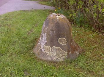
Trail On foot Eslohe - Cobbenrode Rundweg C7 - Photo
On foot 4.123
Km
GUIDE+

On foot

Easy
Eslohe, North Rhine-Westphalia, Hochsauerlandkreis, Germany
4.1 km | 5.9 km-effort
1h 20min
154 m
66 m
No
SityTrail - itinéraires balisés pédestres

• Trail created by Sauerländischer Gebirgsverein.

Trail On foot Eslohe - Kückelheim Rundweg K2 - Photo
On foot 9.134
Km
GUIDE+

On foot

Easy
Eslohe, North Rhine-Westphalia, Hochsauerlandkreis, Germany
9.1 km | 12.9 km-effort
2h 55min
282 m
275 m
Yes
SityTrail - itinéraires balisés pédestres

• Trail created by Sauerländischer Gebirgsverein.

Trail On foot Eslohe - Kückelheim Rundweg K3 - Photo
On foot 3.799
Km
GUIDE+

On foot

Easy
Eslohe, North Rhine-Westphalia, Hochsauerlandkreis, Germany
3.8 km | 4.8 km-effort
1h 5min
72 m
75 m
Yes
SityTrail - itinéraires balisés pédestres

• Trail created by Sauerländischer Gebirgsverein.
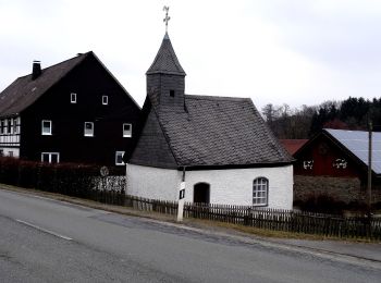
Trail On foot Eslohe - Reiste Rundwanderweg Re1 - Photo
On foot 6.654
Km
GUIDE+

On foot

Easy
Eslohe, North Rhine-Westphalia, Hochsauerlandkreis, Germany
6.7 km | 8.4 km-effort
1h 54min
108 m
195 m
No
SityTrail - itinéraires balisés pédestres

• Trail created by Sauerländischer Gebirgsverein.

Trail On foot Eslohe - Wenholthausen Rundweg W6 - Photo
On foot 3.14
Km
GUIDE+

On foot

Easy
Eslohe, North Rhine-Westphalia, Hochsauerlandkreis, Germany
3.1 km | 4.9 km-effort
1h 7min
142 m
111 m
No
SityTrail - itinéraires balisés pédestres

• Trail created by Sauerländischer Gebirgsverein.

20 trails displayed on 32

FREE GPS app for hiking

Logo SityTrail SityTrail

IGN / Geographical institutes

Download SityTrail from the App Store Download SityTrail from Google Play

Logo SityTrail SityTrail World

The world is yours!

Download SityTrail from the App Store Download SityTrail from Google Play Download SityTrail on Huawei AppGallery

Activities

Close
My subscriptions