


22 km | 25 km-effort
Rendsburg-Eckernförde: Discover the best trails: 60 hiking trails. All these trails, routes and outdoor activities are available in our SityTrail applications for smartphones and tablets.

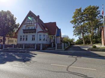
On foot


• Trail created by Wandergruppe Eckernförde.
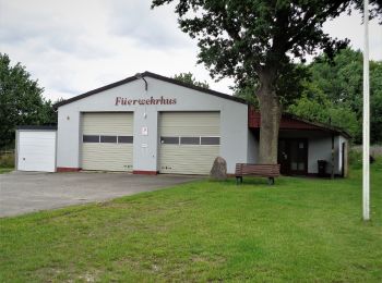
On foot
• Trail created by Wandergruppe Eckernförde.

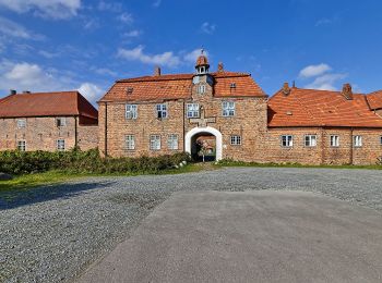
On foot
• Trail created by Wandergruppe Eckernförde.
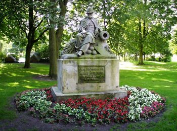
On foot
• Trail created by Wandergruppe Eckernförde.
On foot
• Trail created by Tourist-Information Eckernförde.
On foot
• Trail created by Wandergruppe Eckernförde.
On foot
• Trail created by Wandergruppe Eckernförde.
On foot
• Trail created by Wandergruppe Eckernförde.
On foot
• Trail created by BSW Wandergruppe Neumünster.
On foot
• Trail created by Naturpark Hüttener Berge.
On foot
• Trail created by Naturpark Hüttener Berge.

On foot
• Trail created by Gemeinde Fockbek.
On foot
• Trail created by Gemeinde Fockbek.

On foot
• Trail created by Naturpark Hüttener Berge.
On foot
• Trail created by Naturpark Hüttener Berge.
On foot
• Trail created by Gemeinde Fockbek.
On foot
• Trail created by Naturpark Hüttener Berge.
On foot
• Trail created by Naturpark Hüttener Berge.
On foot
• Trail created by Naturpark Hüttener Berge.

On foot
• Trail created by Brekendorfer Forst & Naturpark Hüttener Berge.
20 trails displayed on 60
FREE GPS app for hiking
 SityTrail
IGN / Geographical institutes
SityTrail World
The world is yours!