


6 km | 8.6 km-effort
Rottenburg am Neckar: Discover the best trails: 7 hiking trails. All these trails, routes and outdoor activities are available in our SityTrail applications for smartphones and tablets.
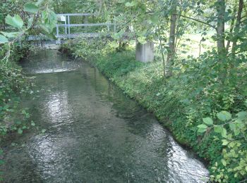
On foot


• Trail created by Stadt Rottenburg. Symbol: roter Apfel
On foot
• Trail created by Stadt Rottenburg. Symbol: roterr Apfel
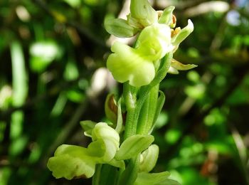
On foot
• Trail created by Schwäbischer Alb Verein. Symbol: blue cross on white background
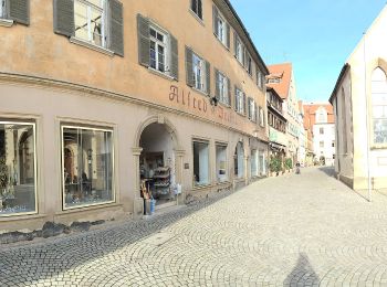
On foot
• Trail created by Schwäbischer Alb Verein. Symbol: red cross on white background
On foot
• Trail created by Schwäbischer Alb Verein. Symbol: blue cross on white background
On foot
• Trail created by Schwäbischer Alb Verein. Symbol: red cross on white background
On foot
• Trail created by Schwäbischer Alb Verein. Symbol: Blauer Balken auf weißem Grund
7 trails displayed on 7
FREE GPS app for hiking
 SityTrail
IGN / Geographical institutes
SityTrail World
The world is yours!