![](/images/other/stat-length.png)
Uehlfeld, Landkreis Neustadt an der Aisch-Bad Windsheim: Best trails, routes and walks
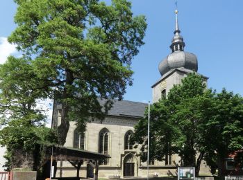
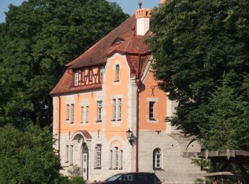
Uehlfeld: Discover the best trails: 4 hiking trails. All these trails, routes and outdoor activities are available in our SityTrail applications for smartphones and tablets.
The best trails (4)
![Trail On foot Uehlfeld - YoungGO Fitness-Parcours - Photo](https://media.geolcdn.com/t/350/260/fcad0d6d-04c1-42fd-a93c-c95a873b2853.jpeg&format=jpg&maxdim=2)
![On foot On foot](https://static1.geolcdn.com/sitytour/trail-icons/100.png)
Km
On foot
![](/images/other/stat-length.png)
![](https://static1.geolcdn.com/siteimages/upload/files/1508320355ic_sort_den_pos_24dp.png)
![](https://static1.geolcdn.com/siteimages/upload/files/1508320355ic_sort_den_neg_24dp.png)
![](https://static1.geolcdn.com/siteimages/upload/files/16400158638029165_repeat_loop_refresh_sync_direction_icon.png)
• Trail created by Gemeinde Uehlfeld.
![Trail On foot Uehlfeld - Kräuter-Rundweg Uehlfeld - Photo](https://media.geolcdn.com/t/350/260/48250117-8b40-484c-8b89-1f6ec968c33d.jpeg&format=jpg&maxdim=2)
![On foot On foot](https://static1.geolcdn.com/sitytour/trail-icons/100.png)
Km
On foot
![](/images/other/stat-length.png)
![](https://static1.geolcdn.com/siteimages/upload/files/1508320355ic_sort_den_pos_24dp.png)
![](https://static1.geolcdn.com/siteimages/upload/files/1508320355ic_sort_den_neg_24dp.png)
![](https://static1.geolcdn.com/siteimages/upload/files/16400158638029165_repeat_loop_refresh_sync_direction_icon.png)
• Trail created by Gemeinde Uehlfeld. teilweise unzureichende Markierung Symbol: Rote Blüte auf weißem Hintergrund
![Trail On foot Uehlfeld - Karpfen-Rundweg Uehlfeld - Photo](https://media.geolcdn.com/t/350/260/6e73a48e-e790-4f50-8c65-571f1003efc9.jpeg&format=jpg&maxdim=2)
![On foot On foot](https://static1.geolcdn.com/sitytour/trail-icons/100.png)
Km
On foot
![](/images/other/stat-length.png)
![](https://static1.geolcdn.com/siteimages/upload/files/1508320355ic_sort_den_pos_24dp.png)
![](https://static1.geolcdn.com/siteimages/upload/files/1508320355ic_sort_den_neg_24dp.png)
![](https://static1.geolcdn.com/siteimages/upload/files/16400158638029165_repeat_loop_refresh_sync_direction_icon.png)
• Trail created by Gemeinde Uehlfeld. teilweise unzureichende Markierung Symbol: Grüner Karpfen auf weißem Hintergrund
![Trail On foot Uehlfeld - Storchen-Lehrpfad Uehlfeld - Photo](https://media.geolcdn.com/t/350/260/6e73a48e-e790-4f50-8c65-571f1003efc9.jpeg&format=jpg&maxdim=2)
![On foot On foot](https://static1.geolcdn.com/sitytour/trail-icons/100.png)
Km
On foot
![](/images/other/stat-length.png)
![](https://static1.geolcdn.com/siteimages/upload/files/1508320355ic_sort_den_pos_24dp.png)
![](https://static1.geolcdn.com/siteimages/upload/files/1508320355ic_sort_den_neg_24dp.png)
![](https://static1.geolcdn.com/siteimages/upload/files/16400158638029165_repeat_loop_refresh_sync_direction_icon.png)
• Trail created by Gemeinde Uehlfeld. Symbol: Storch mit stilisiertem Wasserlauf und Schriftzug Uehlfeld
4 trails displayed on 4
FREE GPS app for hiking