Redwitz a.d.Rodach, Landkreis Lichtenfels: Best trails, routes and walks

Redwitz a.d.Rodach: Discover the best trails: 6 hiking trails. All these trails, routes and outdoor activities are available in our SityTrail applications for smartphones and tablets.


The best trails (6)
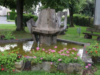
Trail On foot Redwitz a.d.Rodach - Trainauer Weg - Photo
On foot 5.814
Km
GUIDE+

On foot

Easy
Redwitz a.d.Rodach, Bavaria, Landkreis Lichtenfels, Germany
5.8 km | 7.3 km-effort
1h 39min
111 m
111 m
No
SityTrail - itinéraires balisés pédestres

• Trail created by Landkreis Lichtenfels. Symbol: Blaues Andreaskreuz auf weißem Hintergrund
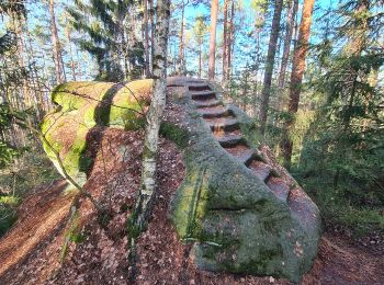
Trail On foot Redwitz a.d.Rodach - Redwitzer Runde - Photo
On foot 7.21
Km
GUIDE+

On foot

Easy
Redwitz a.d.Rodach, Bavaria, Landkreis Lichtenfels, Germany
7.2 km | 9.2 km-effort
2h 5min
150 m
150 m
Yes
SityTrail - itinéraires balisés pédestres

• Trail created by Landkreis Lichtenfels. Symbol: Weiße 1 auf grünem Hintergrund zwischen zwei Punkten

Trail On foot Redwitz a.d.Rodach - Redwitzer Kleeblattrunde - Photo
On foot 10.69
Km
GUIDE+

On foot

Easy
Redwitz a.d.Rodach, Bavaria, Landkreis Lichtenfels, Germany
10.7 km | 14 km-effort
3h 11min
250 m
249 m
Yes
SityTrail - itinéraires balisés pédestres

• Trail created by Landkreis Lichtenfels. Teilweise alte Markierungen "Kleeblattweg" Symbol: Grünes Kleeblatt auf wei...
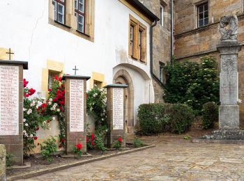
Trail On foot Redwitz a.d.Rodach - Redwitzer Biotoprunde - Photo
On foot 6.493
Km
GUIDE+

On foot

Easy
Redwitz a.d.Rodach, Bavaria, Landkreis Lichtenfels, Germany
6.5 km | 6.9 km-effort
1h 34min
34 m
34 m
Yes
SityTrail - itinéraires balisés pédestres

• Trail created by Landkreis Lichtenfels. Symbol: Grünes B auf weißem Hintergrund

Trail On foot Redwitz a.d.Rodach - Frutschbrunnen Runde - Photo
On foot 8.072
Km
GUIDE+

On foot

Easy
Redwitz a.d.Rodach, Bavaria, Landkreis Lichtenfels, Germany
8.1 km | 10.5 km-effort
2h 23min
185 m
185 m
Yes
SityTrail - itinéraires balisés pédestres

• Trail created by Landkreis Lichtenfels. Teilweise alte Markierungen "Grüne 2 auf weißem Hintergrund" Symbol: Weiße ...
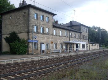
Trail On foot Redwitz a.d.Rodach - Hochstadter Rundweg - Photo
On foot 14.016
Km
GUIDE+

On foot

Easy
Redwitz a.d.Rodach, Bavaria, Landkreis Lichtenfels, Germany
14 km | 16.6 km-effort
3h 46min
195 m
194 m
Yes
SityTrail - itinéraires balisés pédestres

• Trail created by Landkreis Lichtenfels. Symbol: Grüner Kreis auf weißem Hintergrund

6 trails displayed on 6

FREE GPS app for hiking

Logo SityTrail SityTrail

IGN / Geographical institutes

Download SityTrail from the App Store Download SityTrail from Google Play

Logo SityTrail SityTrail World

The world is yours!

Download SityTrail from the App Store Download SityTrail from Google Play Download SityTrail on Huawei AppGallery

Activities

Close
My subscriptions