Mauther Forst, Landkreis Freyung-Grafenau: Best trails, routes and walks

Mauther Forst: Discover the best trails: 2 hiking trails. All these trails, routes and outdoor activities are available in our SityTrail applications for smartphones and tablets.


The best trails (2)

Trail On foot Mauther Forst - Birkhuhn - Photo
On foot 3.513
Km
PRO

On foot

Easy
Mauther Forst, Bavaria, Landkreis Freyung-Grafenau, Germany
3.5 km | 4.5 km-effort
1h 1min
75 m
67 m
Yes
SityTrail - itinéraires balisés pédestres

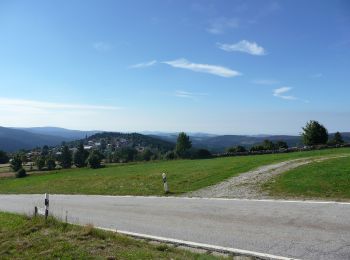
• Trail created by Nationalpark Bayerischer Wald. FIXME: Bitte hilf mit, fehlende Wegsegmente zu erfassen. Was für ein...

Trail On foot Mauther Forst - Sperlingskauz - Photo
On foot 4.343
Km
PRO

On foot

Easy
Mauther Forst, Bavaria, Landkreis Freyung-Grafenau, Germany
4.3 km | 6.5 km-effort
1h 29min
169 m
155 m
Yes
SityTrail - itinéraires balisés pédestres

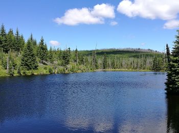
• Trail created by Nationalpark Bayerischer Wald. Symbol: Tiersymbol (Sperlingskauz) in schwarz auf gelbem quadratisch...

2 trails displayed on 2

FREE GPS app for hiking

Logo SityTrail SityTrail

IGN / Geographical institutes

Download SityTrail from the App Store Download SityTrail from Google Play

Logo SityTrail SityTrail World

The world is yours!

Download SityTrail from the App Store Download SityTrail from Google Play Download SityTrail on Huawei AppGallery

Activities

Close
My subscriptions