![](/images/other/stat-length.png)
- Trails
- Outdoor
- Germany
- Bavaria
- Weißenburg-Gunzenhausen
- Pleinfeld
Pleinfeld, Weißenburg-Gunzenhausen: Best trails, routes and walks
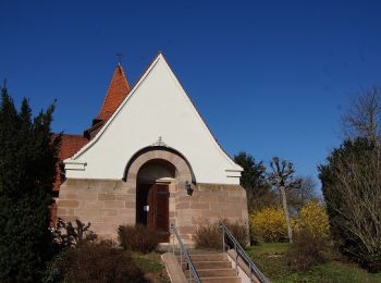
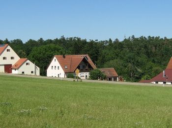
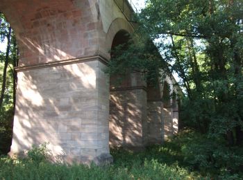
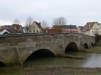
Pleinfeld: Discover the best trails: 11 hiking trails. All these trails, routes and outdoor activities are available in our SityTrail applications for smartphones and tablets.
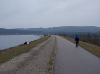
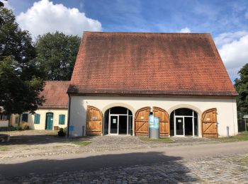
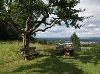
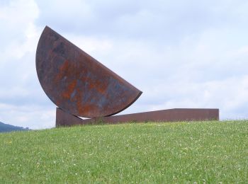
The best trails (11)
![Trail On foot Pleinfeld - Erlebnispfad Weg der Wasserkraft - Photo](https://media.geolcdn.com/t/350/260/34711983-e338-477a-a2c6-1ab41d1d58bb.jpeg&format=jpg&maxdim=2)
![On foot On foot](https://static1.geolcdn.com/sitytour/trail-icons/100.png)
Km
On foot
![](/images/other/stat-length.png)
![](https://static1.geolcdn.com/siteimages/upload/files/1508320355ic_sort_den_pos_24dp.png)
![](https://static1.geolcdn.com/siteimages/upload/files/1508320355ic_sort_den_neg_24dp.png)
![](https://static1.geolcdn.com/siteimages/upload/files/16400158638029165_repeat_loop_refresh_sync_direction_icon.png)
• Symbol: Weißer Kreis mit zwei verschobenen blauen Halbkreisen auf blauem Grund
![Trail On foot Pleinfeld - Sandbockel Weg - Photo](https://media.geolcdn.com/t/350/260/67563d3f-611d-4ca1-a073-19ef8f4726a6.jpeg&format=jpg&maxdim=2)
![On foot On foot](https://static1.geolcdn.com/sitytour/trail-icons/100.png)
Km
On foot
![](/images/other/stat-length.png)
![](https://static1.geolcdn.com/siteimages/upload/files/1508320355ic_sort_den_pos_24dp.png)
![](https://static1.geolcdn.com/siteimages/upload/files/1508320355ic_sort_den_neg_24dp.png)
![](https://static1.geolcdn.com/siteimages/upload/files/16400158638029165_repeat_loop_refresh_sync_direction_icon.png)
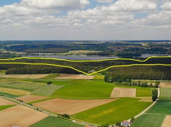
• Trail created by Markt Pleinfeld. Symbol: ?
![Trail On foot Pleinfeld - Pleinfeld 78 - Photo](https://media.geolcdn.com/t/350/260/4da960c2-e2ea-4e3b-8c35-cbbede282720.jpeg&format=jpg&maxdim=2)
![On foot On foot](https://static1.geolcdn.com/sitytour/trail-icons/100.png)
Km
On foot
![](/images/other/stat-length.png)
![](https://static1.geolcdn.com/siteimages/upload/files/1508320355ic_sort_den_pos_24dp.png)
![](https://static1.geolcdn.com/siteimages/upload/files/1508320355ic_sort_den_neg_24dp.png)
![](https://static1.geolcdn.com/siteimages/upload/files/16400158638029165_repeat_loop_refresh_sync_direction_icon.png)
• Trail created by Markt Pleinfeld. abeschossen (Feb. 2014, by cycling_zno) Symbol: Blaue Tafel mit weißer 78
![Trail On foot Pleinfeld - Pleinfeld 84 - Photo](https://media.geolcdn.com/t/350/260/583c63ac-9829-4193-bc4e-750342164f1d.jpeg&format=jpg&maxdim=2)
![On foot On foot](https://static1.geolcdn.com/sitytour/trail-icons/100.png)
Km
On foot
![](/images/other/stat-length.png)
![](https://static1.geolcdn.com/siteimages/upload/files/1508320355ic_sort_den_pos_24dp.png)
![](https://static1.geolcdn.com/siteimages/upload/files/1508320355ic_sort_den_neg_24dp.png)
![](https://static1.geolcdn.com/siteimages/upload/files/16400158638029165_repeat_loop_refresh_sync_direction_icon.png)
• Trail created by Markt Pleinfeld. abeschossen (Feb. 2014, by cycling_zno) Symbol: Blaue Tafel mit weißer 84
![Trail On foot Pleinfeld - Pleinfeld 76 - Photo](https://media.geolcdn.com/t/350/260/6cab0933-d258-421d-87a3-c2e49ad9a359.jpeg&format=jpg&maxdim=2)
![On foot On foot](https://static1.geolcdn.com/sitytour/trail-icons/100.png)
Km
On foot
![](/images/other/stat-length.png)
![](https://static1.geolcdn.com/siteimages/upload/files/1508320355ic_sort_den_pos_24dp.png)
![](https://static1.geolcdn.com/siteimages/upload/files/1508320355ic_sort_den_neg_24dp.png)
![](https://static1.geolcdn.com/siteimages/upload/files/16400158638029165_repeat_loop_refresh_sync_direction_icon.png)
• Trail created by Markt Pleinfeld. abeschossen (Feb. 2014, by cycling_zno) Symbol: Blaue Tafel mit weißer 76
![Trail On foot Pleinfeld - Pleinfeld 82 - Photo](https://media.geolcdn.com/t/350/260/34711983-e338-477a-a2c6-1ab41d1d58bb.jpeg&format=jpg&maxdim=2)
![On foot On foot](https://static1.geolcdn.com/sitytour/trail-icons/100.png)
Km
On foot
![](/images/other/stat-length.png)
![](https://static1.geolcdn.com/siteimages/upload/files/1508320355ic_sort_den_pos_24dp.png)
![](https://static1.geolcdn.com/siteimages/upload/files/1508320355ic_sort_den_neg_24dp.png)
![](https://static1.geolcdn.com/siteimages/upload/files/16400158638029165_repeat_loop_refresh_sync_direction_icon.png)
• Trail created by Markt Pleinfeld. abeschossen (Feb. 2014, by cycling_zno) Symbol: Blaue Tafel mit weißer 82
![Trail On foot Pleinfeld - Pleinfeld 81 - Photo](https://media.geolcdn.com/t/350/260/34711983-e338-477a-a2c6-1ab41d1d58bb.jpeg&format=jpg&maxdim=2)
![On foot On foot](https://static1.geolcdn.com/sitytour/trail-icons/100.png)
Km
On foot
![](/images/other/stat-length.png)
![](https://static1.geolcdn.com/siteimages/upload/files/1508320355ic_sort_den_pos_24dp.png)
![](https://static1.geolcdn.com/siteimages/upload/files/1508320355ic_sort_den_neg_24dp.png)
![](https://static1.geolcdn.com/siteimages/upload/files/16400158638029165_repeat_loop_refresh_sync_direction_icon.png)
• Trail created by Markt Pleinfeld. abeschossen (Feb. 2014, by cycling_zno) Symbol: Blaue Tafel mit weißer 81
![Trail On foot Pleinfeld - Pleinfeld 83 - Photo](https://media.geolcdn.com/t/350/260/1b9fa054-4a53-4ee2-977d-89892c264624.jpeg&format=jpg&maxdim=2)
![On foot On foot](https://static1.geolcdn.com/sitytour/trail-icons/100.png)
Km
On foot
![](/images/other/stat-length.png)
![](https://static1.geolcdn.com/siteimages/upload/files/1508320355ic_sort_den_pos_24dp.png)
![](https://static1.geolcdn.com/siteimages/upload/files/1508320355ic_sort_den_neg_24dp.png)
![](https://static1.geolcdn.com/siteimages/upload/files/16400158638029165_repeat_loop_refresh_sync_direction_icon.png)
• Trail created by Markt Pleinfeld. abeschossen (Feb. 2014, by cycling_zno) Symbol: Blaue Tafel mit weißer 83
![Trail On foot Pleinfeld - Pleinfeld 79 - Photo](https://media.geolcdn.com/t/350/260/c20acda3-1abe-40f0-b3fc-2ebf1940cc4e.jpeg&format=jpg&maxdim=2)
![On foot On foot](https://static1.geolcdn.com/sitytour/trail-icons/100.png)
Km
On foot
![](/images/other/stat-length.png)
![](https://static1.geolcdn.com/siteimages/upload/files/1508320355ic_sort_den_pos_24dp.png)
![](https://static1.geolcdn.com/siteimages/upload/files/1508320355ic_sort_den_neg_24dp.png)
![](https://static1.geolcdn.com/siteimages/upload/files/16400158638029165_repeat_loop_refresh_sync_direction_icon.png)
• Trail created by Markt Pleinfeld. abeschossen (Feb. 2014, by cycling_zno) Symbol: Blaue Tafel mit weißer 79
![Trail On foot Pleinfeld - Pleinfeld 77 - Photo](https://media.geolcdn.com/t/350/260/17b04d59-dc12-422c-9d44-d6a6485d25ca.jpeg&format=jpg&maxdim=2)
![On foot On foot](https://static1.geolcdn.com/sitytour/trail-icons/100.png)
Km
On foot
![](/images/other/stat-length.png)
![](https://static1.geolcdn.com/siteimages/upload/files/1508320355ic_sort_den_pos_24dp.png)
![](https://static1.geolcdn.com/siteimages/upload/files/1508320355ic_sort_den_neg_24dp.png)
![](https://static1.geolcdn.com/siteimages/upload/files/16400158638029165_repeat_loop_refresh_sync_direction_icon.png)
• Trail created by Markt Pleinfeld. abeschossen (Feb. 2014, by cycling_zno) Symbol: Blaue Tafel mit weißer 77
![Trail On foot Pleinfeld - Fränkisches Seenland 135 - Photo](https://media.geolcdn.com/t/350/260/e9fb1ad0-8ad4-4d2c-8e88-677e510b7602.jpeg&format=jpg&maxdim=2)
![On foot On foot](https://static1.geolcdn.com/sitytour/trail-icons/100.png)
Km
On foot
![](/images/other/stat-length.png)
![](https://static1.geolcdn.com/siteimages/upload/files/1508320355ic_sort_den_pos_24dp.png)
![](https://static1.geolcdn.com/siteimages/upload/files/1508320355ic_sort_den_neg_24dp.png)
![](https://static1.geolcdn.com/siteimages/upload/files/16400158638029165_repeat_loop_refresh_sync_direction_icon.png)
• Trail created by Fränkisches Seenland. abgeschlossen (Februar 2014, by cycling_zno) Symbol: Blaue Tafel mit weißer ...
11 trails displayed on 11
FREE GPS app for hiking