
Landkreis Schweinfurt, Bavaria: Best trails, routes and walks
Landkreis Schweinfurt: Discover the best trails: 40 hiking trails. All these trails, routes and outdoor activities are available in our SityTrail applications for smartphones and tablets.
The best trails (40)
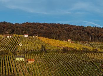
Km
On foot


• Trail created by Gemeinde Gerolzhofen. Symbol: Grüne Hütte auf weißem Hindergrund
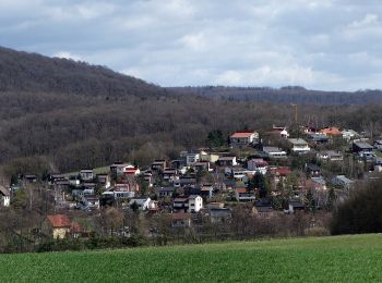
Km
On foot


• Trail created by Gemeinde Michelau i.Steigerwald. Symbol: Schwarze M6 auf gelbem Hintergrund
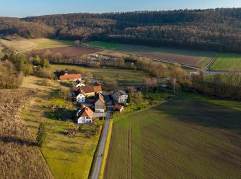
Km
On foot


• Trail created by Gemeinde Oberschwarzach. Symbol: Schwarze O 1 auf gelbem Hintergrund

Km
On foot


• Symbol: Stilisierte Burgruine auf hellblauem Grund

Km
On foot


• Trail created by Gemeinde Oberschwarzach. Teilweise auch Markierung "Schwarze O2 auf gelbem Hintergrund" Symbol: Gr...
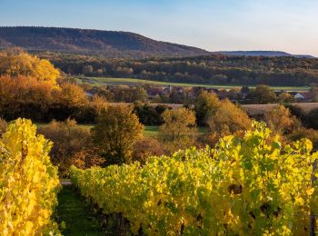
Km
On foot


• Trail created by Gemeinde Oberschwarzach. Symbol: Schwarze O 5 auf gelbem Hintergrund
Km
On foot


• Symbol: Stilisierte pyramidenförmige Kirche auf hellblauem Grund

Km
On foot


• Trail created by Gemeinde Oberschwarzach. Symbol: Schwarze O 4 auf gelbem Hintergrund
Km
On foot


• Symbol: letter 'M' in a circle with an arrowhead at NW position

Km
On foot


• Symbol: light brown shoe on dark brown dot
Km
On foot


• Symbol: Weiße, laublose Weide auf blau/grünem Hintergrund
Km
On foot


• Symbol: green dot on white ground
Km
On foot


• Symbol: Black silhouette of an hedgehog on green background

Km
On foot


• Symbol: Red circle on white background

Km
On foot


• Symbol: Black silhouette of an jackrabbit on orange background

Km
On foot


• Trail created by Gemeinde Michelau i.Steigerwald. Symbol: Schwarze M1 auf gelbem Hintergrund

Km
On foot


• Trail created by Naturfreunde Ortsgruppe Schweinfurt. Symbol: Blaues "N" in schwarzem Kreis auf weißem Hintergrund
Km
On foot


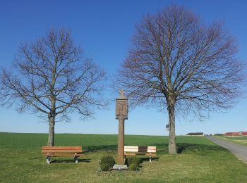
• Der Wegverlauf ist identisch mit dem "Lindacher Kreuzpfad"
Km
On foot


• Trail created by VGL Schonungen. Symbol: Ein grüner, blauer und gelber Apfel auf weißem Grund.

Km
On foot


• Trail created by DAV Sektion Schweinfurt. Symbol: AV Grün auf Weiß
20 trails displayed on 40
FREE GPS app for hiking


 SityTrail


