![](/images/other/stat-length.png)
Landkreis Coburg, Bavaria: Best trails, routes and walks
Landkreis Coburg: Discover the best trails: 20 hiking trails. All these trails, routes and outdoor activities are available in our SityTrail applications for smartphones and tablets.
The best trails (20)
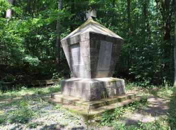
![Trail On foot Ebersdorf b.Coburg - Rundwanderweg Ebersdorf Route 2 - Photo](https://media.geolcdn.com/t/350/260/44e3075a-3f4f-4128-80a8-f7cddf43e16e.jpeg&format=jpg&maxdim=2)
![On foot On foot](https://static1.geolcdn.com/sitytour/trail-icons/100.png)
Km
On foot
![](/images/other/stat-length.png)
![](https://static1.geolcdn.com/siteimages/upload/files/1508320355ic_sort_den_pos_24dp.png)
![](https://static1.geolcdn.com/siteimages/upload/files/1508320355ic_sort_den_neg_24dp.png)
![](https://static1.geolcdn.com/siteimages/upload/files/16400158638029165_repeat_loop_refresh_sync_direction_icon.png)
• Trail created by Gemeinde Ebersdorf b.Coburg. Symbol: Metallschild mit ausgeschnittener Ziffer "2"
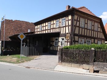
![Trail On foot Seßlach - Wanderweg Gelber Balken - Photo](https://media.geolcdn.com/t/350/260/e3890aa9-56e0-4408-9489-66a2c93ad9c8.jpeg&format=jpg&maxdim=2)
![On foot On foot](https://static1.geolcdn.com/sitytour/trail-icons/100.png)
Km
On foot
![](/images/other/stat-length.png)
![](https://static1.geolcdn.com/siteimages/upload/files/1508320355ic_sort_den_pos_24dp.png)
![](https://static1.geolcdn.com/siteimages/upload/files/1508320355ic_sort_den_neg_24dp.png)
![](https://static1.geolcdn.com/siteimages/upload/files/16400158638029165_repeat_loop_refresh_sync_direction_icon.png)
• Symbol: Gelber Balken auf weißem Hintergrund
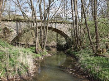
![Trail On foot Seßlach - Rund um den Christenstein - Photo](https://media.geolcdn.com/t/350/260/6b8bf001-3dc5-405f-9d7a-c07018ca8184.jpeg&format=jpg&maxdim=2)
![On foot On foot](https://static1.geolcdn.com/sitytour/trail-icons/100.png)
Km
On foot
![](/images/other/stat-length.png)
![](https://static1.geolcdn.com/siteimages/upload/files/1508320355ic_sort_den_pos_24dp.png)
![](https://static1.geolcdn.com/siteimages/upload/files/1508320355ic_sort_den_neg_24dp.png)
![](https://static1.geolcdn.com/siteimages/upload/files/16400158638029165_repeat_loop_refresh_sync_direction_icon.png)
• Trail created by Stadt Seßlach. Symbol: Stilisierter gelber Torturm auf weißem Hintergrund
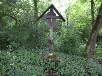
![Trail On foot Seßlach - Grenzlandweg - Photo](https://media.geolcdn.com/t/350/260/ffc2e6ac-4eec-407e-b1ba-9d1f729d5c13.jpeg&format=jpg&maxdim=2)
![On foot On foot](https://static1.geolcdn.com/sitytour/trail-icons/100.png)
Km
On foot
![](/images/other/stat-length.png)
![](https://static1.geolcdn.com/siteimages/upload/files/1508320355ic_sort_den_pos_24dp.png)
![](https://static1.geolcdn.com/siteimages/upload/files/1508320355ic_sort_den_neg_24dp.png)
![](https://static1.geolcdn.com/siteimages/upload/files/16400158638029165_repeat_loop_refresh_sync_direction_icon.png)
• Trail created by Stadt Seßlach. Symbol: Stilisierter roter Torturm auf weißem Hintergrund
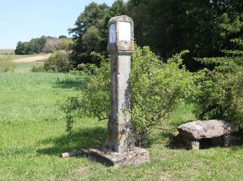
![Trail On foot Seßlach - Wanderweg Unterelldorf - Photo](https://media.geolcdn.com/t/350/260/eea554be-6d5b-4fbf-bbe0-e409c525a425.jpeg&format=jpg&maxdim=2)
![On foot On foot](https://static1.geolcdn.com/sitytour/trail-icons/100.png)
Km
On foot
![](/images/other/stat-length.png)
![](https://static1.geolcdn.com/siteimages/upload/files/1508320355ic_sort_den_pos_24dp.png)
![](https://static1.geolcdn.com/siteimages/upload/files/1508320355ic_sort_den_neg_24dp.png)
![](https://static1.geolcdn.com/siteimages/upload/files/16400158638029165_repeat_loop_refresh_sync_direction_icon.png)
• unzureichende Markierung Symbol: Blaues Andreaskreuz auf weißem Hintergrund
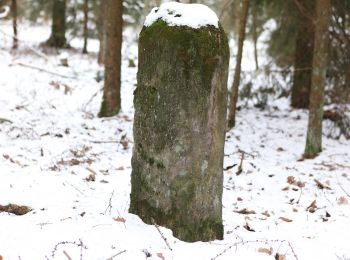
![Trail On foot Seßlach - Bürgerwaldrundweg - Photo](https://media.geolcdn.com/t/350/260/0506056c-3a31-42b2-be38-c29339af82b5.jpeg&format=jpg&maxdim=2)
![On foot On foot](https://static1.geolcdn.com/sitytour/trail-icons/100.png)
Km
On foot
![](/images/other/stat-length.png)
![](https://static1.geolcdn.com/siteimages/upload/files/1508320355ic_sort_den_pos_24dp.png)
![](https://static1.geolcdn.com/siteimages/upload/files/1508320355ic_sort_den_neg_24dp.png)
![](https://static1.geolcdn.com/siteimages/upload/files/16400158638029165_repeat_loop_refresh_sync_direction_icon.png)
• Trail created by Stadt Seßlach. Symbol: Stilisierter brauner Torturm auf weißem Hintergrund
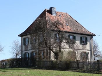
![Trail On foot Grub a.Forst - Rundweg Grub G 1 - Photo](https://media.geolcdn.com/t/350/260/750248c8-5955-4432-81b7-73870e68ded0.jpeg&format=jpg&maxdim=2)
![On foot On foot](https://static1.geolcdn.com/sitytour/trail-icons/100.png)
Km
On foot
![](/images/other/stat-length.png)
![](https://static1.geolcdn.com/siteimages/upload/files/1508320355ic_sort_den_pos_24dp.png)
![](https://static1.geolcdn.com/siteimages/upload/files/1508320355ic_sort_den_neg_24dp.png)
![](https://static1.geolcdn.com/siteimages/upload/files/16400158638029165_repeat_loop_refresh_sync_direction_icon.png)
• Trail created by Grub am Forst. teilweise schlecht markiert Symbol: Schwarze G 1 auf weißem Hintergrund
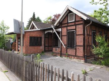
![Trail On foot Grub a.Forst - Rundweg G 3 - Photo](https://media.geolcdn.com/t/350/260/b27acc49-7276-401d-b232-c2c7ad30d5b3.jpeg&format=jpg&maxdim=2)
![On foot On foot](https://static1.geolcdn.com/sitytour/trail-icons/100.png)
Km
On foot
![](/images/other/stat-length.png)
![](https://static1.geolcdn.com/siteimages/upload/files/1508320355ic_sort_den_pos_24dp.png)
![](https://static1.geolcdn.com/siteimages/upload/files/1508320355ic_sort_den_neg_24dp.png)
![](https://static1.geolcdn.com/siteimages/upload/files/16400158638029165_repeat_loop_refresh_sync_direction_icon.png)
• Symbol: Blaue G 3 auf weißem Hintergrund
![Trail On foot Itzgrund - Rundwanderweg Storch Kaltenbrunn - Photo](https://media.geolcdn.com/t/350/260/00a1c6b0-b4d9-4ecf-b054-ea71ceee960e.jpeg&format=jpg&maxdim=2)
![On foot On foot](https://static1.geolcdn.com/sitytour/trail-icons/100.png)
Km
On foot
![](/images/other/stat-length.png)
![](https://static1.geolcdn.com/siteimages/upload/files/1508320355ic_sort_den_pos_24dp.png)
![](https://static1.geolcdn.com/siteimages/upload/files/1508320355ic_sort_den_neg_24dp.png)
![](https://static1.geolcdn.com/siteimages/upload/files/16400158638029165_repeat_loop_refresh_sync_direction_icon.png)
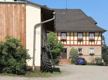
• Trail created by Gemeinde Itzgrund. Symbol: Schwarzer Storch auf weißem Hintergrund
![Trail On foot Grub a.Forst - Krümmelsbach Rundweg (Grub am Forst) - Photo](https://media.geolcdn.com/t/350/260/cd798608-eb9d-407c-86bc-db3ce0525a9d.jpeg&format=jpg&maxdim=2)
![On foot On foot](https://static1.geolcdn.com/sitytour/trail-icons/100.png)
Km
On foot
![](/images/other/stat-length.png)
![](https://static1.geolcdn.com/siteimages/upload/files/1508320355ic_sort_den_pos_24dp.png)
![](https://static1.geolcdn.com/siteimages/upload/files/1508320355ic_sort_den_neg_24dp.png)
![](https://static1.geolcdn.com/siteimages/upload/files/16400158638029165_repeat_loop_refresh_sync_direction_icon.png)
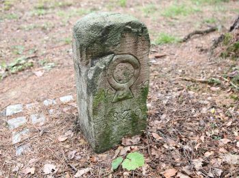
• Symbol: Grüner Ring auf weißem Hintergrund
![Trail On foot Sonnefeld - Mitwitzer Runde - Photo](https://media.geolcdn.com/t/350/260/04c95145-31f3-479b-a477-d161234d2246.jpeg&format=jpg&maxdim=2)
![On foot On foot](https://static1.geolcdn.com/sitytour/trail-icons/100.png)
Km
On foot
![](/images/other/stat-length.png)
![](https://static1.geolcdn.com/siteimages/upload/files/1508320355ic_sort_den_pos_24dp.png)
![](https://static1.geolcdn.com/siteimages/upload/files/1508320355ic_sort_den_neg_24dp.png)
![](https://static1.geolcdn.com/siteimages/upload/files/16400158638029165_repeat_loop_refresh_sync_direction_icon.png)
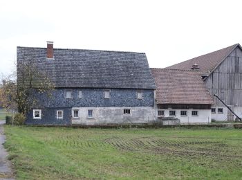
• Trail created by Frankenwaldverein e.V.. Symbol: Grüne KC 34 auf weißem Hintergrund Website: https://frankenwaldve...
![Trail On foot Großheirath - Steinlegendenweg - Photo](https://media.geolcdn.com/t/350/260/24b2cbbe-87ad-49b3-9950-d2e450711dc2.jpeg&format=jpg&maxdim=2)
![On foot On foot](https://static1.geolcdn.com/sitytour/trail-icons/100.png)
Km
On foot
![](/images/other/stat-length.png)
![](https://static1.geolcdn.com/siteimages/upload/files/1508320355ic_sort_den_pos_24dp.png)
![](https://static1.geolcdn.com/siteimages/upload/files/1508320355ic_sort_den_neg_24dp.png)
![](https://static1.geolcdn.com/siteimages/upload/files/16400158638029165_repeat_loop_refresh_sync_direction_icon.png)
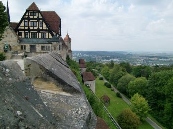
• Trail created by Gemeinde Großheirath. mapped by roamingbecki 2014-12-15 Symbol: Graues Steinkreuz auf weißem Hinte...
![Trail On foot Rödental - Emil-Rädlein-Weg - Photo](https://media.geolcdn.com/t/350/260/800c4313-e081-419c-86df-35ea7ac39f16.jpeg&format=jpg&maxdim=2)
![On foot On foot](https://static1.geolcdn.com/sitytour/trail-icons/100.png)
Km
On foot
![](/images/other/stat-length.png)
![](https://static1.geolcdn.com/siteimages/upload/files/1508320355ic_sort_den_pos_24dp.png)
![](https://static1.geolcdn.com/siteimages/upload/files/1508320355ic_sort_den_neg_24dp.png)
![](https://static1.geolcdn.com/siteimages/upload/files/16400158638029165_repeat_loop_refresh_sync_direction_icon.png)
• Trail created by Thüringerwald-Verein Coburg e. V.. mapped by roamingbecki 2015-01-11 Symbol: Blauer Punkt in weiße...
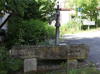
![Trail On foot Weitramsdorf - Schlettach -Ummerstadt - Photo](https://media.geolcdn.com/t/350/260/f624d4bc-4725-43f2-93a5-e4a8c5547d00.jpeg&format=jpg&maxdim=2)
![On foot On foot](https://static1.geolcdn.com/sitytour/trail-icons/100.png)
Km
On foot
![](/images/other/stat-length.png)
![](https://static1.geolcdn.com/siteimages/upload/files/1508320355ic_sort_den_pos_24dp.png)
![](https://static1.geolcdn.com/siteimages/upload/files/1508320355ic_sort_den_neg_24dp.png)
![](https://static1.geolcdn.com/siteimages/upload/files/16400158638029165_repeat_loop_refresh_sync_direction_icon.png)
• Trail created by Thüringerwald-Verein Coburg e. V.. mapped by roamingbecki 2014-12-14
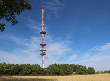
![Trail On foot Meeder - Oberlauter - Donnerloch - Alexandrinenhütte - Photo](https://media.geolcdn.com/t/350/260/4dd0a314-672a-4d19-9ced-614e47990967.jpeg&format=jpg&maxdim=2)
![On foot On foot](https://static1.geolcdn.com/sitytour/trail-icons/100.png)
Km
On foot
![](/images/other/stat-length.png)
![](https://static1.geolcdn.com/siteimages/upload/files/1508320355ic_sort_den_pos_24dp.png)
![](https://static1.geolcdn.com/siteimages/upload/files/1508320355ic_sort_den_neg_24dp.png)
![](https://static1.geolcdn.com/siteimages/upload/files/16400158638029165_repeat_loop_refresh_sync_direction_icon.png)
• Trail created by Thüringerwald-Verein Coburg. Symbol: Roter Gegenschrägstrich auf weißem Grund Website: http://www...
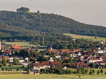
![Trail On foot Untersiemau - Planetenweg - Photo](https://media.geolcdn.com/t/350/260/ecd49937-e612-479e-b57e-e35f320e61dc.jpeg&format=jpg&maxdim=2)
![On foot On foot](https://static1.geolcdn.com/sitytour/trail-icons/100.png)
Km
On foot
![](/images/other/stat-length.png)
![](https://static1.geolcdn.com/siteimages/upload/files/1508320355ic_sort_den_pos_24dp.png)
![](https://static1.geolcdn.com/siteimages/upload/files/1508320355ic_sort_den_neg_24dp.png)
![](https://static1.geolcdn.com/siteimages/upload/files/16400158638029165_repeat_loop_refresh_sync_direction_icon.png)
• Trail created by Landkreis Lichtenfels. Symbol: Weißer Ring auf blauem Hintergrund
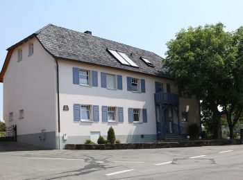
![Trail On foot Ebersdorf b.Coburg - Rundwanderweg Ebersdorf Route 1 - Photo](https://media.geolcdn.com/t/350/260/9e8afe0a-7c70-4cfb-b46e-f8f361752fa6.jpeg&format=jpg&maxdim=2)
![On foot On foot](https://static1.geolcdn.com/sitytour/trail-icons/100.png)
Km
On foot
![](/images/other/stat-length.png)
![](https://static1.geolcdn.com/siteimages/upload/files/1508320355ic_sort_den_pos_24dp.png)
![](https://static1.geolcdn.com/siteimages/upload/files/1508320355ic_sort_den_neg_24dp.png)
![](https://static1.geolcdn.com/siteimages/upload/files/16400158638029165_repeat_loop_refresh_sync_direction_icon.png)
• Trail created by Gemeinde Ebersdorf b.Coburg. Symbol: Metallschild mit ausgeschnittener Ziffer "1"
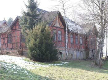
![Trail On foot Rödental - Rundwanderweg Einberger Wald - Photo](https://media.geolcdn.com/t/350/260/7c3b7500-b5ff-4f92-8e19-e994d375a41f.jpeg&format=jpg&maxdim=2)
![On foot On foot](https://static1.geolcdn.com/sitytour/trail-icons/100.png)
Km
On foot
![](/images/other/stat-length.png)
![](https://static1.geolcdn.com/siteimages/upload/files/1508320355ic_sort_den_pos_24dp.png)
![](https://static1.geolcdn.com/siteimages/upload/files/1508320355ic_sort_den_neg_24dp.png)
![](https://static1.geolcdn.com/siteimages/upload/files/16400158638029165_repeat_loop_refresh_sync_direction_icon.png)
• mapped by roamingbecki 2014-03-14 Symbol: Roter Schrägstrich auf weißem Grund
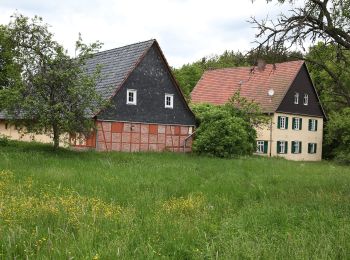
![Trail On foot Rödental - Naturlehrpfad Lauterburg - Photo](https://media.geolcdn.com/t/350/260/2d646f59-49a1-48ed-a5b2-1181a314fec0.jpeg&format=jpg&maxdim=2)
![On foot On foot](https://static1.geolcdn.com/sitytour/trail-icons/100.png)
Km
On foot
![](/images/other/stat-length.png)
![](https://static1.geolcdn.com/siteimages/upload/files/1508320355ic_sort_den_pos_24dp.png)
![](https://static1.geolcdn.com/siteimages/upload/files/1508320355ic_sort_den_neg_24dp.png)
![](https://static1.geolcdn.com/siteimages/upload/files/16400158638029165_repeat_loop_refresh_sync_direction_icon.png)
![Trail Running Neustadt bei Coburg - jos allemagne - Photo](https://media.geolcdn.com/t/350/260/ext.jpg?maxdim=2&url=https%3A%2F%2Fstatic1.geolcdn.com%2Fsiteimages%2Fupload%2Ffiles%2F1524743154running.jpg)
![Running Running](https://static1.geolcdn.com/sitytour/trail-icons/103.png)
Km
Running
![](/images/other/stat-length.png)
![](https://static1.geolcdn.com/siteimages/upload/files/1508320355ic_sort_den_pos_24dp.png)
![](https://static1.geolcdn.com/siteimages/upload/files/1508320355ic_sort_den_neg_24dp.png)
![](https://static1.geolcdn.com/siteimages/upload/files/16400158638029165_repeat_loop_refresh_sync_direction_icon.png)
20 trails displayed on 20
FREE GPS app for hiking