Aub, Landkreis Würzburg: Best trails, routes and walks

Aub: Discover the best trails: 1 hiking trails. All these trails, routes and outdoor activities are available in our SityTrail applications for smartphones and tablets.
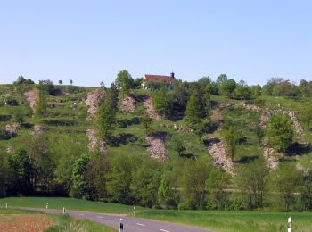

The best trails (1)

Trail On foot Aub - Liebliches Taubertal 26 Zur St. Kunigunde - Photo
On foot 15.304
Km
GUIDE+

On foot

Easy
Aub, Bavaria, Landkreis Würzburg, Germany
15.3 km | 18.1 km-effort
4h 7min
211 m
217 m
No
SityTrail - itinéraires balisés pédestres

• Symbol: blaues Schild mit weißer Schrift, in der Mitte durch eine weiße Linie getrennt. Obehalb "LT", darunter "26"

1 trails displayed on 1

FREE GPS app for hiking

Logo SityTrail SityTrail

IGN / Geographical institutes

Download SityTrail from the App Store Download SityTrail from Google Play

Logo SityTrail SityTrail World

The world is yours!

Download SityTrail from the App Store Download SityTrail from Google Play Download SityTrail on Huawei AppGallery

Activities

Close
My subscriptions