Forchheim, Landkreis Forchheim: Best trails, routes and walks

Forchheim: Discover the best trails: 15 hiking trails. All these trails, routes and outdoor activities are available in our SityTrail applications for smartphones and tablets.


The best trails (15)
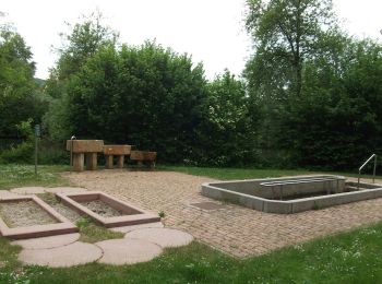
Trail On foot Forchheim - Lauferlebnis Fränkische Schweiz F1 - Photo
On foot 3.73
Km
GUIDE+

On foot

Easy
Forchheim, Bavaria, Landkreis Forchheim, Germany
3.7 km | 4.6 km-effort
1h 2min
63 m
63 m
Yes
SityTrail - itinéraires balisés pédestres

• Trail created by Landkreis Forchheim. Symbol: F1 in weiß auf grünem Hintergrund
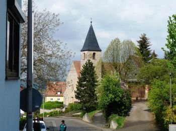
Trail On foot Forchheim - Jubiläumsweg 1914 - Photo
On foot 11.924
Km
GUIDE+

On foot

Easy
Forchheim, Bavaria, Landkreis Forchheim, Germany
11.9 km | 16.1 km-effort
3h 39min
368 m
157 m
No
SityTrail - itinéraires balisés pédestres

• Trail created by Fränkischer Albverein. Symbol: FAV-Emblem auf grünem Hintergrund
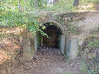
Trail On foot Forchheim - Kersbach-Schlaifhausen - Photo
On foot 8.105
Km
GUIDE+

On foot

Easy
Forchheim, Bavaria, Landkreis Forchheim, Germany
8.1 km | 10.8 km-effort
2h 27min
237 m
112 m
No
SityTrail - itinéraires balisés pédestres

• Trail created by Fränkische Schweiz - Verein. Symbol: Grüner senkrechter Balken auf weißem Grund
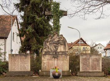
Trail On foot Forchheim - Burk-Lunzkeller - Photo
On foot 12.707
Km
GUIDE+

On foot

Easy
Forchheim, Bavaria, Landkreis Forchheim, Germany
12.7 km | 15.2 km-effort
3h 27min
182 m
198 m
No
SityTrail - itinéraires balisés pédestres

• Trail created by Stadt Forchheim. Symbol: Gelbes Dreieck auf weißem Grund

Trail On foot Forchheim - Forchheim-Rettern - Photo
On foot 11.024
Km
GUIDE+

On foot

Easy
Forchheim, Bavaria, Landkreis Forchheim, Germany
11 km | 15.1 km-effort
3h 26min
338 m
222 m
No
SityTrail - itinéraires balisés pédestres

• Trail created by Deutscher Alpenverein Forchheim. Symbol: Roter Schrägstrich auf weißem Hintergrund
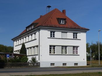
Trail On foot Forchheim - Burk-Schlammersdorf - Photo
On foot 9.206
Km
GUIDE+

On foot

Easy
Forchheim, Bavaria, Landkreis Forchheim, Germany
9.2 km | 11.3 km-effort
2h 33min
153 m
163 m
No
SityTrail - itinéraires balisés pédestres

• Trail created by Stadt Forchheim. Symbol: grünes Kreuz
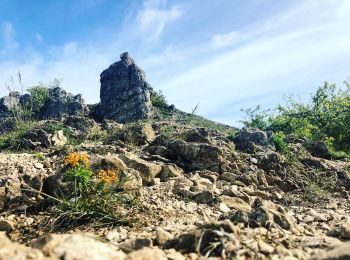
Trail On foot Forchheim - Forchheim-Walberla - Photo
On foot 8.947
Km
GUIDE+

On foot

Easy
Forchheim, Bavaria, Landkreis Forchheim, Germany
8.9 km | 12.4 km-effort
2h 49min
322 m
85 m
No
SityTrail - itinéraires balisés pédestres

• Trail created by Stadt Forchheim. Symbol: Blauer Schrägstrich auf weißem Grund
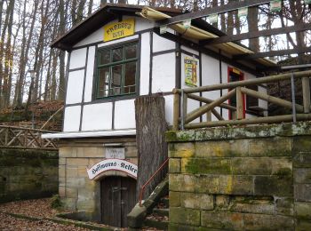
Trail On foot Forchheim - Zielwanderweg Forchheim- Reifenberg - Photo
On foot 10.24
Km
GUIDE+

On foot

Easy
Forchheim, Bavaria, Landkreis Forchheim, Germany
10.2 km | 14.4 km-effort
3h 16min
351 m
196 m
No
SityTrail - itinéraires balisés pédestres

• Trail created by Stadt Forchheim. Symbol: Grüner Schrägstrich auf weißem Hintergrund
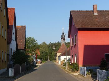
Trail On foot Forchheim - Forchheim-Reifenberg - Photo
On foot 8.852
Km
GUIDE+

On foot

Easy
Forchheim, Bavaria, Landkreis Forchheim, Germany
8.9 km | 12.2 km-effort
2h 46min
294 m
134 m
No
SityTrail - itinéraires balisés pédestres

• Trail created by Stadt Forchheim. Symbol: Grüner senkrechter Strich auf weißem Hintergeund

Trail On foot Forchheim - Forchheim-Weilersbach - Photo
On foot 5.17
Km
GUIDE+

On foot

Easy
Forchheim, Bavaria, Landkreis Forchheim, Germany
5.2 km | 6.7 km-effort
1h 31min
119 m
105 m
No
SityTrail - itinéraires balisés pédestres

• Trail created by Deutscher Alpenverein Forchheim. Symbol: Gelber Senkrechtstrich auf weißem Hintergrund
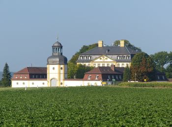
Trail On foot Forchheim - Forchheim-Bammersdorf-Rettern - Photo
On foot 6.021
Km
GUIDE+

On foot

Easy
Forchheim, Bavaria, Landkreis Forchheim, Germany
6 km | 7.5 km-effort
1h 42min
127 m
63 m
No
SityTrail - itinéraires balisés pédestres

• Trail created by Deutscher Alpenverein Forchheim. Symbol: Blauer senkrechter Strich auf weißem Hintergrund
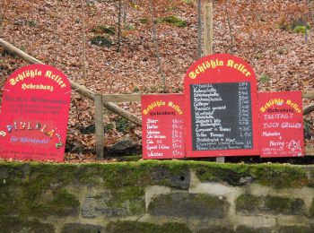
Trail On foot Forchheim - Forchheim Walking-Fitness Route - Photo
On foot 6.84
Km
GUIDE+

On foot

Easy
Forchheim, Bavaria, Landkreis Forchheim, Germany
6.8 km | 8.8 km-effort
1h 59min
144 m
144 m
Yes
SityTrail - itinéraires balisés pédestres

• Trail created by Stadt Forchheim. Symbol: Hellgrüne Tafel
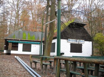
Trail On foot Forchheim - Forchheim Walking-Vital Route - Photo
On foot 5.114
Km
GUIDE+

On foot

Easy
Forchheim, Bavaria, Landkreis Forchheim, Germany
5.1 km | 6.7 km-effort
1h 31min
118 m
117 m
Yes
SityTrail - itinéraires balisés pédestres

• Trail created by Stadt Forchheim. Fast fertig Symbol: Hellblaue Tafel

Trail On foot Forchheim - Forchheim Walking-Jungbrunnen Route - Photo
On foot 3.131
Km
GUIDE+

On foot

Easy
Forchheim, Bavaria, Landkreis Forchheim, Germany
3.1 km | 4.1 km-effort
56min
77 m
71 m
Yes
SityTrail - itinéraires balisés pédestres

• Trail created by Stadt Forchheim. Symbol: Orangene Tafel

Trail On foot Forchheim - Lauferlebnis Fränkische Schweiz F3 - Photo
On foot 11.704
Km
GUIDE+

On foot

Easy
Forchheim, Bavaria, Landkreis Forchheim, Germany
11.7 km | 14.2 km-effort
3h 13min
186 m
186 m
Yes
SityTrail - itinéraires balisés pédestres

• Trail created by Landkreis Forchheim. Symbol: F3 in weiß auf rotem Hintergrund

15 trails displayed on 15

FREE GPS app for hiking

Logo SityTrail SityTrail

IGN / Geographical institutes

Download SityTrail from the App Store Download SityTrail from Google Play

Logo SityTrail SityTrail World

The world is yours!

Download SityTrail from the App Store Download SityTrail from Google Play Download SityTrail on Huawei AppGallery

Activities

Close
My subscriptions