
- Trails
- Outdoor
- Germany
- Bavaria
- Landkreis Forchheim
- Wiesenttal
Wiesenttal, Landkreis Forchheim: Best trails, routes and walks
Wiesenttal: Discover the best trails: 8 hiking trails. All these trails, routes and outdoor activities are available in our SityTrail applications for smartphones and tablets.
The best trails (8)

Km
On foot


• Verlauf in Engelhardsberg und Muggendorf unklar Symbol: Grüner Ring auf weißem Grund

Km
On foot


• Trail created by Stadt Ebermannstadt. abgeschlossen (Mai 2013 by cycling_zno) Symbol: Roter Punkt auf weißem Grund
Km
On foot


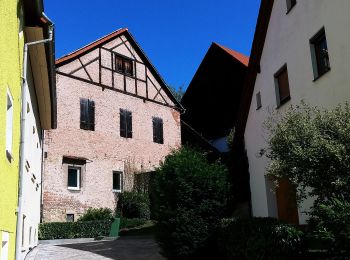
• Trail created by Gemeinde Wiesenttal. Symbol: Braunes Kreuz auf weißem Grund
Km
On foot


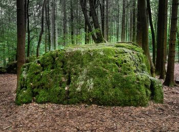
• Trail created by Gemeinde Wiesenttal. abgeschlossen (Mai 2013 by cycling_zno) Symbol: Gelber Ring auf weißem Grund

Km
On foot


• Trail created by Gemeinde Wiesenttal. abgeschlossen (Mai 2013 by cycling_zno) Symbol: Schwarzer Ring auf weißem Grund
Km
On foot


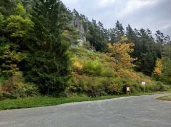
• Trail created by Fränkische Schweiz - Verein. abgeschlossen (Mai 2013 by cycling_zno) Symbol: Schwarzer Kreis auf w...
Km
On foot


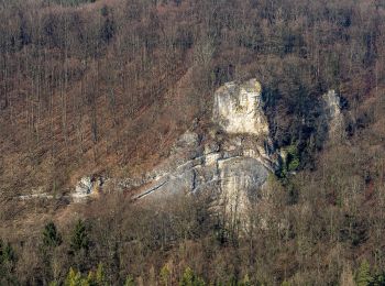
• Trail created by Gemeinde Wiesenttal. abgeschlossen (Mai 2013 by cycling_zno) Symbol: Blauer Ring auf weißem Grund
Km
On foot


• Trail created by Gemeinde Wiesenttal. abgeschlossen (Mai 2013 by cycling_zno) Symbol: Gelber Ring auf weißem Grund
8 trails displayed on 8
FREE GPS app for hiking


 SityTrail


