Eichstätt, Landkreis Eichstätt: Best trails, routes and walks

Eichstätt: Discover the best trails: 8 hiking trails. All these trails, routes and outdoor activities are available in our SityTrail applications for smartphones and tablets.


The best trails (8)
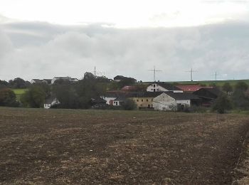
Trail On foot Eichstätt - Rundwanderweg Eichstätt Nr. 5 - Photo
On foot 15.942
Km
GUIDE+

On foot

Medium
Eichstätt, Bavaria, Landkreis Eichstätt, Germany
15.9 km | 21 km-effort
4h 40min
347 m
347 m
Yes
SityTrail - itinéraires balisés pédestres

• Trail created by Tourist-Information Stadt Eichstätt. abgeschlossen (Mai 2014, by cycling_zno) Symbol: grüne Ziffer...
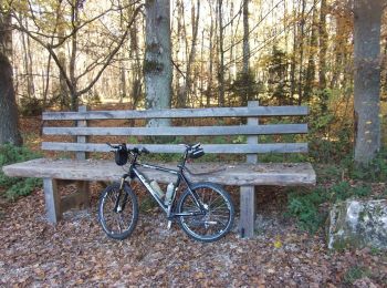
Trail On foot Eichstätt - Rundwanderweg Eichstätt Nr. 2 - Photo
On foot 8.082
Km
GUIDE+

On foot

Easy
Eichstätt, Bavaria, Landkreis Eichstätt, Germany
8.1 km | 9.9 km-effort
2h 15min
144 m
118 m
No
SityTrail - itinéraires balisés pédestres

• Trail created by Tourist-Information Stadt Eichstätt. abgeschlossen (März 2014, by cycling_zno) Symbol: grüne Ziffe...
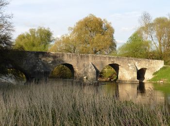
Trail On foot Eichstätt - Rundweg Walting 7 - Photo
On foot 7.781
Km
GUIDE+

On foot

Easy
Eichstätt, Bavaria, Landkreis Eichstätt, Germany
7.8 km | 10.1 km-effort
2h 17min
172 m
168 m
Yes
SityTrail - itinéraires balisés pédestres

• Trail created by Gemeinde Walting. abgeschlossen (Mai 2014, by cycling_zno) Symbol: Grüne 7 auf gelbem Grund
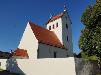
Trail On foot Eichstätt - Feuchtgebiets-Lehrpfad Pfünz - Photo
On foot 3.106
Km
GUIDE+

On foot

Easy
Eichstätt, Bavaria, Landkreis Eichstätt, Germany
3.1 km | 3.6 km-effort
48min
34 m
35 m
No
SityTrail - itinéraires balisés pédestres

• Trail created by Gemeinde Walting. abgeschlossen (März 2014, by cycling_zno) Symbol: t.b.d.

Trail On foot Eichstätt - Rundwanderweg Eichstätt Nr. 1 - Photo
On foot 15.721
Km
GUIDE+

On foot

Medium
Eichstätt, Bavaria, Landkreis Eichstätt, Germany
15.7 km | 22 km-effort
4h 56min
452 m
449 m
Yes
SityTrail - itinéraires balisés pédestres

• Trail created by Tourist-Information Stadt Eichstätt. abgeschlossen (März 2014, by cycling_zno) Symbol: grüne Ziffe...
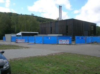
Trail On foot Eichstätt - Nordic Walking Park Eichstätt Route 3 Auwäldchen - Photo
On foot 4.966
Km
GUIDE+

On foot

Easy
Eichstätt, Bavaria, Landkreis Eichstätt, Germany
5 km | 6.8 km-effort
1h 32min
133 m
154 m
No
SityTrail - itinéraires balisés pédestres

• Trail created by Tourist-Information Stadt Eichstätt. Symbol: rote Ziffer 3 und grünes Nordic-Walking-Piktogramm auf...

Trail On foot Eichstätt - KultURwald - Photo
On foot 3.589
Km
GUIDE+

On foot

Easy
Eichstätt, Bavaria, Landkreis Eichstätt, Germany
3.6 km | 5 km-effort
1h 7min
95 m
128 m
Yes
SityTrail - itinéraires balisés pédestres

• Trail created by Stadt Eichstätt. Symbol: grün auf weiss, KultURwald
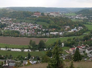
Trail On foot Eichstätt - Rundwanderweg Eichstätt Nr. 7 - Photo
On foot 10.656
Km
GUIDE+

On foot

Easy
Eichstätt, Bavaria, Landkreis Eichstätt, Germany
10.7 km | 14.9 km-effort
3h 23min
320 m
322 m
Yes
SityTrail - itinéraires balisés pédestres

• Trail created by Tourist-Information Stadt Eichstätt. abgeschlossen (März 2014, by cycling_zno) Symbol: grüne Ziffe...

8 trails displayed on 8

FREE GPS app for hiking

Logo SityTrail SityTrail

IGN / Geographical institutes

Download SityTrail from the App Store Download SityTrail from Google Play

Logo SityTrail SityTrail World

The world is yours!

Download SityTrail from the App Store Download SityTrail from Google Play Download SityTrail on Huawei AppGallery

Activities

Close
My subscriptions