![](/images/other/stat-length.png)
Landkreis Donau-Ries, Bavaria: Best trails, routes and walks
Landkreis Donau-Ries: Discover the best trails: 32 hiking trails and 1 bike and mountain-bike routes. All these trails, routes and outdoor activities are available in our SityTrail applications for smartphones and tablets.
The best trails (34)
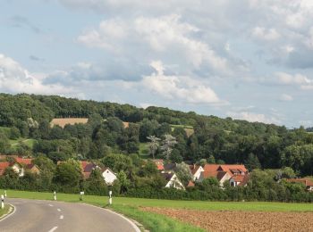
![Trail On foot Hainsfarth - Hainsfarth Geologischer Pfad - Photo](https://media.geolcdn.com/t/350/260/49d6997a-fb4c-4b8f-af4c-c04b5bf1774a.jpeg&format=jpg&maxdim=2)
![On foot On foot](https://static1.geolcdn.com/sitytour/trail-icons/100.png)
Km
On foot
![](/images/other/stat-length.png)
![](https://static1.geolcdn.com/siteimages/upload/files/1508320355ic_sort_den_pos_24dp.png)
![](https://static1.geolcdn.com/siteimages/upload/files/1508320355ic_sort_den_neg_24dp.png)
![](https://static1.geolcdn.com/siteimages/upload/files/16400158638029165_repeat_loop_refresh_sync_direction_icon.png)
• Trail created by Gemeinde Hainsfarth. abgeschlossen (August 2014, by cycling_zno) Symbol: Schwarze 2 auf gelbem Grund
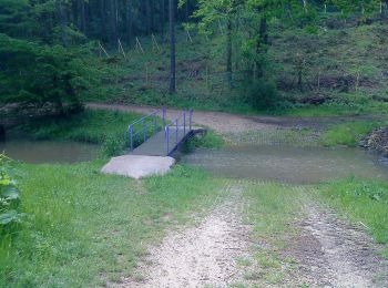
![Trail On foot Monheim - Karstlehrpfad Monheim - Photo](https://media.geolcdn.com/t/350/260/071423fa-0500-4661-aad2-cfcf3e10fc7a.jpeg&format=jpg&maxdim=2)
![On foot On foot](https://static1.geolcdn.com/sitytour/trail-icons/100.png)
Km
On foot
![](/images/other/stat-length.png)
![](https://static1.geolcdn.com/siteimages/upload/files/1508320355ic_sort_den_pos_24dp.png)
![](https://static1.geolcdn.com/siteimages/upload/files/1508320355ic_sort_den_neg_24dp.png)
![](https://static1.geolcdn.com/siteimages/upload/files/16400158638029165_repeat_loop_refresh_sync_direction_icon.png)
• Trail created by Stadt Monheim. Symbol: Grüne Schrift auf gelbem Grund
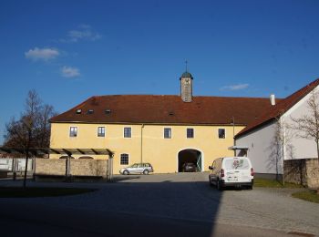
![Trail On foot Tagmersheim - Dolinenlehrpfad Tagmersheim - Photo](https://media.geolcdn.com/t/350/260/e47369a1-479c-4fac-aac1-5fbafa1c2875.jpeg&format=jpg&maxdim=2)
![On foot On foot](https://static1.geolcdn.com/sitytour/trail-icons/100.png)
Km
On foot
![](/images/other/stat-length.png)
![](https://static1.geolcdn.com/siteimages/upload/files/1508320355ic_sort_den_pos_24dp.png)
![](https://static1.geolcdn.com/siteimages/upload/files/1508320355ic_sort_den_neg_24dp.png)
![](https://static1.geolcdn.com/siteimages/upload/files/16400158638029165_repeat_loop_refresh_sync_direction_icon.png)
• Trail created by Stadt Monheim. Symbol: Grüne Schrift auf gelbem Grund
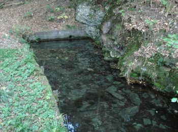
![Trail On foot Huisheim - Rundwanderweg Monheim 16 - Photo](https://media.geolcdn.com/t/350/260/09f03bd8-4504-44cd-b3b3-866cc3bc2725.jpeg&format=jpg&maxdim=2)
![On foot On foot](https://static1.geolcdn.com/sitytour/trail-icons/100.png)
Km
On foot
![](/images/other/stat-length.png)
![](https://static1.geolcdn.com/siteimages/upload/files/1508320355ic_sort_den_pos_24dp.png)
![](https://static1.geolcdn.com/siteimages/upload/files/1508320355ic_sort_den_neg_24dp.png)
![](https://static1.geolcdn.com/siteimages/upload/files/16400158638029165_repeat_loop_refresh_sync_direction_icon.png)
• Trail created by Stadt Monheim. abgeschlossen (Juli 2014, by cycling_zno) Symbol: Grüne 16 auf gelbem Grund
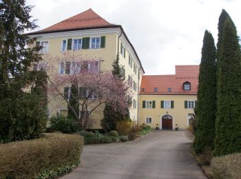
![Trail On foot Fünfstetten - Rundwanderweg Monheim 15 - Photo](https://media.geolcdn.com/t/350/260/70ec8b26-5e27-4144-885e-231e6aacd019.jpeg&format=jpg&maxdim=2)
![On foot On foot](https://static1.geolcdn.com/sitytour/trail-icons/100.png)
Km
On foot
![](/images/other/stat-length.png)
![](https://static1.geolcdn.com/siteimages/upload/files/1508320355ic_sort_den_pos_24dp.png)
![](https://static1.geolcdn.com/siteimages/upload/files/1508320355ic_sort_den_neg_24dp.png)
![](https://static1.geolcdn.com/siteimages/upload/files/16400158638029165_repeat_loop_refresh_sync_direction_icon.png)
• Trail created by Stadt Monheim. abgeschlossen (Juli 2014, by cycling_zno) Symbol: Grüne 15 auf gelbem Grund
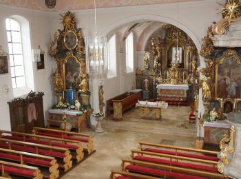
![Trail On foot Otting - Rundwanderweg Monheim 4 ? Bei Wolferstadt - Photo](https://media.geolcdn.com/t/350/260/344227db-ca7e-4334-863e-8819cc9a8d1d.jpeg&format=jpg&maxdim=2)
![On foot On foot](https://static1.geolcdn.com/sitytour/trail-icons/100.png)
Km
On foot
![](/images/other/stat-length.png)
![](https://static1.geolcdn.com/siteimages/upload/files/1508320355ic_sort_den_pos_24dp.png)
![](https://static1.geolcdn.com/siteimages/upload/files/1508320355ic_sort_den_neg_24dp.png)
![](https://static1.geolcdn.com/siteimages/upload/files/16400158638029165_repeat_loop_refresh_sync_direction_icon.png)
• Trail created by Stadt Monheim. Symbol: Grüne 4 auf gelbem Grund
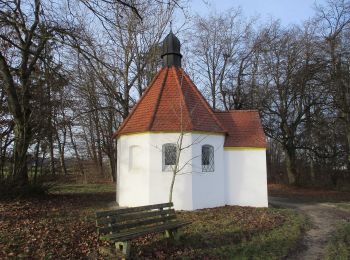
![Trail On foot Monheim - Rundwanderweg Monheim 6 - Photo](https://media.geolcdn.com/t/350/260/210585b0-0e42-4bd5-af55-3a76f6a871e0.jpeg&format=jpg&maxdim=2)
![On foot On foot](https://static1.geolcdn.com/sitytour/trail-icons/100.png)
Km
On foot
![](/images/other/stat-length.png)
![](https://static1.geolcdn.com/siteimages/upload/files/1508320355ic_sort_den_pos_24dp.png)
![](https://static1.geolcdn.com/siteimages/upload/files/1508320355ic_sort_den_neg_24dp.png)
![](https://static1.geolcdn.com/siteimages/upload/files/16400158638029165_repeat_loop_refresh_sync_direction_icon.png)
• Trail created by Stadt Monheim. Symbol: Grüne 6 auf gelbem Grund
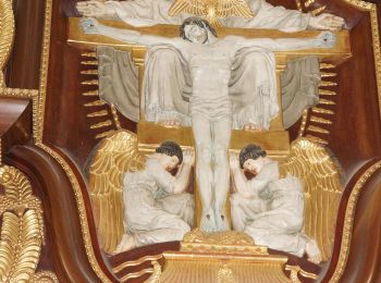
![Trail On foot Monheim - Rundwanderweg Monheim 7 - Photo](https://media.geolcdn.com/t/350/260/768efffc-08b3-4504-a802-22dc7a3b1949.jpeg&format=jpg&maxdim=2)
![On foot On foot](https://static1.geolcdn.com/sitytour/trail-icons/100.png)
Km
On foot
![](/images/other/stat-length.png)
![](https://static1.geolcdn.com/siteimages/upload/files/1508320355ic_sort_den_pos_24dp.png)
![](https://static1.geolcdn.com/siteimages/upload/files/1508320355ic_sort_den_neg_24dp.png)
![](https://static1.geolcdn.com/siteimages/upload/files/16400158638029165_repeat_loop_refresh_sync_direction_icon.png)
• Trail created by Stadt Monheim. Symbol: Grüne 7 auf gelbem Grund
![Trail On foot Tagmersheim - Rundwanderweg Monheim 9 - Photo](https://media.geolcdn.com/t/350/260/02497333-2234-4f65-90a1-e72cf2850190.jpeg&format=jpg&maxdim=2)
![On foot On foot](https://static1.geolcdn.com/sitytour/trail-icons/100.png)
Km
On foot
![](/images/other/stat-length.png)
![](https://static1.geolcdn.com/siteimages/upload/files/1508320355ic_sort_den_pos_24dp.png)
![](https://static1.geolcdn.com/siteimages/upload/files/1508320355ic_sort_den_neg_24dp.png)
![](https://static1.geolcdn.com/siteimages/upload/files/16400158638029165_repeat_loop_refresh_sync_direction_icon.png)
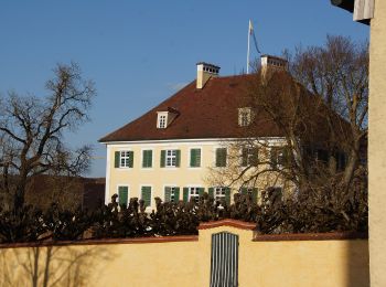
• Trail created by Stadt Monheim. Symbol: Grüne 9 auf gelbem Grund
![Trail On foot Buchdorf - Rundwanderweg Monheim 13 - Photo](https://media.geolcdn.com/t/350/260/6e9772ea-da58-47cf-9fa1-6f0f7f7d3a29.jpeg&format=jpg&maxdim=2)
![On foot On foot](https://static1.geolcdn.com/sitytour/trail-icons/100.png)
Km
On foot
![](/images/other/stat-length.png)
![](https://static1.geolcdn.com/siteimages/upload/files/1508320355ic_sort_den_pos_24dp.png)
![](https://static1.geolcdn.com/siteimages/upload/files/1508320355ic_sort_den_neg_24dp.png)
![](https://static1.geolcdn.com/siteimages/upload/files/16400158638029165_repeat_loop_refresh_sync_direction_icon.png)
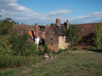
• Trail created by Stadt Monheim. Symbol: Grüne 13 auf gelbem Grund
![Trail On foot Buchdorf - Rundwanderweg Monheim 14 - Photo](https://media.geolcdn.com/t/350/260/887304bf-20ed-4e4e-90c9-91439128ae8b.jpeg&format=jpg&maxdim=2)
![On foot On foot](https://static1.geolcdn.com/sitytour/trail-icons/100.png)
Km
On foot
![](/images/other/stat-length.png)
![](https://static1.geolcdn.com/siteimages/upload/files/1508320355ic_sort_den_pos_24dp.png)
![](https://static1.geolcdn.com/siteimages/upload/files/1508320355ic_sort_den_neg_24dp.png)
![](https://static1.geolcdn.com/siteimages/upload/files/16400158638029165_repeat_loop_refresh_sync_direction_icon.png)
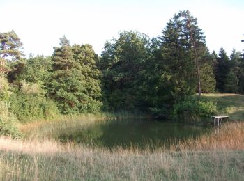
• Trail created by Stadt Monheim. Symbol: Grüne 14 auf gelbem Grund
![Trail On foot Wolferstadt - Rundwanderweg Monheim 1 - Photo](https://media.geolcdn.com/t/350/260/344227db-ca7e-4334-863e-8819cc9a8d1d.jpeg&format=jpg&maxdim=2)
![On foot On foot](https://static1.geolcdn.com/sitytour/trail-icons/100.png)
Km
On foot
![](/images/other/stat-length.png)
![](https://static1.geolcdn.com/siteimages/upload/files/1508320355ic_sort_den_pos_24dp.png)
![](https://static1.geolcdn.com/siteimages/upload/files/1508320355ic_sort_den_neg_24dp.png)
![](https://static1.geolcdn.com/siteimages/upload/files/16400158638029165_repeat_loop_refresh_sync_direction_icon.png)
• Trail created by Stadt Monheim. Symbol: Grüne 1 auf gelbem Grund
![Trail On foot Marxheim - Rundwanderweg Monheim 11 - Photo](https://media.geolcdn.com/t/350/260/1d6355ce-b3f4-4887-935c-b4926d17cd20.jpeg&format=jpg&maxdim=2)
![On foot On foot](https://static1.geolcdn.com/sitytour/trail-icons/100.png)
Km
On foot
![](/images/other/stat-length.png)
![](https://static1.geolcdn.com/siteimages/upload/files/1508320355ic_sort_den_pos_24dp.png)
![](https://static1.geolcdn.com/siteimages/upload/files/1508320355ic_sort_den_neg_24dp.png)
![](https://static1.geolcdn.com/siteimages/upload/files/16400158638029165_repeat_loop_refresh_sync_direction_icon.png)
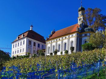
• Trail created by Stadt Monheim. Symbol: Grüne 11 auf gelbem Grund
![Trail On foot Daiting - Rundwanderweg Monheim 10 - Photo](https://media.geolcdn.com/t/350/260/fa58309f-d072-44c7-ad3e-a97e78e9268f.jpeg&format=jpg&maxdim=2)
![On foot On foot](https://static1.geolcdn.com/sitytour/trail-icons/100.png)
Km
On foot
![](/images/other/stat-length.png)
![](https://static1.geolcdn.com/siteimages/upload/files/1508320355ic_sort_den_pos_24dp.png)
![](https://static1.geolcdn.com/siteimages/upload/files/1508320355ic_sort_den_neg_24dp.png)
![](https://static1.geolcdn.com/siteimages/upload/files/16400158638029165_repeat_loop_refresh_sync_direction_icon.png)
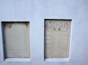
• Trail created by Stadt Monheim. Symbol: Grüne 10 auf gelbem Grund
![Trail On foot Wolferstadt - Rundwanderweg Monheim 3 - Photo](https://media.geolcdn.com/t/350/260/344227db-ca7e-4334-863e-8819cc9a8d1d.jpeg&format=jpg&maxdim=2)
![On foot On foot](https://static1.geolcdn.com/sitytour/trail-icons/100.png)
Km
On foot
![](/images/other/stat-length.png)
![](https://static1.geolcdn.com/siteimages/upload/files/1508320355ic_sort_den_pos_24dp.png)
![](https://static1.geolcdn.com/siteimages/upload/files/1508320355ic_sort_den_neg_24dp.png)
![](https://static1.geolcdn.com/siteimages/upload/files/16400158638029165_repeat_loop_refresh_sync_direction_icon.png)
• Trail created by Stadt Monheim. Symbol: Grüne 3 auf gelbem Grund
![Trail On foot Wolferstadt - Rundwanderweg Monheim 2 ? Bei Wolferstadt - Photo](https://media.geolcdn.com/t/350/260/86c67764-4248-4794-91ac-7f51086b4eff.jpeg&format=jpg&maxdim=2)
![On foot On foot](https://static1.geolcdn.com/sitytour/trail-icons/100.png)
Km
On foot
![](/images/other/stat-length.png)
![](https://static1.geolcdn.com/siteimages/upload/files/1508320355ic_sort_den_pos_24dp.png)
![](https://static1.geolcdn.com/siteimages/upload/files/1508320355ic_sort_den_neg_24dp.png)
![](https://static1.geolcdn.com/siteimages/upload/files/16400158638029165_repeat_loop_refresh_sync_direction_icon.png)
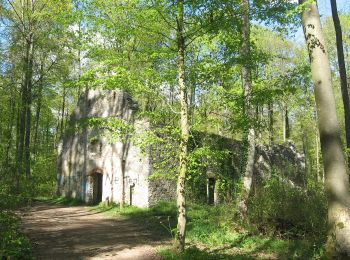
• Trail created by Stadt Monheim. Symbol: Grüne 2 auf gelbem Grund
![Trail On foot Monheim - Ein Tag in herrlicher Juralandschaft - Photo](https://media.geolcdn.com/t/350/260/7117afb2-430d-4ce7-96b7-a69d52fb5bab.jpeg&format=jpg&maxdim=2)
![On foot On foot](https://static1.geolcdn.com/sitytour/trail-icons/100.png)
Km
On foot
![](/images/other/stat-length.png)
![](https://static1.geolcdn.com/siteimages/upload/files/1508320355ic_sort_den_pos_24dp.png)
![](https://static1.geolcdn.com/siteimages/upload/files/1508320355ic_sort_den_neg_24dp.png)
![](https://static1.geolcdn.com/siteimages/upload/files/16400158638029165_repeat_loop_refresh_sync_direction_icon.png)
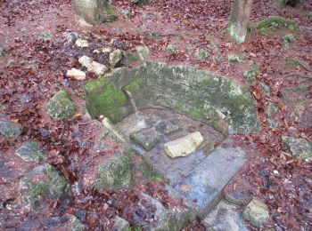
• Trail created by Stadt Monheim. abgeschlossen (März 2014, by cycling_zno) Symbol: Grüne 5 auf gelbem Grund
![Trail On foot Mertingen - Ried Rundweg - Photo](https://media.geolcdn.com/t/350/260/a3ad8c6d-5971-4aeb-9359-be23f6ca4876.jpeg&format=jpg&maxdim=2)
![On foot On foot](https://static1.geolcdn.com/sitytour/trail-icons/100.png)
Km
On foot
![](/images/other/stat-length.png)
![](https://static1.geolcdn.com/siteimages/upload/files/1508320355ic_sort_den_pos_24dp.png)
![](https://static1.geolcdn.com/siteimages/upload/files/1508320355ic_sort_den_neg_24dp.png)
![](https://static1.geolcdn.com/siteimages/upload/files/16400158638029165_repeat_loop_refresh_sync_direction_icon.png)
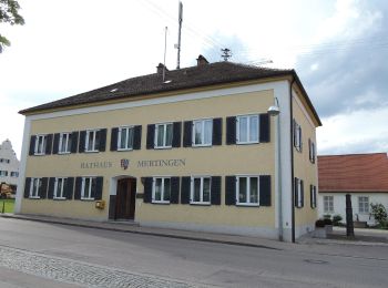
• Trail created by Ferienland Donau-Ries.
![Trail On foot Nördlingen - Schäferweg - Photo](https://media.geolcdn.com/t/350/260/85768553-386f-4b16-8436-601a68856beb.jpeg&format=jpg&maxdim=2)
![On foot On foot](https://static1.geolcdn.com/sitytour/trail-icons/100.png)
Km
On foot
![](/images/other/stat-length.png)
![](https://static1.geolcdn.com/siteimages/upload/files/1508320355ic_sort_den_pos_24dp.png)
![](https://static1.geolcdn.com/siteimages/upload/files/1508320355ic_sort_den_neg_24dp.png)
![](https://static1.geolcdn.com/siteimages/upload/files/16400158638029165_repeat_loop_refresh_sync_direction_icon.png)
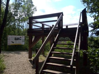
• Trail created by Geopark Ries. Symbol: unten rot oben gelb. Geopark Logo. Name im roten Feld
![Trail On foot Mönchsdeggingen - Eisbrunn Rundweg - Photo](https://media.geolcdn.com/t/350/260/0d77b28e-11c9-4d63-ab35-7992c438c87a.jpeg&format=jpg&maxdim=2)
![On foot On foot](https://static1.geolcdn.com/sitytour/trail-icons/100.png)
Km
On foot
![](/images/other/stat-length.png)
![](https://static1.geolcdn.com/siteimages/upload/files/1508320355ic_sort_den_pos_24dp.png)
![](https://static1.geolcdn.com/siteimages/upload/files/1508320355ic_sort_den_neg_24dp.png)
![](https://static1.geolcdn.com/siteimages/upload/files/16400158638029165_repeat_loop_refresh_sync_direction_icon.png)
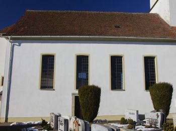
• Trail created by Ferienland Donau-Ries. Symbol: oben weiß unten blau oben Logo unten Wanderwegname
20 trails displayed on 34
FREE GPS app for hiking