Oberaudorf, Landkreis Rosenheim: Best trails, routes and walks

Oberaudorf: Discover the best trails: 13 hiking trails. All these trails, routes and outdoor activities are available in our SityTrail applications for smartphones and tablets.


The best trails (13)
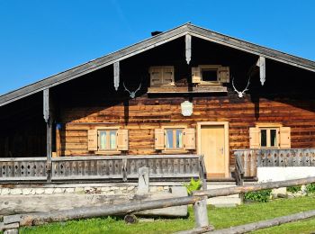
Trail On foot Oberaudorf - Wanderweg 662 - Unteres Sudelfeld - Wildalpjoch - Photo
On foot 4.509
Km
GUIDE+

On foot

Easy
Oberaudorf, Bavaria, Landkreis Rosenheim, Germany
4.5 km | 10.8 km-effort
2h 27min
630 m
3 m
No
SityTrail - itinéraires balisés pédestres

• Trail created by Gemeinde Bayrischzell.
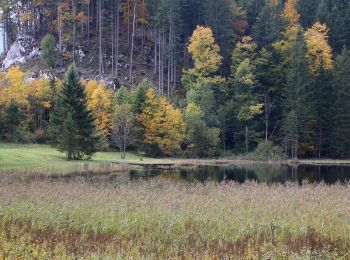
Trail On foot Oberaudorf - Wanderweg 5d - Oberaudorf - Photo
On foot 6.667
Km
GUIDE+

On foot

Easy
Oberaudorf, Bavaria, Landkreis Rosenheim, Germany
6.7 km | 16.6 km-effort
3h 46min
982 m
33 m
No
SityTrail - itinéraires balisés pédestres

• Trail created by Gemeinde Oberaudorf. Bis 2010 weißer Text auf braunem Grund. Ab 2012 nicht mehr ausgeschildert Sym...
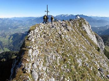
Trail On foot Oberaudorf - Weg Nr. 7 - Brünnstein - Oberaudorf/Hocheck - Photo
On foot 8.639
Km
GUIDE+

On foot

Easy
Oberaudorf, Bavaria, Landkreis Rosenheim, Germany
8.6 km | 18.5 km-effort
4h 12min
936 m
147 m
No
SityTrail - itinéraires balisés pédestres

• Trail created by Bergbahnen Oberaudorf. Symbol: Weiße Schilder mit roter Wegenummer
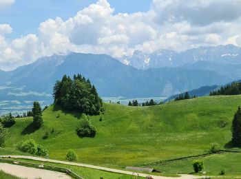
Trail On foot Oberaudorf - Wanderweg 5b - Oberaudorf - Photo
On foot 3.78
Km
GUIDE+

On foot

Easy
Oberaudorf, Bavaria, Landkreis Rosenheim, Germany
3.8 km | 9 km-effort
2h 2min
520 m
5 m
No
SityTrail - itinéraires balisés pédestres

• Trail created by Gemeinde Oberaudorf. Symbol: Weißer Text auf braunem Grund
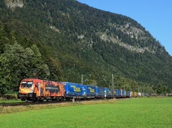
Trail On foot Oberaudorf - Wanderweg 5a - Oberaudorf - Photo
On foot 5.03
Km
GUIDE+

On foot

Easy
Oberaudorf, Bavaria, Landkreis Rosenheim, Germany
5 km | 14.6 km-effort
3h 19min
955 m
11 m
No
SityTrail - itinéraires balisés pédestres

• Trail created by Gemeinde Oberaudorf. Symbol: Bis 2010 weißer Text auf braunem Grund. Ab 2012 nicht mehr ausgeschild...
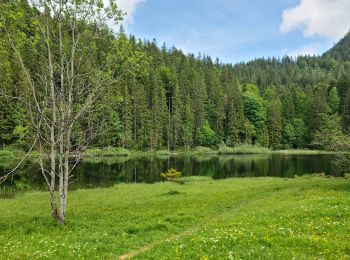
Trail On foot Oberaudorf - Wanderweg 9 - Oberaudorf - Photo
On foot 4.911
Km
GUIDE+

On foot

Easy
Oberaudorf, Bavaria, Landkreis Rosenheim, Germany
4.9 km | 7.7 km-effort
1h 45min
236 m
134 m
No
SityTrail - itinéraires balisés pédestres

• Trail created by Gemeinde Oberaudorf. Symbol: Weißer Text auf braunem Grund

Trail On foot Oberaudorf - Wanderweg 8 - Oberaudorf - Photo
On foot 5.593
Km
GUIDE+

On foot

Easy
Oberaudorf, Bavaria, Landkreis Rosenheim, Germany
5.6 km | 9.8 km-effort
2h 13min
395 m
81 m
No
SityTrail - itinéraires balisés pédestres

• Trail created by Gemeinde Oberaudorf. Symbol: Weißer Text auf braunem Grund

Trail On foot Oberaudorf - Rundweg Niederaudorf - Photo
On foot 3.42
Km
GUIDE+

On foot

Easy
Oberaudorf, Bavaria, Landkreis Rosenheim, Germany
3.4 km | 6.7 km-effort
1h 31min
245 m
248 m
No
SityTrail - itinéraires balisés pédestres

Trail On foot Oberaudorf - Audorfer Rundweg - Photo
On foot 9.363
Km
GUIDE+

On foot

Easy
Oberaudorf, Bavaria, Landkreis Rosenheim, Germany
9.4 km | 11.7 km-effort
2h 39min
175 m
171 m
Yes
SityTrail - itinéraires balisés pédestres

• Symbol: Gelbe oder gründe Schilder mit der Aufschrift "Audorfer Rundweg"

Trail On foot Oberaudorf - Rund um Oberaudorf - Photo
On foot 9.363
Km
GUIDE+

On foot

Easy
Oberaudorf, Bavaria, Landkreis Rosenheim, Germany
9.4 km | 11.7 km-effort
2h 39min
174 m
175 m
Yes
SityTrail - itinéraires balisés pédestres

• Trail created by Internationaler Volkssportverband. Symbol: Rote Pfeil mit dem IVV-Logo

Trail On foot Oberaudorf - Audorfer Rundweg (Sommervariante) - Photo
On foot 9.677
Km
GUIDE+

On foot

Easy
Oberaudorf, Bavaria, Landkreis Rosenheim, Germany
9.7 km | 12.9 km-effort
2h 55min
241 m
237 m
Yes
SityTrail - itinéraires balisés pédestres

• Symbol: Blauer Kreis mit weißem Rand und weißer Zahl in der Mitte oder grünes Schild mit weißer Zahl

Trail On foot Oberaudorf - Weg Nr. 4 - Von Bauernhof zu Bauernhof - Oberaudorf/Hocheck - Photo
On foot 4.444
Km
GUIDE+

On foot

Easy
Oberaudorf, Bavaria, Landkreis Rosenheim, Germany
4.4 km | 6.3 km-effort
1h 26min
67 m
360 m
No
SityTrail - itinéraires balisés pédestres

• Trail created by Bergbahnen Oberaudorf. Symbol: Weiße Schilder mit roter Wegenummer

Trail On foot Oberaudorf - Wanderweg 5c - Oberaudorf - Photo
On foot 3.071
Km
GUIDE+

On foot

Easy
Oberaudorf, Bavaria, Landkreis Rosenheim, Germany
3.1 km | 4.8 km-effort
1h 5min
12 m
475 m
No
SityTrail - itinéraires balisés pédestres

• Trail created by Gemeinde Oberaudorf. Symbol: Weißer Text auf braunem Grund

13 trails displayed on 13

FREE GPS app for hiking

Logo SityTrail SityTrail

IGN / Geographical institutes

Download SityTrail from the App Store Download SityTrail from Google Play

Logo SityTrail SityTrail World

The world is yours!

Download SityTrail from the App Store Download SityTrail from Google Play Download SityTrail on Huawei AppGallery

Activities

Close
My subscriptions