Hohe Wart, Landkreis Miltenberg: Best trails, routes and walks

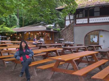
Hohe Wart: Discover the best trails: 2 hiking trails. All these trails, routes and outdoor activities are available in our SityTrail applications for smartphones and tablets.


The best trails (2)

Trail On foot Hohe Wart - Blauer Pilz, Rundwanderweg Hessenthal Hohe Wart - Photo
On foot 3.222
Km
PRO

On foot

Easy
Hohe Wart, Bavaria, Landkreis Miltenberg, Germany
3.2 km | 4.1 km-effort
56min
70 m
66 m
Yes
SityTrail - itinéraires balisés pédestres

• Trail created by Naturpark Spessart. Symbol: BlauerPilz auf weißem Quadrat

Trail On foot Hohe Wart - Spessarträuberland Weg 3 - Photo
On foot 7.217
Km
PRO

On foot

Easy
Hohe Wart, Bavaria, Landkreis Miltenberg, Germany
7.2 km | 10.7 km-effort
2h 25min
218 m
386 m
No
SityTrail - itinéraires balisés pédestres

• Trail created by Spessarträuberland. Symbol: Lachender Räuberkopf - 3

2 trails displayed on 2

FREE GPS app for hiking

Logo SityTrail SityTrail

IGN / Geographical institutes

Download SityTrail from the App Store Download SityTrail from Google Play

Logo SityTrail SityTrail World

The world is yours!

Download SityTrail from the App Store Download SityTrail from Google Play Download SityTrail on Huawei AppGallery

Activities

Close
My subscriptions