Kallmünz, Landkreis Regensburg: Best trails, routes and walks

Kallmünz: Discover the best trails: 2 hiking trails. All these trails, routes and outdoor activities are available in our SityTrail applications for smartphones and tablets.


The best trails (2)

Trail On foot Kallmünz - Jurasteig Bärenloch-Schlaufe - Photo
On foot 10.599
Km
GUIDE+

On foot

Easy
Kallmünz, Bavaria, Landkreis Regensburg, Germany
10.6 km | 14.8 km-effort
3h 22min
323 m
300 m
Yes
SityTrail - itinéraires balisés pédestres

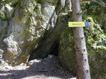
• Trail created by Gebietsgemeinschaft Bayerischer Jura. geprüft (März 2014, by cycling_zno) Symbol: Gelbe Schleife a...

Trail On foot Kallmünz - Städtedreieck-Rundweg 2
On foot 25.01
Km
GUIDE+

On foot

Difficult
Kallmünz, Bavaria, Landkreis Regensburg, Germany
25 km | 32 km-effort
7h 11min
493 m
506 m
Yes
SityTrail - itinéraires balisés pédestres

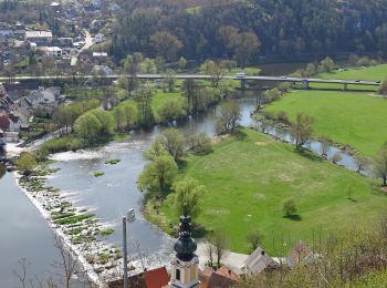
• Trail created by Städte Burglengenfeld/Maxhütte-Haidhof/Teublitz. completed März 2014 by stone005 Symbol: Blaue 2

2 trails displayed on 2

FREE GPS app for hiking

Logo SityTrail SityTrail

IGN / Geographical institutes

Download SityTrail from the App Store Download SityTrail from Google Play

Logo SityTrail SityTrail World

The world is yours!

Download SityTrail from the App Store Download SityTrail from Google Play Download SityTrail on Huawei AppGallery

Activities

Close
My subscriptions