![](/images/other/stat-length.png)
- Trails
- Outdoor
- Germany
- Bavaria
- Landkreis Bamberg
- Rattelsdorf
Rattelsdorf, Landkreis Bamberg: Best trails, routes and walks
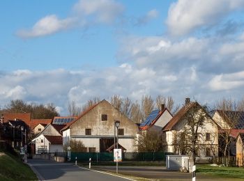
Rattelsdorf: Discover the best trails: 4 hiking trails. All these trails, routes and outdoor activities are available in our SityTrail applications for smartphones and tablets.
The best trails (4)
![Trail On foot Rattelsdorf - Wanderweg A - Photo](https://media.geolcdn.com/t/350/260/29748cfb-e7d8-4732-9426-38a4b7dd5188.jpeg&format=jpg&maxdim=2)
![On foot On foot](https://static1.geolcdn.com/sitytour/trail-icons/100.png)
Km
On foot
![](/images/other/stat-length.png)
![](https://static1.geolcdn.com/siteimages/upload/files/1508320355ic_sort_den_pos_24dp.png)
![](https://static1.geolcdn.com/siteimages/upload/files/1508320355ic_sort_den_neg_24dp.png)
![](https://static1.geolcdn.com/siteimages/upload/files/16400158638029165_repeat_loop_refresh_sync_direction_icon.png)
• Symbol: Rotes A auf weißem Grund
![Trail On foot Rattelsdorf - Wilschwein-Wanderweg Reckendorf - Photo](https://media.geolcdn.com/t/350/260/990c3ea7-9cef-4934-a842-326726d941f4.jpeg&format=jpg&maxdim=2)
![On foot On foot](https://static1.geolcdn.com/sitytour/trail-icons/100.png)
Km
On foot
![](/images/other/stat-length.png)
![](https://static1.geolcdn.com/siteimages/upload/files/1508320355ic_sort_den_pos_24dp.png)
![](https://static1.geolcdn.com/siteimages/upload/files/1508320355ic_sort_den_neg_24dp.png)
![](https://static1.geolcdn.com/siteimages/upload/files/16400158638029165_repeat_loop_refresh_sync_direction_icon.png)
• Trail created by HBV Reckendorf. Symbol: Schwarzes Wildschwein auf gelbem Grund
![Trail On foot Rattelsdorf - Fasan-Wanderweg Mürsbach - Photo](https://media.geolcdn.com/t/350/260/8065cc6f-d83d-4677-807f-14717606e939.jpeg&format=jpg&maxdim=2)
![On foot On foot](https://static1.geolcdn.com/sitytour/trail-icons/100.png)
Km
On foot
![](/images/other/stat-length.png)
![](https://static1.geolcdn.com/siteimages/upload/files/1508320355ic_sort_den_pos_24dp.png)
![](https://static1.geolcdn.com/siteimages/upload/files/1508320355ic_sort_den_neg_24dp.png)
![](https://static1.geolcdn.com/siteimages/upload/files/16400158638029165_repeat_loop_refresh_sync_direction_icon.png)
• Symbol: Schwarzer Fasan auf gelbem Grund
![Trail On foot Rattelsdorf - Dachs-Wanderweg Mürsbach - Photo](https://media.geolcdn.com/t/350/260/8065cc6f-d83d-4677-807f-14717606e939.jpeg&format=jpg&maxdim=2)
![On foot On foot](https://static1.geolcdn.com/sitytour/trail-icons/100.png)
Km
On foot
![](/images/other/stat-length.png)
![](https://static1.geolcdn.com/siteimages/upload/files/1508320355ic_sort_den_pos_24dp.png)
![](https://static1.geolcdn.com/siteimages/upload/files/1508320355ic_sort_den_neg_24dp.png)
![](https://static1.geolcdn.com/siteimages/upload/files/16400158638029165_repeat_loop_refresh_sync_direction_icon.png)
• Ausschilderung fehlt im Berreich Trailsdorf teilweise Symbol: Schwarzer Dachs auf gelbem Grund
4 trails displayed on 4
FREE GPS app for hiking