
- Trails
- Outdoor
- Switzerland
- Ticino
- Distretto di Lugano
Distretto di Lugano, Ticino: Best trails, routes and walks
Distretto di Lugano: Discover the best trails: 36 hiking trails and 8 bike and mountain-bike routes. All these trails, routes and outdoor activities are available in our SityTrail applications for smartphones and tablets.
The best trails (57)
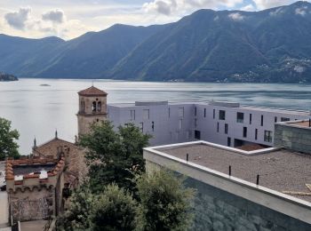
Km
Walking


Km
On foot


• Monte Ceneri - Alpe Foppa Symbol: bianco-rosso-bianco
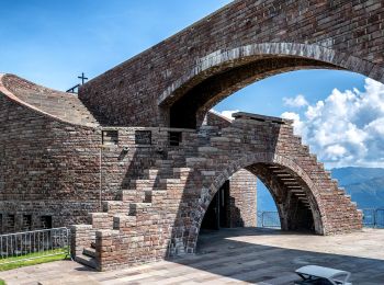
Km
On foot


• Alpe Foppa - Piano di Mora Symbol: bianco-rosso-bianco
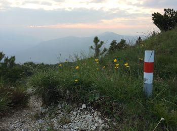
Km
On foot


• Symbol: front view of a bovine head, on a green backgroung, with black text "Cattle Trail"
Km
On foot


• Lunghezza totale del percorso: Km 16,500Tempo di percorrenza (andata): h 6:30Tempo di percorrenza (ritorno): h 6:10Di...
Km
On foot


• Giro/Tour Monte Caslano Symbol: gelber Diamant
Km
On foot


• Melide-Vico Morcote Symbol: weiss-rot-weiss
Km
On foot


• Carona-Alpe Vicania Symbol: weiss-rot-weiss
Km
On foot


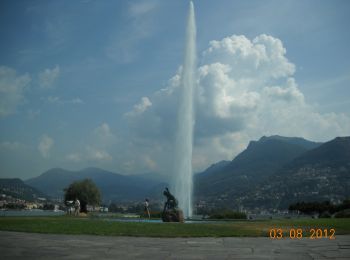
• Paradiso-San Salvatore Symbol: weiss-rot-weiss
Km
On foot


• Tesserete-Comano Symbol: weiss-rot-weiss
Km
On foot


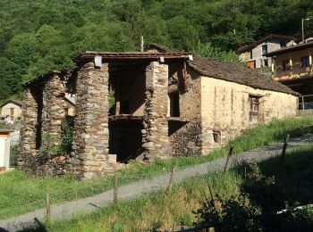
• Isone-Gola di Lago Symbol: weiss-rot-weiss

Km
On foot


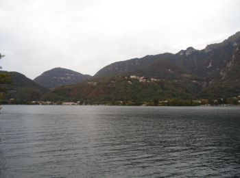
• Monte Ceneri - Monti di Spina di Sopra Symbol: bianco-rosso-bianco
Km
On foot


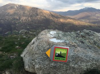
Km
On foot


• Condra-Tesserete Symbol: weiss-rot-weiss

Km
On foot


• Gola di Lago-Condra Symbol: weiss-rot-weiss

Km
Other activity


•

Km
Other activity


•

Km
Other activity


•

Km
Walking


•

Km
Walking


•
20 trails displayed on 57
FREE GPS app for hiking


 SityTrail


