


34 km | 38 km-effort
District de la Broye-Vully: Discover the best trails: 17 hiking trails and 9 bike and mountain-bike routes. All these trails, routes and outdoor activities are available in our SityTrail applications for smartphones and tablets.
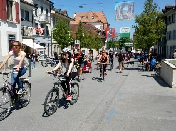
Cycle


• Ce circuit est réservé à la mobilité douce 1 fois par année.
On foot
• Symbol: gelber Diamant
On foot
• Symbol: gelber Diamant
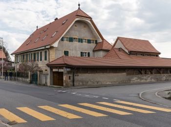
Walking
• De Granges Coumin Surpierre et Villeneuve
Cycle
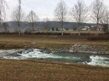
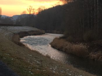
• Tout au long de la Broye

Cycle
• Tout au long de la Broye
Walking
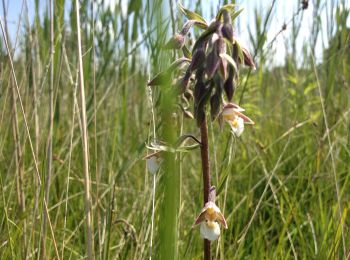
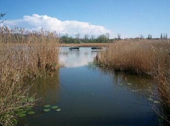
• Réserve naturelle au bord du lac de Neuchâtel.
Road bike
Cycle
• Sur la rive droite de la Broye puis passerelle Anne-Marie Brit Ménières Sassel et Granges

Cycle
• Sur la rive droite de la Broye puis passerelle Anne-Marie Brit Ménières Sassel et Granges

Walking
•
Walking
Walking
Walking
Walking
Walking

Walking
Walking

Other activity
•
Other activity
•
20 trails displayed on 38
FREE GPS app for hiking
 SityTrail
IGN / Geographical institutes
SityTrail World
The world is yours!