
- Trails
- Outdoor
- Switzerland
- Grisons
- Region Engiadina Bassa/Val Müstair
Region Engiadina Bassa/Val Müstair, Grisons: Best trails, routes and walks
Region Engiadina Bassa/Val Müstair: Discover the best trails: 61 hiking trails and 6 bike and mountain-bike routes. All these trails, routes and outdoor activities are available in our SityTrail applications for smartphones and tablets.
The best trails (113)

Km
Other activity


•
Km
On foot


• Griosch - Fimberpass Symbol: weiss-rot-weiss
Km
On foot


• Martina - Alp Tea Symbol: weiss-rot-weiss
Km
On foot


• Symbol: weiss-rot-weiss
Km
On foot


• Chaposch - Gurlaina Symbol: gelber Diamant
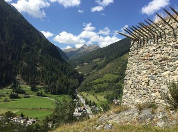
Km
On foot


• Susch - Lavin Symbol: gelber Diamant
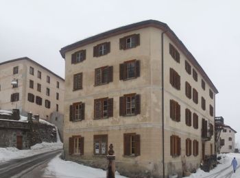
Km
On foot


• Lavin - Sur En Symbol: gelber Diamant
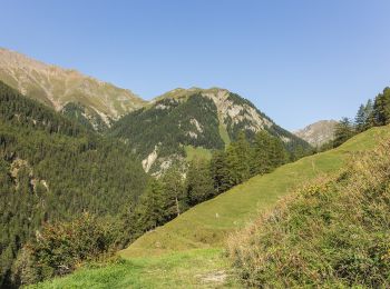
Km
On foot


• Vna - Piz Arina Symbol: weiss-rot-weiss
Km
On foot


• Griosch - Furcla Maisas Symbol: weiss-rot-weiss
Km
On foot


• Symbol: weiss-rot-weiss
Km
On foot


• Symbol: weiss-rot-weiss
Km
On foot


• Trail created by BAW Bündner Wanderwege. Symbol: weiss-rot-weiss

Km
On foot


• Trail created by BAW Bündner Wanderwege. Symbol: weiss-blau-weiss
Km
On foot


• Trail created by BAW Bündner Wanderwege. Symbol: weiss-rot-weiss
Km
On foot


• Trail created by BAW Bündner Wanderwege. There are two parallel routes marked between Alp Astras and Plan d'Immez. ...

Km
On foot


• Trail created by BAW Bündner Wanderwege. There are two parallel routes marked between Alp Astras and Plan d'Immez. ...

Km
On foot


• Symbol: weiss-rot-weiss
Km
On foot


• Symbol: weiss-rot-weiss
Km
On foot


• Trail created by BAW - Bündner Wanderwege. Symbol: weiss-rot-weiss
Km
On foot


• Trail created by Bündner Wanderwege. Symbol: weiss-rot-weiss
20 trails displayed on 113
FREE GPS app for hiking


 SityTrail


