


11.5 km | 19.5 km-effort
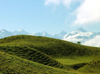
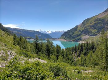
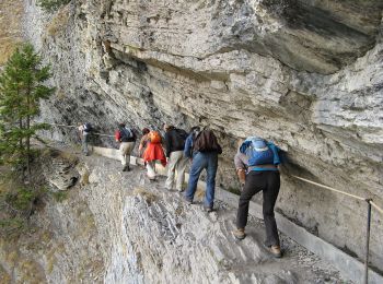
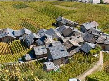
Sierre: Discover the best trails: 198 hiking trails and 24 bike and mountain-bike routes. All these trails, routes and outdoor activities are available in our SityTrail applications for smartphones and tablets.
Walking


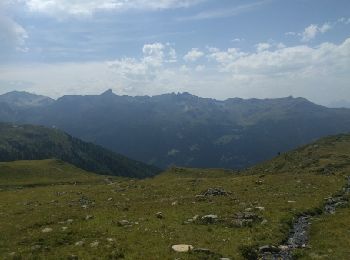
• Start at top of cable train St LucL
Walking
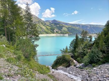
• Start at top of cable car Grimentz Sorebois
Walking
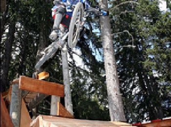
Mountain bike
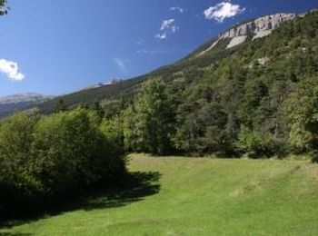
On foot
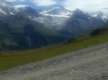
• Montagne du Plan - Trubelstock
On foot
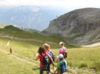
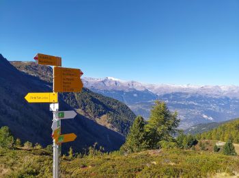
• Chandolin-St Luc
On foot
• Cran - Er de Chermignon (Ancien bisse du Ro)
On foot
• Pra du taillour-Pas de l'ours
On foot
• Er de Chermignon-Pra du Taillour
On foot
• Les Planards-L'Ar du Tsan

On foot
• La Lé-refuge du Bisse
On foot
• Symbol: weiss-rot-weiss
On foot
• Symbol: weiss-rot-weiss

Walking
Walking
Walking
Walking
Walking
Mountain bike
Walking
20 trails displayed on 323
FREE GPS app for hiking
 SityTrail
IGN / Geographical institutes
SityTrail World
The world is yours!