March, Schwyz: Best trails, routes and walks

March: Discover the best trails: 28 hiking trails. All these trails, routes and outdoor activities are available in our SityTrail applications for smartphones and tablets.


The best trails (31)

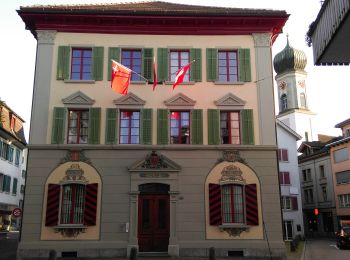
Trail On foot Schübelbach - Schübelbach - Tostel - Photo
On foot 3.286
Km
GUIDE+

On foot

Easy
Schübelbach, Schwyz, March, Switzerland
3.3 km | 9.1 km-effort
2h 4min
583 m
1 m
No
SityTrail - itinéraires balisés pédestres

• Symbol: weiss-rot-weiss

Trail On foot Innerthal - CH-Au - Stock - Photo
On foot 3.254
Km
GUIDE+

On foot

Easy
Innerthal, Schwyz, March, Switzerland
3.3 km | 4.1 km-effort
56min
68 m
64 m
No
SityTrail - itinéraires balisés pédestres

• Trail created by Umweltdepartement Kt Schwyz. Au - Stock Symbol: gelber Diamant
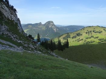
Trail On foot Innerthal - Schwarzenegghöchi - Innerthal - Photo
On foot 3.939
Km
GUIDE+

On foot

Easy
Innerthal, Schwyz, March, Switzerland
3.9 km | 5.5 km-effort
1h 15min
4 m
469 m
No
SityTrail - itinéraires balisés pédestres

• Trail created by Umweltdepartement Kt Schwyz. Symbol: gelber Diamant
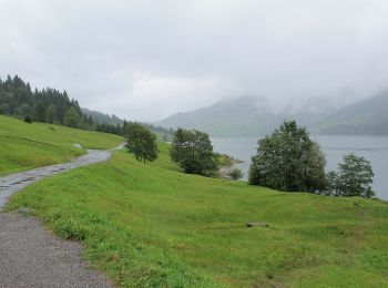
Trail On foot Innerthal - Au-Diethelm - Photo
On foot 4.332
Km
GUIDE+

On foot

Easy
Innerthal, Schwyz, March, Switzerland
4.3 km | 15.4 km-effort
3h 30min
1109 m
1 m
No
SityTrail - itinéraires balisés pédestres

• Au-Diethelm Symbol: rot weiss rot

Trail On foot Innerthal - Innerthal - Hinter Bruch - Photo
On foot 5.556
Km
GUIDE+

On foot

Easy
Innerthal, Schwyz, March, Switzerland
5.6 km | 7 km-effort
1h 35min
114 m
83 m
No
SityTrail - itinéraires balisés pédestres

• Trail created by Umweltdepartement Kt Schwyz. Innerthal - Hinter Bruch Symbol: gelber Diamant

Trail On foot Galgenen - Staldenhöhe - Sonne (Vorderthal) - Photo
On foot 4.031
Km
GUIDE+

On foot

Easy
Galgenen, Schwyz, March, Switzerland
4 km | 5.5 km-effort
1h 15min
109 m
124 m
No
SityTrail - itinéraires balisés pédestres

• Trail created by Umweltdepartement Kt Schwyz. Staldenhöhe - Sonne (Vorderthal) Symbol: gelber Diamant
Trail On foot Galgenen - Mosen - Grabenegg - Photo
On foot 3.185
Km
GUIDE+

On foot

Easy
Galgenen, Schwyz, March, Switzerland
3.2 km | 7.4 km-effort
1h 40min
417 m
6 m
No
SityTrail - itinéraires balisés pédestres

• Trail created by Umweltdepartement Kt Schwyz. Mosen - Grabenegg Symbol: gelber Diamant
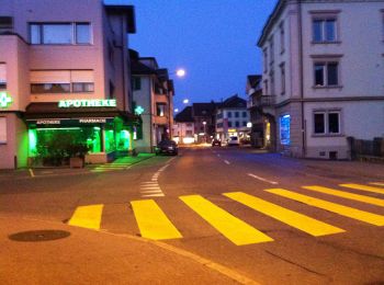
Trail On foot Schübelbach - Siebnen - Steinegg - Photo
On foot 3.702
Km
GUIDE+

On foot

Easy
Schübelbach, Schwyz, March, Switzerland
3.7 km | 4.1 km-effort
55min
31 m
25 m
No
SityTrail - itinéraires balisés pédestres

• Trail created by Umweltdepartement Kt Schwyz. Symbol: gelber Diamant

Trail On foot Innerthal - Rundgang Wägitalersee - Photo
On foot 12.758
Km
GUIDE+

On foot

Easy
Innerthal, Schwyz, March, Switzerland
12.8 km | 16.6 km-effort
3h 46min
286 m
289 m
Yes
SityTrail - itinéraires balisés pédestres

• Symbol: gelber Diamant

Trail On foot Lachen - Lachen - Bräggerhof - Photo
On foot 3.546
Km
GUIDE+

On foot

Easy
Lachen, Schwyz, March, Switzerland
3.5 km | 7.5 km-effort
1h 42min
397 m
1 m
No
SityTrail - itinéraires balisés pédestres

• Trail created by Umweltdepartement Kt Schwyz. Lachen - Bräggerhof Symbol: gelber Diamant
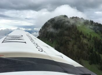
Trail On foot Innerthal - Staumauer - Gross Aubrig? - fixme - Photo
On foot 4.667
Km
GUIDE+

On foot

Easy
Innerthal, Schwyz, March, Switzerland
4.7 km | 12.2 km-effort
2h 46min
643 m
330 m
No
SityTrail - itinéraires balisés pédestres

Trail On foot Vorderthal - Sonne - Ramseli - Photo
On foot 6.872
Km
GUIDE+

On foot

Easy
Vorderthal, Schwyz, March, Switzerland
6.9 km | 11.4 km-effort
2h 34min
428 m
62 m
No
SityTrail - itinéraires balisés pédestres

• Symbol: gelber Diamant

Trail On foot Vorderthal - Vorderthal - Rötstock - Photo
On foot 4.279
Km
GUIDE+

On foot

Easy
Vorderthal, Schwyz, March, Switzerland
4.3 km | 8.4 km-effort
1h 54min
413 m
0 m
No
SityTrail - itinéraires balisés pédestres

• Trail created by Umweltdepartement Kt Schwyz. Symbol: gelber Diamant
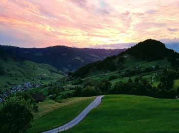
Trail On foot Vorderthal - Vorderthal - Stuckliwald - Photo
On foot 5.588
Km
GUIDE+

On foot

Easy
Vorderthal, Schwyz, March, Switzerland
5.6 km | 11.2 km-effort
2h 32min
559 m
0 m
No
SityTrail - itinéraires balisés pédestres

• Trail created by Umweltdepartement Kt Schwyz. Symbol: gelber Diamant

Trail On foot Altendorf - Bräggerhof - Rindereggli - Photo
On foot 4.406
Km
GUIDE+

On foot

Easy
Altendorf, Schwyz, March, Switzerland
4.4 km | 8.1 km-effort
1h 50min
371 m
5 m
No
SityTrail - itinéraires balisés pédestres

• Trail created by Umweltdepartement Kt Schwyz. Bräggerhof - Rindereggli Symbol: gelber Diamant
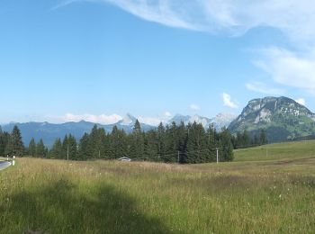
Trail On foot Vorderthal - Tuggner Hüttli - Sattelegg - Photo
On foot 4.688
Km
GUIDE+

On foot

Easy
Vorderthal, Schwyz, March, Switzerland
4.7 km | 7.1 km-effort
1h 36min
199 m
119 m
No
SityTrail - itinéraires balisés pédestres

• Trail created by Umweltdepartement Kt Schwyz. Tuggner Hüttli - Sattelegg Symbol: gelber Diamant

Trail On foot Altendorf - Bräggerhof - Gueteregg - Photo
On foot 4.432
Km
GUIDE+

On foot

Easy
Altendorf, Schwyz, March, Switzerland
4.4 km | 9 km-effort
2h 2min
452 m
4 m
No
SityTrail - itinéraires balisés pédestres

• Trail created by Umweltdepartement Kt Schwyz. Bräggerhof - Gueteregg Symbol: gelber Diamant

Trail On foot Galgenen - Wiselegg - Gueteregg - Photo
On foot 3.363
Km
GUIDE+

On foot

Easy
Galgenen, Schwyz, March, Switzerland
3.4 km | 6.4 km-effort
1h 27min
296 m
18 m
No
SityTrail - itinéraires balisés pédestres

• Trail created by Umweltdepartement Kt Schwyz. Wiselegg - Gueteregg Symbol: gelber Diamant

Trail On foot Schübelbach - Schwändelen- Gross Feldrederten - Photo
On foot 5.502
Km
GUIDE+

On foot

Easy
Schübelbach, Schwyz, March, Switzerland
5.5 km | 10.2 km-effort
2h 19min
470 m
6 m
No
SityTrail - itinéraires balisés pédestres

• Trail created by Umweltdepartement Kt Schwyz. Symbol: gelber Diamant

Trail On foot Schübelbach - Stockberg - Eisenburg - Steiler Auf/Abstieg - Photo
On foot 3.111
Km
GUIDE+

On foot

Easy
Schübelbach, Schwyz, March, Switzerland
3.1 km | 4.9 km-effort
1h 7min
3 m
539 m
No
SityTrail - itinéraires balisés pédestres

• Symbol: rot-weiss-rot

20 trails displayed on 31

FREE GPS app for hiking

Logo SityTrail SityTrail

IGN / Geographical institutes

Download SityTrail from the App Store Download SityTrail from Google Play

Logo SityTrail SityTrail World

The world is yours!

Download SityTrail from the App Store Download SityTrail from Google Play Download SityTrail on Huawei AppGallery

Activities

Nearby regions

Close
My subscriptions