


3.9 km | 6.5 km-effort
Obwalden: Discover the best trails: 34 hiking trails and 2 bike and mountain-bike routes. All these trails, routes and outdoor activities are available in our SityTrail applications for smartphones and tablets.

On foot


• Hundschuft Fürenalp - Wasserfall Symbol: weiss-rot-weiss

On foot
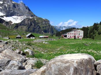
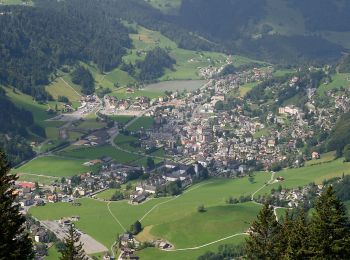
• Sarnen - Giglen/Wilen
On foot
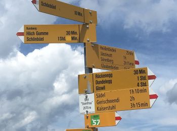
• Dundelegg - Turren Symbol: weiss-rot-weiss
On foot
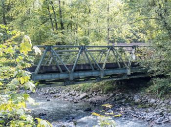
• Walenpfad
On foot
• Grafenort - Obermatt
On foot
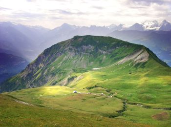
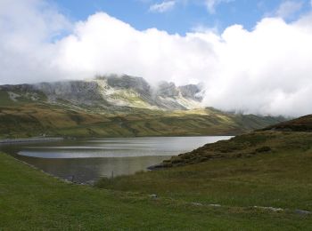
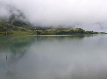
• Melchsee-Frutt - Tannenalp
On foot
• Trail created by Wanderland Schweiz.
On foot
• Trail created by Wanderland Schweiz.

On foot
• Eienwäldli - Herrenrütiboden Symbol: gelber Diamant

On foot
• St Jakob - Ächerli Symbol: weiss-rot-weiss
On foot
• Holzkapelle - Ober Zieblen Symbol: weiss-rot-weiss
On foot
On foot
On foot
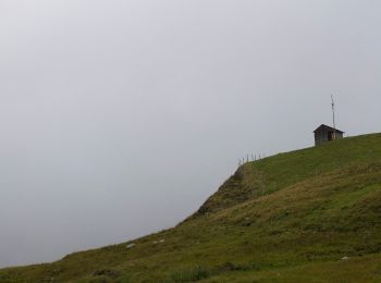
• Mittlist Arni - Arnihaaggen Symbol: weiss-rot-weiss

On foot
• Trail created by OWW. Symbol: gelber Diamant
On foot
• Giswil - Giglen/Wilen
Other activity
•
Other activity
•

Walking
•
Walking
•
20 trails displayed on 60
FREE GPS app for hiking
 SityTrail
IGN / Geographical institutes
SityTrail World
The world is yours!