
- Trails
- Outdoor
- Switzerland
- Zurich
- Bezirk Dietikon
Bezirk Dietikon, Zurich: Best trails, routes and walks
Bezirk Dietikon: Discover the best trails: 20 hiking trails. All these trails, routes and outdoor activities are available in our SityTrail applications for smartphones and tablets.
The best trails (20)

Km
On foot


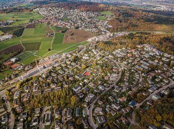
• Dietikon - Oetwil a. d. L. Symbol: gelbe Raute
Km
On foot


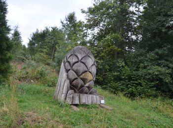
• Symbol: gelbe Raute
Km
On foot


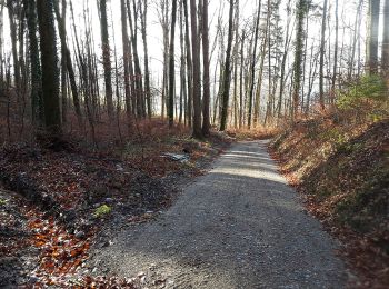
• Symbol: gelbe Raute
Km
On foot


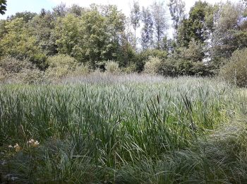
• Trail created by Zürcher Wanderwege ZAW. Symbol: gelber Diamant
Km
On foot


• Symbol: gelbe Raute

Km
On foot


• Symbol: gelbe Raute

Km
On foot


• Symbol: gelbe Raute
Km
On foot


• Symbol: gelbe Raute

Km
On foot


• Symbol: gelbe Raute

Km
On foot


• Symbol: gelbe Raute
Km
On foot


• Sellenbüren - Birmensdorf Symbol: gelber Rhombus
Km
On foot


• Bonstetten Station - Aesch Symbol: gelber Rhombus
Km
On foot


• Aesch - Bemer Symbol: gelber Rhombus
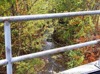
Km
On foot


• Birmensdorf - Aesch Symbol: gelber Diamant

Km
On foot


• Trail created by Zürcher Wanderwege. Birmensdorf - Unter Reppischtal Symbol: gelber Diamant
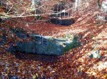
Km
On foot


• Symbol: gelbe Raute

Km
On foot


• Gubrist - Altberg Symbol: gelber Diamant (waagrecht)

Km
On foot


• Symbol: gelbe Raute
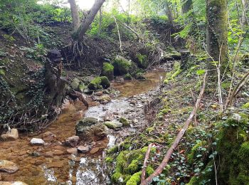
Km
On foot


• Ober Urdorf - Birmensdorf Bahnhof Symbol: gelbe Raute

Km
On foot


• Albisrieden - Uitikon Symbol: gelbe Raute
20 trails displayed on 20
FREE GPS app for hiking


 SityTrail


