
- Trails
- Outdoor
- Switzerland
- Solothurn
- Bezirk Olten
Bezirk Olten, Solothurn: Best trails, routes and walks
Bezirk Olten: Discover the best trails: 16 hiking trails. All these trails, routes and outdoor activities are available in our SityTrail applications for smartphones and tablets.
The best trails (17)

Km
On foot


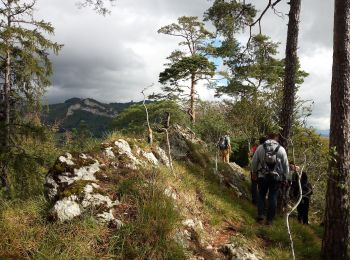
• Trail created by Forstbetrieb Unterer Hauenstein. Website: https://www.forst-hauenstein.ch/walderlebnispfad/
Km
On foot


• Symbol: gelber Diamant

Km
On foot


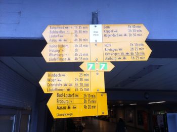
• Wangen bei Olten - Rumpel Symbol: gelbe Raute
Km
On foot


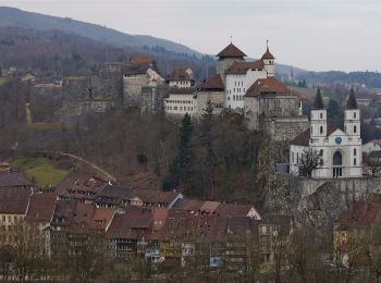
• Wangen bei Olten - Olten Symbol: gelber Diamant (waagrecht)
Km
On foot


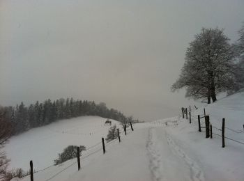
• Wangen bei Olten - Born Symbol: gelbe Raute
Km
On foot


• Rickenbach - Allerheiligenberg Symbol: gelber Diamant (waagrecht)

Km
On foot


• Hägendorf - Born Symbol: gelbe Raute

Km
On foot


• Cartaseta - Stauwehr Symbol: gelbe Raute
Km
On foot


• Boningen - Fulenbach Symbol: gelber Diamant

Km
On foot


• Olten - Rüti Symbol: gelbe Raute

Km
On foot


• Hägendorf - Allerheiligenberg Symbol: gelber Diamant (waagrecht)

Km
On foot


• Rickenbach - Schlössli Symbol: gelber Diamant (waagrecht)

Km
On foot


• Kölliker Tann - Chessel - Engelberg Symbol: gelbe Raute

Km
On foot


• Schlössli - Rumpelhöchi Symbol: gelber Diamant (waagrecht)

Km
On foot


• Eich - Rüti Symbol: gelbe Raute

Km
Walking


•

Km
Other activity


•
17 trails displayed on 17
FREE GPS app for hiking


 SityTrail


