


12.1 km | 13 km-effort
Rumes: Discover the best trails: 6 hiking trails, 2 bike and mountain-bike routes and 3 equestrian circuits. All these trails, routes and outdoor activities are available in our SityTrail applications for smartphones and tablets.
Equestrian


• Trail created by Wallonie Picarde (Antenne Tournai) . This circuit is only available in French and in Dutch. Plea...
Equestrian
• Trail created by Wallonie Picarde (Antenne Tournai) . This circuit is only available in French and in Dutch. Plea...
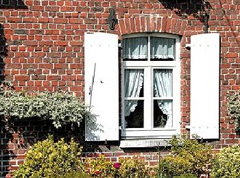
On foot
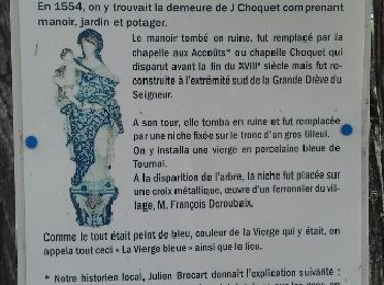
• Trail created by Wallonie Picarde (Antenne Tournai) . This circuit is only available in French and in Dutch. Plea...
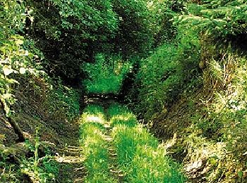
Mountain bike
• Trail created by Wallonie Picarde (Antenne Tournai) . This circuit is only available in French and in Dutch. Plea...

Equestrian
• mooie lange galops maar ook lange staps , goed te doen bij regenweer
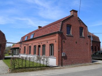
Walking

On foot

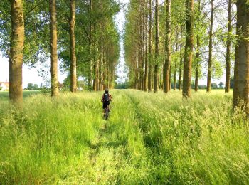
Walking
• balade autour de Rumes Marche caritative de soutien
On foot
On foot

 10.813
sport
Other activity
12 trails displayed on 12
FREE GPS app for hiking
 SityTrail
IGN / Geographical institutes
SityTrail World
The world is yours!