


13.3 km | 15.6 km-effort
Baelen: Discover the best trails: 235 hiking trails, 54 bike and mountain-bike routes and 3 equestrian circuits. All these trails, routes and outdoor activities are available in our SityTrail applications for smartphones and tablets.

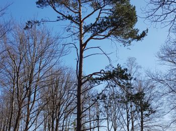
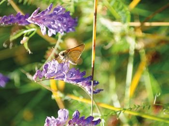
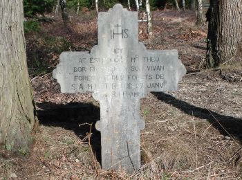
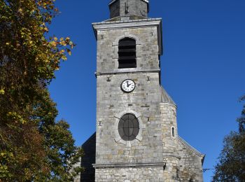
Walking


Walking
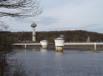
Walking

Walking
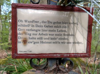
Walking
Walking
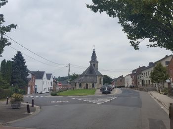
Walking
Walking
Walking
Walking
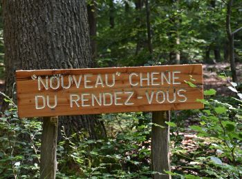
On foot
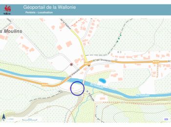
• Trail created by DNF.
On foot
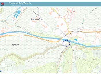
• Trail created by DNF. Symbol: Losange rouge - red diamond
On foot
• Trail created by DNF. Symbol: Rectangle rouge - red rectangle
On foot
• Trail created by DNF. Symbol: gelbe Raute - yellow diamond
On foot
• Trail created by DNF. Symbol: grünes Kreuz green Cross
On foot
• Symbol: green rectangle
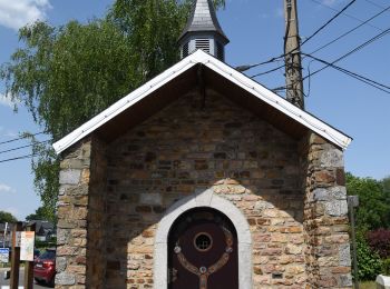
Walking
Walking
Walking
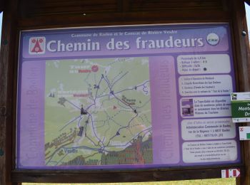
Walking
20 trails displayed on 304
FREE GPS app for hiking
 SityTrail
IGN / Geographical institutes
SityTrail World
The world is yours!