


5.3 km | 7 km-effort
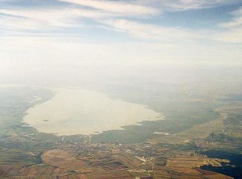
Bezirk Neusiedl am See: Discover the best trails: 6 hiking trails. All these trails, routes and outdoor activities are available in our SityTrail applications for smartphones and tablets.
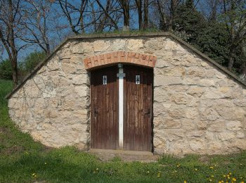
On foot


• Trail created by Via.Carnuntum.
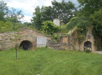
On foot
• Trail created by Tourismusverband Edelstal.
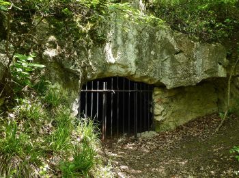
On foot
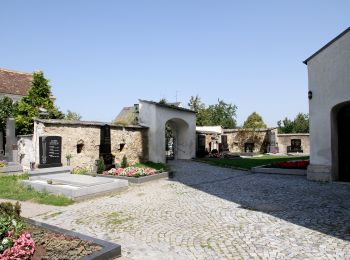
• Trail created by Welterbe Naturpark Neusiedler See Leithagebirge.
On foot
• Trail created by Welterbe Naturpark Neusiedler See Leithagebirge.
On foot
On foot
6 trails displayed on 6
FREE GPS app for hiking
 SityTrail
IGN / Geographical institutes
SityTrail World
The world is yours!