![](/images/other/stat-length.png)
Hernals, Unknown: Best trails, routes and walks
Hernals: Discover the best trails: 4 hiking trails. All these trails, routes and outdoor activities are available in our SityTrail applications for smartphones and tablets.
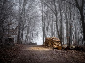
The best trails (4)
![Trail On foot Unknown - Schwarzenbergpark/Allee - Sophienalpe (nördlicher Ast) - Photo](https://media.geolcdn.com/t/350/260/6ae32eae-51fe-43e8-b61f-8bce34d521bf.jpeg&format=jpg&maxdim=2)
![On foot On foot](https://static1.geolcdn.com/sitytour/trail-icons/100.png)
Km
On foot
![](/images/other/stat-length.png)
![](https://static1.geolcdn.com/siteimages/upload/files/1508320355ic_sort_den_pos_24dp.png)
![](https://static1.geolcdn.com/siteimages/upload/files/1508320355ic_sort_den_neg_24dp.png)
![](https://static1.geolcdn.com/siteimages/upload/files/16400158638029165_repeat_loop_refresh_sync_direction_icon.png)
• Trail created by ÖTK-Klosterneuburg. Symbol: weiss-blau-weiss Website: https://www.oetk-klosterneuburg.at/index.ph...
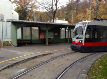
![Trail On foot Unknown - Stadtwanderweg 3 - Hameau - Photo](https://media.geolcdn.com/t/350/260/dff75f46-9fb3-4c9e-8920-e7c7116c9bdc.jpeg&format=jpg&maxdim=2)
![On foot On foot](https://static1.geolcdn.com/sitytour/trail-icons/100.png)
Km
On foot
![](/images/other/stat-length.png)
![](https://static1.geolcdn.com/siteimages/upload/files/1508320355ic_sort_den_pos_24dp.png)
![](https://static1.geolcdn.com/siteimages/upload/files/1508320355ic_sort_den_neg_24dp.png)
![](https://static1.geolcdn.com/siteimages/upload/files/16400158638029165_repeat_loop_refresh_sync_direction_icon.png)
• Trail created by Stadt Wien (Forstamt). im Uhrzeigersinn beschildert Website: https://www.wien.gv.at/umwelt/wald/...
![Trail Walking Unknown - Vienne - Photo](https://media.geolcdn.com/t/350/260/5292301c-7a10-4bbe-9acc-6edb77085108.jpg&format=jpg&maxdim=2)
![Walking Walking](https://static1.geolcdn.com/sitytour/trail-icons/101.png)
Km
Walking
![](/images/other/stat-length.png)
![](https://static1.geolcdn.com/siteimages/upload/files/1508320355ic_sort_den_pos_24dp.png)
![](https://static1.geolcdn.com/siteimages/upload/files/1508320355ic_sort_den_neg_24dp.png)
![](https://static1.geolcdn.com/siteimages/upload/files/16400158638029165_repeat_loop_refresh_sync_direction_icon.png)
![Trail Walking Unknown - marche aléatoire sous l'orage - Photo](https://media.geolcdn.com/t/350/260/ee6be858-bbae-4fe7-ace4-6844c47f5b9a.jpg&format=jpg&maxdim=2)
![Walking Walking](https://static1.geolcdn.com/sitytour/trail-icons/101.png)
Km
Walking
![](/images/other/stat-length.png)
![](https://static1.geolcdn.com/siteimages/upload/files/1508320355ic_sort_den_pos_24dp.png)
![](https://static1.geolcdn.com/siteimages/upload/files/1508320355ic_sort_den_neg_24dp.png)
![](https://static1.geolcdn.com/siteimages/upload/files/16400158638029165_repeat_loop_refresh_sync_direction_icon.png)
4 trails displayed on 4
FREE GPS app for hiking