
- Trails
- Outdoor
- Austria
- Upper Austria
- Bezirk Kirchdorf
Bezirk Kirchdorf, Upper Austria: Best trails, routes and walks
Bezirk Kirchdorf: Discover the best trails: 34 hiking trails. All these trails, routes and outdoor activities are available in our SityTrail applications for smartphones and tablets.
The best trails (34)
Km
On foot


• Trail created by Gemeinde Ried im Traunkreis. Symbol: türkiser Pfeil

Km
On foot


• Trail created by Gemeinde Ried im Traunkreis. Symbol: roter Pfeil
Km
On foot


• Trail created by Gemeinde Ried im Traunkreis. Symbol: grüner Pfeil
Km
On foot


• Trail created by Gemeinde Ried im Traunkreis. Symbol: gelber Pfeil
Km
On foot


• Trail created by Tourismusverband Pyhrn-Priel.
Km
On foot


• Trail created by Alpenverein Steyr. Symbol: rot-weiss-rot
Km
On foot


• Trail created by Tourismusverband Nationalpark Region Steyrtal.
Km
On foot


• Trail created by Tourismusverband Nationalpark Region Steyrtal.
Km
On foot


• Trail created by Tourismusverband Nationalpark Region Steyrtal.
Km
On foot


• Trail created by Tourismusverband Oberes Kremstal.
Km
On foot


• Trail created by Tourismusverband Oberes Kremstal.
Km
On foot


• Trail created by Gemeinde Oberschlierbach. Symbol: weiss-rot-weiss K71 oder gelber Hiweispfeil mit schwarzer Aufschr...
Km
On foot


• Trail created by Gemeinde Oberschlierbach. Symbol: rot-weiss-rot K72 oder gelber Hiweispfeil mit Schwarzer Aufschrif...
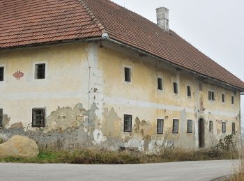
Km
On foot


• Trail created by Kremstal-Gemeinden.
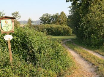
Km
On foot


• Trail created by Kremstal-Gemeinden.
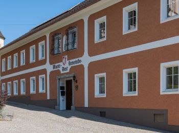
Km
On foot


• Trail created by Kremstal-Gemeinden.
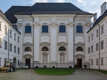
Km
On foot


• Trail created by Kremstal-Gemeiden. Symbol: rot-weiß-rot K81 oder gelber Hiweispfeil mit schwarzer Schrift "RW Bauer...
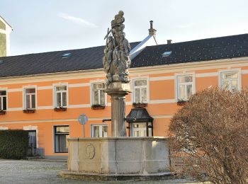
Km
On foot


• Symbol: rot-weiß-rot 19
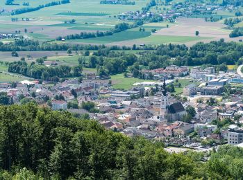
Km
On foot


• Symbol: rot-weiß-rot K85
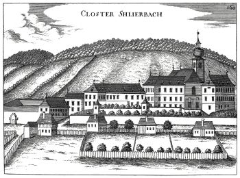
Km
On foot


• Trail created by Österreichischer Alpenverein. Symbol: rot-weiß-rot K82
20 trails displayed on 34
FREE GPS app for hiking


 SityTrail


