![](/images/other/stat-length.png)
- Trails
- Outdoor
- Austria
- Upper Austria
- Bezirk Rohrbach
- Niederwaldkirchen
Niederwaldkirchen, Bezirk Rohrbach: Best trails, routes and walks
Niederwaldkirchen: Discover the best trails: 4 hiking trails. All these trails, routes and outdoor activities are available in our SityTrail applications for smartphones and tablets.
The best trails (4)
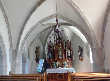
![Trail On foot Niederwaldkirchen - Steinbach-Rundweg - Photo](https://media.geolcdn.com/t/350/260/ea46281a-afb9-4a8b-8d22-88ec5ecbb799.jpeg&format=jpg&maxdim=2)
![On foot On foot](https://static1.geolcdn.com/sitytour/trail-icons/100.png)
Km
On foot
![](/images/other/stat-length.png)
![](https://static1.geolcdn.com/siteimages/upload/files/1508320355ic_sort_den_pos_24dp.png)
![](https://static1.geolcdn.com/siteimages/upload/files/1508320355ic_sort_den_neg_24dp.png)
![](https://static1.geolcdn.com/siteimages/upload/files/16400158638029165_repeat_loop_refresh_sync_direction_icon.png)
• Trail created by Gemeinde Niederwaldkirchen. http://wiki.openstreetmap.org/wiki/WikiProject_Austria/Wanderwege Symb...
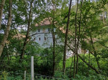
![Trail On foot Niederwaldkirchen - Pesenbach-Hansberg-Runde - Photo](https://media.geolcdn.com/t/350/260/52e65c21-fdcd-4dd7-a9c6-7179717e8d81.jpeg&format=jpg&maxdim=2)
![On foot On foot](https://static1.geolcdn.com/sitytour/trail-icons/100.png)
Km
On foot
![](/images/other/stat-length.png)
![](https://static1.geolcdn.com/siteimages/upload/files/1508320355ic_sort_den_pos_24dp.png)
![](https://static1.geolcdn.com/siteimages/upload/files/1508320355ic_sort_den_neg_24dp.png)
![](https://static1.geolcdn.com/siteimages/upload/files/16400158638029165_repeat_loop_refresh_sync_direction_icon.png)
• Trail created by Gemeinde Niederwaldkirchen. http://wiki.openstreetmap.org/wiki/WikiProject_Austria/Wanderwege Symb...
![Trail On foot Niederwaldkirchen - Mühlenweg Steinbach - Photo](https://media.geolcdn.com/t/350/260/52e65c21-fdcd-4dd7-a9c6-7179717e8d81.jpeg&format=jpg&maxdim=2)
![On foot On foot](https://static1.geolcdn.com/sitytour/trail-icons/100.png)
Km
On foot
![](/images/other/stat-length.png)
![](https://static1.geolcdn.com/siteimages/upload/files/1508320355ic_sort_den_pos_24dp.png)
![](https://static1.geolcdn.com/siteimages/upload/files/1508320355ic_sort_den_neg_24dp.png)
![](https://static1.geolcdn.com/siteimages/upload/files/16400158638029165_repeat_loop_refresh_sync_direction_icon.png)
• Trail created by Gemeinde Niederwaldkirchen. http://wiki.openstreetmap.org/wiki/WikiProject_Austria/Wanderwege Symb...
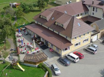
![Trail On foot Niederwaldkirchen - Großer Hopfensteig - Photo](https://media.geolcdn.com/t/350/260/fcaf7a2a-aa00-448f-8013-3dd94a32f19a.jpeg&format=jpg&maxdim=2)
![On foot On foot](https://static1.geolcdn.com/sitytour/trail-icons/100.png)
Km
On foot
![](/images/other/stat-length.png)
![](https://static1.geolcdn.com/siteimages/upload/files/1508320355ic_sort_den_pos_24dp.png)
![](https://static1.geolcdn.com/siteimages/upload/files/1508320355ic_sort_den_neg_24dp.png)
![](https://static1.geolcdn.com/siteimages/upload/files/16400158638029165_repeat_loop_refresh_sync_direction_icon.png)
• Charakteristisch für den Hopfen sind die Gerüstanlagen mit einer Höhe von ca. 7 m, welche das Landschaftsbild im Hans...
4 trails displayed on 4
FREE GPS app for hiking