![](/images/other/stat-length.png)
- Trails
- Outdoor
- Austria
- Upper Austria
- Bezirk Linz-Land
- Leonding
Leonding, Bezirk Linz-Land: Best trails, routes and walks
Leonding: Discover the best trails: 6 hiking trails. All these trails, routes and outdoor activities are available in our SityTrail applications for smartphones and tablets.
The best trails (6)
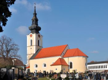
![Trail On foot Leonding - Zaubertalrunde - Photo](https://media.geolcdn.com/t/350/260/362dfadb-f1f7-45fc-9bd6-a2aa5cac1847.jpeg&format=jpg&maxdim=2)
![On foot On foot](https://static1.geolcdn.com/sitytour/trail-icons/100.png)
Km
On foot
![](/images/other/stat-length.png)
![](https://static1.geolcdn.com/siteimages/upload/files/1508320355ic_sort_den_pos_24dp.png)
![](https://static1.geolcdn.com/siteimages/upload/files/1508320355ic_sort_den_neg_24dp.png)
![](https://static1.geolcdn.com/siteimages/upload/files/16400158638029165_repeat_loop_refresh_sync_direction_icon.png)
• Trail created by Leonding. Symbol: weiße Tafel mit gelbem oder schwarzem Pfeil und zwei schwarzem Punkten
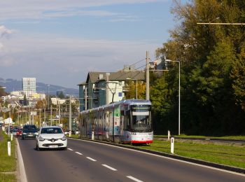
![Trail On foot Leonding - Kürnberg-Wanderweg - Photo](https://media.geolcdn.com/t/350/260/f90b39b8-fab6-4bec-ac38-bb365b0dd04e.jpeg&format=jpg&maxdim=2)
![On foot On foot](https://static1.geolcdn.com/sitytour/trail-icons/100.png)
Km
On foot
![](/images/other/stat-length.png)
![](https://static1.geolcdn.com/siteimages/upload/files/1508320355ic_sort_den_pos_24dp.png)
![](https://static1.geolcdn.com/siteimages/upload/files/1508320355ic_sort_den_neg_24dp.png)
![](https://static1.geolcdn.com/siteimages/upload/files/16400158638029165_repeat_loop_refresh_sync_direction_icon.png)
• Symbol: Grüner Nadelbaum auf weißem Grund
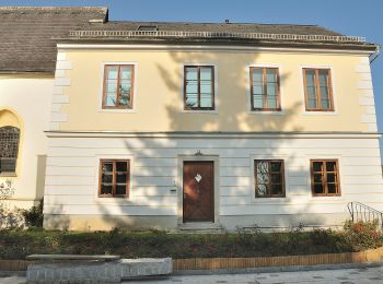
![Trail On foot Leonding - AT-2 - Photo](https://media.geolcdn.com/t/350/260/05202317-a8d4-41a6-8ca1-b2c980b87377.jpeg&format=jpg&maxdim=2)
![On foot On foot](https://static1.geolcdn.com/sitytour/trail-icons/100.png)
Km
On foot
![](/images/other/stat-length.png)
![](https://static1.geolcdn.com/siteimages/upload/files/1508320355ic_sort_den_pos_24dp.png)
![](https://static1.geolcdn.com/siteimages/upload/files/1508320355ic_sort_den_neg_24dp.png)
![](https://static1.geolcdn.com/siteimages/upload/files/16400158638029165_repeat_loop_refresh_sync_direction_icon.png)
• Symbol: rot-weiss-rot 2
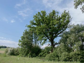
![Trail On foot Leonding - Stadtwanderweg Leonding - Photo](https://media.geolcdn.com/t/350/260/f189d68d-38ea-4941-8054-2e2b8cf0c43d.jpeg&format=jpg&maxdim=2)
![On foot On foot](https://static1.geolcdn.com/sitytour/trail-icons/100.png)
Km
On foot
![](/images/other/stat-length.png)
![](https://static1.geolcdn.com/siteimages/upload/files/1508320355ic_sort_den_pos_24dp.png)
![](https://static1.geolcdn.com/siteimages/upload/files/1508320355ic_sort_den_neg_24dp.png)
![](https://static1.geolcdn.com/siteimages/upload/files/16400158638029165_repeat_loop_refresh_sync_direction_icon.png)
• Trail created by Leonding. Website: https://www.leonding.at/freizeit/erholung/kulturwanderwege/stadtwanderweg/
![Trail On foot Leonding - Kürnbergrunde - Photo](https://media.geolcdn.com/t/350/260/04a4a75c-6b8b-4c91-8f6b-0acbe9b667e6.jpeg&format=jpg&maxdim=2)
![On foot On foot](https://static1.geolcdn.com/sitytour/trail-icons/100.png)
Km
On foot
![](/images/other/stat-length.png)
![](https://static1.geolcdn.com/siteimages/upload/files/1508320355ic_sort_den_pos_24dp.png)
![](https://static1.geolcdn.com/siteimages/upload/files/1508320355ic_sort_den_neg_24dp.png)
![](https://static1.geolcdn.com/siteimages/upload/files/16400158638029165_repeat_loop_refresh_sync_direction_icon.png)
• Trail created by Leonding.
![Trail On foot Leonding - Staudacherrunde - Photo](https://media.geolcdn.com/t/350/260/b885cb65-5f79-4b28-b4a0-37349ff05ef9.jpeg&format=jpg&maxdim=2)
![On foot On foot](https://static1.geolcdn.com/sitytour/trail-icons/100.png)
Km
On foot
![](/images/other/stat-length.png)
![](https://static1.geolcdn.com/siteimages/upload/files/1508320355ic_sort_den_pos_24dp.png)
![](https://static1.geolcdn.com/siteimages/upload/files/1508320355ic_sort_den_neg_24dp.png)
![](https://static1.geolcdn.com/siteimages/upload/files/16400158638029165_repeat_loop_refresh_sync_direction_icon.png)
• Trail created by Leonding.
6 trails displayed on 6
FREE GPS app for hiking