


10.6 km | 15.4 km-effort
Windhaag bei Perg: Discover the best trails: 5 hiking trails. All these trails, routes and outdoor activities are available in our SityTrail applications for smartphones and tablets.

On foot


• Symbol: gelber Hinweispfeil mit dem Text "6 Falkensteiweg"
On foot
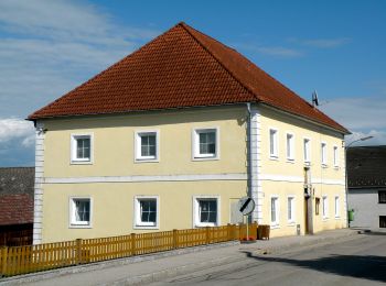
• Trail created by Gemeinde Windhaag bei Perg.
On foot
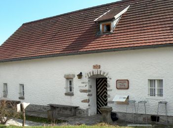
• Trail created by Gemeinde Windhaag bei Perg.
On foot
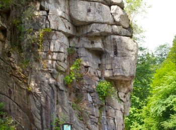
• Trail created by Gemeinde Windhaag bei Perg.
On foot
• Symbol: gelber Buchstabe N auf schwarzem Kreis auf gelbem Grund, daneben manchmal die Bezeichnung Naarntalweg
5 trails displayed on 5
FREE GPS app for hiking
 SityTrail
IGN / Geographical institutes
SityTrail World
The world is yours!