


10 km | 16.3 km-effort
Grafendorf bei Hartberg: Discover the best trails: 9 hiking trails. All these trails, routes and outdoor activities are available in our SityTrail applications for smartphones and tablets.
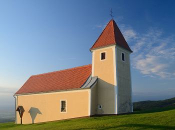
On foot


• Trail created by Gemeinde Grafendorf.
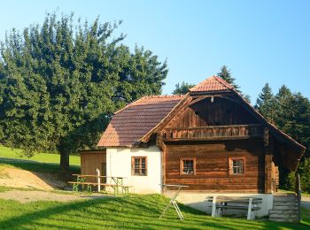
On foot
• Trail created by Gemeinde Grafendorf.
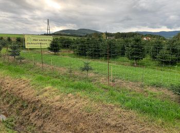
On foot
• Trail created by Gemeinde Grafendorf.
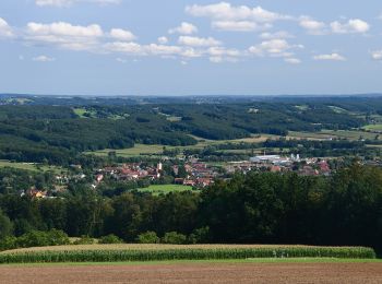
On foot
• Trail created by Steirische Berg und Naturwacht Orsteinsatzstelle Hartberg. Symbol: blau-weiss-blau 8a
On foot
• Trail created by Steirische Berg und Naturwacht Orsteinsatzstelle Hartberg. Symbol: rot-weiss-rot 15
On foot
• Trail created by ?. https://wiki.openstreetmap.org/wiki/WikiProject_Austria/Wanderwege Symbol: Gelber Kreis, grünes...
On foot
• Trail created by ?. https://wiki.openstreetmap.org/wiki/WikiProject_Austria/Wanderwege Symbol: Gelber Kreis, grünes...
On foot
• Trail created by ?. https://wiki.openstreetmap.org/wiki/WikiProject_Austria/Wanderwege Symbol: Gelber Kreis, grünes...

On foot
• Trail created by Gemeinde Grafendorf.
9 trails displayed on 9
FREE GPS app for hiking
 SityTrail
IGN / Geographical institutes
SityTrail World
The world is yours!