
Bezirk Voitsberg, Styria: Best trails, routes and walks
Bezirk Voitsberg: Discover the best trails: 51 hiking trails. All these trails, routes and outdoor activities are available in our SityTrail applications for smartphones and tablets.
The best trails (51)
Km
On foot


• Trail created by TV Steirische Rucksackdörfer. http://wiki.openstreetmap.org/wiki/WikiProject_Austria/Wanderwege Sy...

Km
On foot


• Symbol: rot-weiss-rot 42

Km
On foot


• Trail created by NF Bärnbach. http://wiki.openstreetmap.org/index.php?title=WikiProject_Austria/Wanderwege Symbol: ...
Km
On foot


• http://wiki.openstreetmap.org/wiki/WikiProject_Austria/Wanderwege Symbol: rot-weiss-rot 62

Km
On foot


• Trail created by Naturfreunde Bärnbach. Symbol: weiss-gruen
Km
On foot


• Trail created by Naturfreunde Bärnbach. Symbol: weiss-gruen
Km
On foot


• Trail created by Naturfreunde Bärnbach. Symbol: weiss-gruen
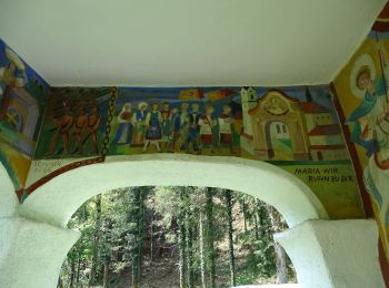
Km
On foot


• Trail created by OEAV Sektion Voitsberg.
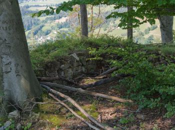
Km
On foot


• Symbol: rot-weiss-rot L2

Km
On foot


• Symbol: rot-weiss-rot 98
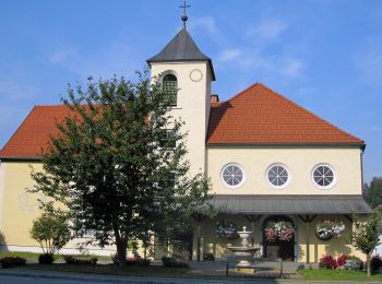
Km
On foot


• Trail created by Naturfreunde Voitsberg. Symbol: rot-weiss-rot 85
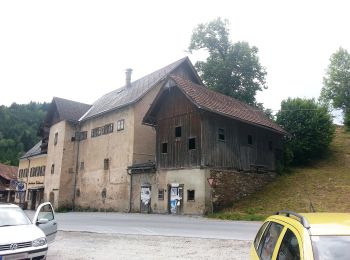
Km
On foot


• Trail created by OEAV Sektion Voitsberg.

Km
On foot


• Trail created by Naturfreunde Köflach, ÖAV Voitsberg. http://wiki.openstreetmap.org/index.php?title=WikiProject_Aust...
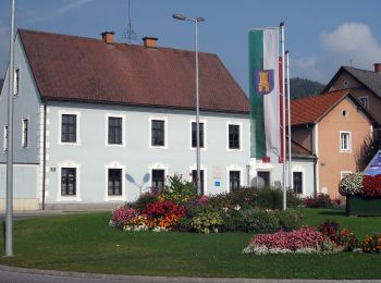
Km
On foot


• Trail created by Naturfreunde Köflach. http://wiki.openstreetmap.org/index.php?title=WikiProject_Austria/Wanderwege ...
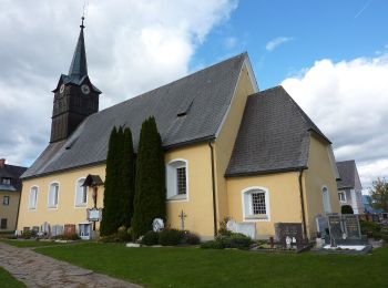
Km
On foot


• Trail created by ???. http://wiki.openstreetmap.org/index.php?title=WikiProject_Austria/Wanderwege Symbol: rot-weis...
Km
On foot


• http://wiki.openstreetmap.org/wiki/WikiProject_Austria/Wanderwege Symbol: rot-weiss-rot 17
Km
On foot


• Trail created by AV Voitsberg. Symbol: rot-weiss-rot 61
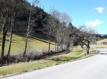
Km
On foot


• Trail created by AV Voitsberg. Symbol: rot-weiss-rot 60

Km
On foot


• Trail created by ÖAV Stallhofen. Symbol: rot-weiss-rot STRW

Km
On foot


• Trail created by ÖAV Sektion Voitsberg.
20 trails displayed on 51
FREE GPS app for hiking


 SityTrail


