
Bezirk Weiz, Styria: Best trails, routes and walks
Bezirk Weiz: Discover the best trails: 103 hiking trails. All these trails, routes and outdoor activities are available in our SityTrail applications for smartphones and tablets.
The best trails (103)
Km
On foot


• Trail created by ??. Symbol: rot-weiss-rot 15
Km
On foot


• Trail created by ÖAV Sektion St. Margarethen. Symbol: rot-weiss-rot 5
Km
On foot


• Trail created by ?. Symbol: rot-grün-rot, Schilder
Km
On foot


• Trail created by Almenland. http://wiki.openstreetmap.org/index.php?title=WikiProject_Austria/Wanderwege Symbol: ro...
Km
On foot


• Symbol: Rot-Weiss-Rot
Km
On foot


• Die Region Weiz und St. Ruprecht an der Raab besticht mit einer faszinierenden Landschaft. Sport- und Naturbegeistert...
Km
On foot


• Die Region Weiz und St. Ruprecht an der Raab besticht mit einer faszinierenden Landschaft. Sport- und Naturbegeistert...
Km
On foot


• http://wiki.openstreetmap.org/wiki/WikiProject_Austria/Wanderwege Website: http://www.tourismus-miesenbach.at/bewe...
Km
On foot


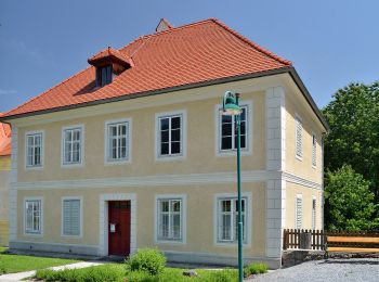
• Trail created by ???. http://wiki.openstreetmap.org/wiki/WikiProject_Austria/Wanderwege Symbol: weiss-gelb-weiss 3
Km
On foot


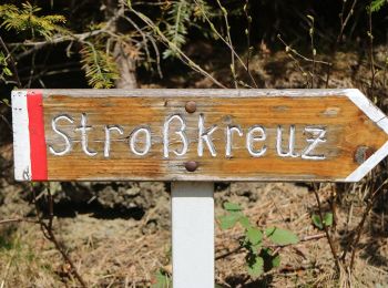
• Trail created by Naturfreunde Weiz. Symbol: Rot-Weiss-Rot 4
Km
On foot


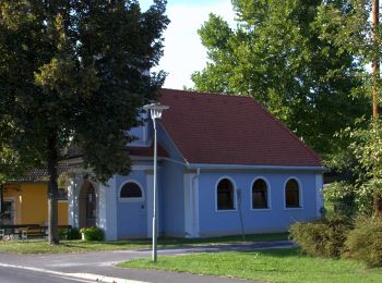
• Trail created by Gemeinde Ilztal. http://wiki.openstreetmap.org/index.php?title=WikiProject_Austria/Wanderwege Symb...
Km
On foot


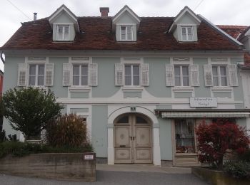
• Trail created by ?. http://wiki.openstreetmap.org/index.php?title=WikiProject_Austria/Wanderwege Symbol: Rot-Weiss-...
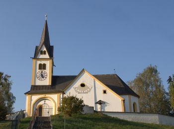
Km
On foot


• Symbol: rot-weiss-rot 3

Km
On foot


• http://wiki.openstreetmap.org/wiki/WikiProject_Austria/Wanderwege
Km
On foot


• Trail created by ?. Symbol: rot-grün-rot, Schilder
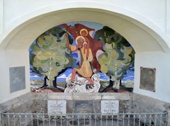
Km
On foot


• http://wiki.openstreetmap.org/wiki/WikiProject_Austria/Wanderwege Symbol: Gelbe Punkte mit schwarzer 13
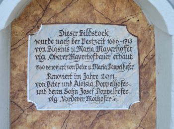
Km
On foot


• http://wiki.openstreetmap.org/wiki/WikiProject_Austria/Wanderwege Website: http://www.tourismus-miesenbach.at/bewe...
Km
On foot


• Trail created by ?. http://wiki.openstreetmap.org/wiki/WikiProject_Austria/Wanderwege Symbol: rot-weiss-rot 9
Km
On foot


• http://wiki.openstreetmap.org/wiki/WikiProject_Austria/Wanderwege Symbol: Gelber Punkt 7
Km
On foot


• Trail created by Naturfreunde Weiz.
20 trails displayed on 103
FREE GPS app for hiking
Activities
Nearby regions
- Albersdorf-Prebuch
- Anger
- Birkfeld
- Fischbach
- Fladnitz an der Teichalm
- Gemeinde Rettenegg
- Gleisdorf
- Gutenberg-Stenzengreith
- Ilztal
- Ludersdorf-Wilfersdorf
- Miesenbach bei Birkfeld
- Mitterdorf an der Raab
- Mortantsch
- Naas
- Passail
- Puch bei Weiz
- Ratten
- Sankt Ruprecht an der Raab
- Sinabelkirchen
- St. Kathrein am Hauenstein
- St. Kathrein am Offenegg
- St. Margarethen an der Raab
- Strallegg
- Thannhausen
- Weiz


 SityTrail


