


19.4 km | 23 km-effort
Tieschen: Discover the best trails: 5 hiking trails. All these trails, routes and outdoor activities are available in our SityTrail applications for smartphones and tablets.
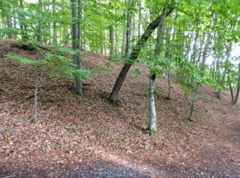
On foot


• Breite Bürgerbeteiligung und ein von Konsens getragenes Mitgestalten zeichnen die von Vulkanen geformte Region Steiri...
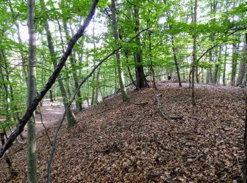
On foot
• Trail created by Tourismusverband Tieschen.
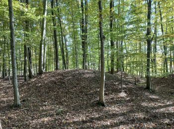
On foot
• Trail created by Tourismusverband Tieschen.
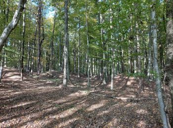
On foot
• Trail created by Tourismusverband Tieschen.
On foot
5 trails displayed on 5
FREE GPS app for hiking
 SityTrail
IGN / Geographical institutes
SityTrail World
The world is yours!