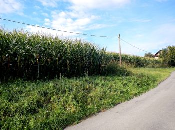
Bezirk Deutschlandsberg, Styria: Best trails, routes and walks

Bezirk Deutschlandsberg: Discover the best trails: 77 hiking trails. All these trails, routes and outdoor activities are available in our SityTrail applications for smartphones and tablets.


The best trails (77)

Trail On foot Eibiswald - R1 Eibiswalder Rundweg - Photo
On foot 14.246
Km
PRO

On foot

Medium
Eibiswald, Styria, Bezirk Deutschlandsberg, Austria
14.2 km | 20 km-effort
4h 36min
449 m
455 m
Yes
SityTrail - itinéraires balisés pédestres

• Trail created by ÖAV Graz. Symbol: rot-weiss-rot + schwarz R1

Trail On foot Eibiswald - Wanderweg 40 - Photo
On foot 7.643
Km
PRO

On foot

Easy
Eibiswald, Styria, Bezirk Deutschlandsberg, Austria
7.6 km | 12 km-effort
2h 43min
409 m
67 m
No
SityTrail - itinéraires balisés pédestres

• Trail created by ÖAV Graz. Symbol: rot-weiss-rot + schwarz 40

Trail On foot Wies - 2-Elemente-Weg - Photo
On foot 18.464
Km
PRO

On foot

Medium
Wies, Styria, Bezirk Deutschlandsberg, Austria
18.5 km | 28 km-effort
6h 20min
750 m
591 m
No
SityTrail - itinéraires balisés pédestres

• Trail created by schilcherland.at.

Trail On foot Deutschlandsberg - Scheidsberg-Rundweg - Photo
On foot 6.377
Km
PRO

On foot

Easy
Deutschlandsberg, Styria, Bezirk Deutschlandsberg, Austria
6.4 km | 8.8 km-effort
1h 59min
181 m
182 m
Yes
SityTrail - itinéraires balisés pédestres

• Trail created by Tourismusverband Schilcherland.

Trail On foot Deutschlandsberg - Rundweg über Schloss Frauental - Photo
On foot 10.675
Km
PRO

On foot

Easy
Deutschlandsberg, Styria, Bezirk Deutschlandsberg, Austria
10.7 km | 13.8 km-effort
3h 8min
234 m
234 m
Yes
SityTrail - itinéraires balisés pédestres

• Trail created by Tourismusverband Schilcherland.
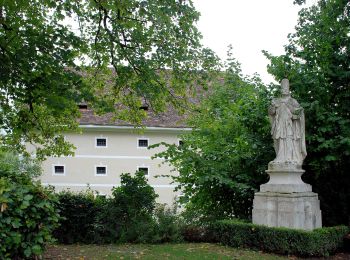
Trail On foot Sankt Stefan ob Stainz - Rundwanderweg 8 - Photo
On foot 4.19
Km
PRO

On foot

Easy
Sankt Stefan ob Stainz, Styria, Bezirk Deutschlandsberg, Austria
4.2 km | 4.5 km-effort
1h 1min
8 m
76 m
No
SityTrail - itinéraires balisés pédestres

• http://wiki.openstreetmap.org/index.php?title=WikiProject_Austria/Wanderwege Symbol: rot - weiss - rot
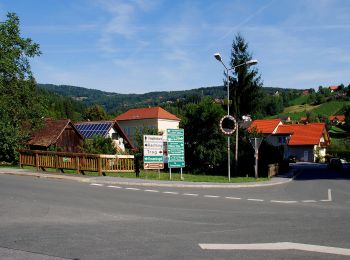
Trail On foot Stainz - Kapellenweg Rundwanderweg - Photo
On foot 5.275
Km
PRO

On foot

Easy
Stainz, Styria, Bezirk Deutschlandsberg, Austria
5.3 km | 8.8 km-effort
1h 59min
295 m
168 m
No
SityTrail - itinéraires balisés pédestres

• Trail created by TVB Schilcherland. Symbol: rot-weiss-rot 3
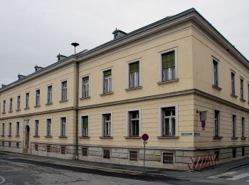
Trail On foot Stainz - Rundwanderweg 6 - Photo
On foot 8.964
Km
PRO

On foot

Easy
Stainz, Styria, Bezirk Deutschlandsberg, Austria
9 km | 10.3 km-effort
2h 20min
97 m
103 m
No
SityTrail - itinéraires balisés pédestres

• Trail created by TVB Schilcherland. http://wiki.openstreetmap.org/index.php?title=WikiProject_Austria/Wanderwege Sy...
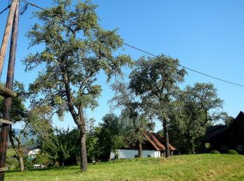
Trail On foot Stainz - Rundwanderweg 5 - Photo
On foot 5.709
Km
PRO

On foot

Easy
Stainz, Styria, Bezirk Deutschlandsberg, Austria
5.7 km | 7.4 km-effort
1h 41min
128 m
126 m
Yes
SityTrail - itinéraires balisés pédestres

• Trail created by TVB Schilcherland. http://wiki.openstreetmap.org/index.php?title=WikiProject_Austria/Wanderwege Sy...
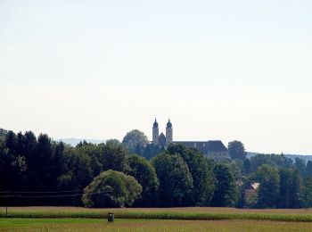
Trail On foot Stainz - Wanderweg 2 - Photo
On foot 5.796
Km
PRO

On foot

Easy
Stainz, Styria, Bezirk Deutschlandsberg, Austria
5.8 km | 9.1 km-effort
2h 3min
326 m
11 m
No
SityTrail - itinéraires balisés pédestres

• Trail created by TVB Schilcherland.

Trail On foot Stainz - Wanderweg 13 - Photo
On foot 4.58
Km
PRO

On foot

Easy
Stainz, Styria, Bezirk Deutschlandsberg, Austria
4.6 km | 7.3 km-effort
1h 39min
205 m
190 m
No
SityTrail - itinéraires balisés pédestres

• Trail created by TVB Schilcherland. Symbol: rot-weiss-rot 13
Trail On foot Stainz - Wanderweg 4 - Photo
On foot 6.828
Km
PRO

On foot

Easy
Stainz, Styria, Bezirk Deutschlandsberg, Austria
6.8 km | 8.4 km-effort
1h 54min
125 m
92 m
No
SityTrail - itinéraires balisés pédestres

• Symbol: rot-weiss-rot 4

Trail On foot Stainz - Rundwanderweg 7 - Photo
On foot 7.924
Km
PRO

On foot

Easy
Stainz, Styria, Bezirk Deutschlandsberg, Austria
7.9 km | 9.8 km-effort
2h 13min
140 m
140 m
Yes
SityTrail - itinéraires balisés pédestres

• Trail created by TVB Schilcherland. http://wiki.openstreetmap.org/index.php?title=WikiProject_Austria/Wanderwege Sy...

Trail On foot Stainz - Wanderweg 16 - Photo
On foot 10.405
Km
PRO

On foot

Easy
Stainz, Styria, Bezirk Deutschlandsberg, Austria
10.4 km | 12.4 km-effort
2h 49min
150 m
150 m
Yes
SityTrail - itinéraires balisés pédestres

• Trail created by TVB Schilcherland. http://wiki.openstreetmap.org/wiki/WikiProject_Austria/Wanderwege Symbol: rot-w...
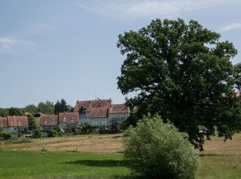
Trail On foot Sankt Josef - Wanderweg 17 - Photo
On foot 7.249
Km
PRO

On foot

Easy
Sankt Josef, Styria, Bezirk Deutschlandsberg, Austria
7.2 km | 9.7 km-effort
2h 11min
185 m
174 m
No
SityTrail - itinéraires balisés pédestres

• Trail created by TVB Schilcherland. http://wiki.openstreetmap.org/wiki/WikiProject_Austria/Wanderwege Symbol: rot-w...
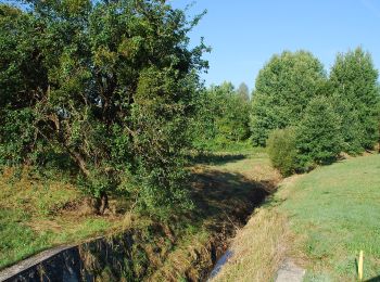
Trail On foot Stainz - Georgsberg Rundweg - Photo
On foot 11.593
Km
PRO

On foot

Easy
Stainz, Styria, Bezirk Deutschlandsberg, Austria
11.6 km | 15 km-effort
3h 24min
257 m
259 m
Yes
SityTrail - itinéraires balisés pédestres

• http://wiki.openstreetmap.org/wiki/WikiProject_Austria/Wanderwege Symbol: rot-weiss-rot 15 Website: http://www.wan...
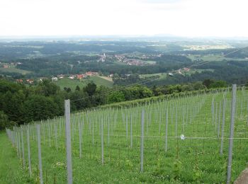
Trail On foot Sankt Stefan ob Stainz - GenussSchilchern dort - Photo
On foot 9.021
Km
PRO

On foot

Easy
Sankt Stefan ob Stainz, Styria, Bezirk Deutschlandsberg, Austria
9 km | 14.1 km-effort
3h 12min
383 m
387 m
Yes
SityTrail - itinéraires balisés pédestres

• Trail created by Region Reinischkogel. http://wiki.openstreetmap.org/wiki/WikiProject_Austria/Wanderwege Symbol: bu...
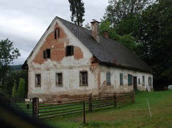
Trail On foot Sankt Stefan ob Stainz - GenussSchilchern da Westliche Runde - Photo
On foot 7.577
Km
PRO

On foot

Easy
Sankt Stefan ob Stainz, Styria, Bezirk Deutschlandsberg, Austria
7.6 km | 11.3 km-effort
2h 33min
276 m
278 m
Yes
SityTrail - itinéraires balisés pédestres

• Trail created by Region Reinischkogel. http://wiki.openstreetmap.org/wiki/WikiProject_Austria/Wanderwege Symbol: bu...
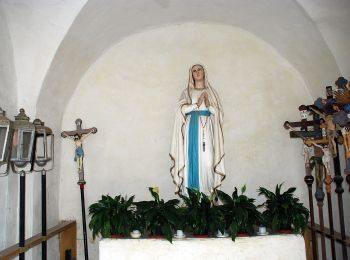
Trail On foot Sankt Stefan ob Stainz - GenussSchilchern da Mittlere Runde - Photo
On foot 6.2
Km
PRO

On foot

Easy
Sankt Stefan ob Stainz, Styria, Bezirk Deutschlandsberg, Austria
6.2 km | 8.9 km-effort
2h 1min
205 m
209 m
Yes
SityTrail - itinéraires balisés pédestres

• Trail created by Region Reinischkogel. http://wiki.openstreetmap.org/wiki/WikiProject_Austria/Wanderwege Symbol: bu...
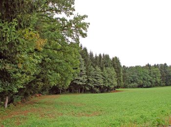
Trail On foot Sankt Stefan ob Stainz - GenussSchilchern da Östliche Runde - Photo
On foot 5.931
Km
PRO

On foot

Easy
Sankt Stefan ob Stainz, Styria, Bezirk Deutschlandsberg, Austria
5.9 km | 8.7 km-effort
1h 59min
212 m
209 m
Yes
SityTrail - itinéraires balisés pédestres

• Trail created by Region Reinischkogel. http://wiki.openstreetmap.org/wiki/WikiProject_Austria/Wanderwege Symbol: bu...

20 trails displayed on 77

FREE GPS app for hiking

Logo SityTrail SityTrail

IGN / Geographical institutes

Download SityTrail from the App Store Download SityTrail from Google Play

Logo SityTrail SityTrail World

The world is yours!

Download SityTrail from the App Store Download SityTrail from Google Play Download SityTrail on Huawei AppGallery

Activities

Nearby regions

Close
My subscriptions