![](/images/other/stat-length.png)
Thal, Bezirk Graz-Umgebung: Best trails, routes and walks
Thal: Discover the best trails: 2 hiking trails. All these trails, routes and outdoor activities are available in our SityTrail applications for smartphones and tablets.
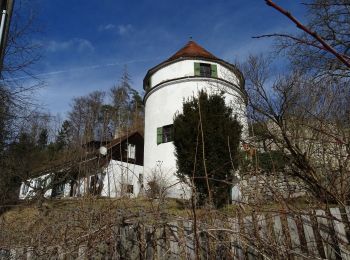
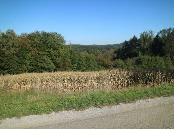
The best trails (2)
![Trail On foot Thal - Arnold Schwarzenegger Wanderweg - Photo](https://media.geolcdn.com/t/350/260/ext.jpg?maxdim=2&url=https%3A%2F%2Fmedia.geolcdn.com%2Ff%2F27b69a35-96e2-4eaa-92ef-745945ffc9e7.jpeg)
![On foot On foot](https://static1.geolcdn.com/sitytour/trail-icons/100.png)
Km
#1 - Arnold Schwarzenegger Wanderweg
On foot
Easy
Thal,
Styria,
Bezirk Graz-Umgebung,
Austria
![](/images/other/stat-length.png)
6.1 km | 8.3 km-effort
1h 53min
![](https://static1.geolcdn.com/siteimages/upload/files/1508320355ic_sort_den_pos_24dp.png)
160 m
![](https://static1.geolcdn.com/siteimages/upload/files/1508320355ic_sort_den_neg_24dp.png)
182 m
![](https://static1.geolcdn.com/siteimages/upload/files/16400158638029165_repeat_loop_refresh_sync_direction_icon.png)
No
SityTrail - itinéraires balisés pédestres
• Symbol: Kopf mit Wappen Website: https://thal.gv.at/arnold-schwarzenegger-wanderweg/
![Trail On foot Thal - Wanderweg 40 - Photo](https://media.geolcdn.com/t/350/260/ext.jpg?maxdim=2&url=https%3A%2F%2Fmedia.geolcdn.com%2Ff%2Fe54800ce-9448-4500-b6f6-b29e37a3cf72.jpeg)
![On foot On foot](https://static1.geolcdn.com/sitytour/trail-icons/100.png)
Km
#2 - Wanderweg 40
On foot
Easy
Thal,
Styria,
Bezirk Graz-Umgebung,
Austria
![](/images/other/stat-length.png)
5.9 km | 7.8 km-effort
1h 46min
![](https://static1.geolcdn.com/siteimages/upload/files/1508320355ic_sort_den_pos_24dp.png)
117 m
![](https://static1.geolcdn.com/siteimages/upload/files/1508320355ic_sort_den_neg_24dp.png)
232 m
![](https://static1.geolcdn.com/siteimages/upload/files/16400158638029165_repeat_loop_refresh_sync_direction_icon.png)
No
SityTrail - itinéraires balisés pédestres
• Trail created by ÖAV Hitzendorf. Symbol: rot-weiss-rot 40
2 trails displayed on 2
FREE GPS app for hiking