![](/images/other/stat-length.png)
- Trails
- Outdoor
- Austria
- Styria
- Bezirk Graz-Umgebung
- Hausmannstätten
Hausmannstätten, Bezirk Graz-Umgebung: Best trails, routes and walks
Hausmannstätten: Discover the best trails: 6 hiking trails. All these trails, routes and outdoor activities are available in our SityTrail applications for smartphones and tablets.
The best trails (6)
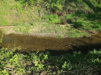
![Trail On foot Hausmannstätten - Rundwanderweg 12 - Photo](https://media.geolcdn.com/t/350/260/9474d2c4-e095-49fb-bb3b-93711f4ee3c6.jpeg&format=jpg&maxdim=2)
![On foot On foot](https://static1.geolcdn.com/sitytour/trail-icons/100.png)
Km
On foot
![](/images/other/stat-length.png)
![](https://static1.geolcdn.com/siteimages/upload/files/1508320355ic_sort_den_pos_24dp.png)
![](https://static1.geolcdn.com/siteimages/upload/files/1508320355ic_sort_den_neg_24dp.png)
![](https://static1.geolcdn.com/siteimages/upload/files/16400158638029165_repeat_loop_refresh_sync_direction_icon.png)
• http://wiki.openstreetmap.org/wiki/WikiProject_Austria/Wanderwege Symbol: rot-weiss-rot 12
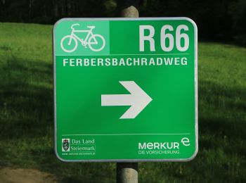
![Trail On foot Hausmannstätten - Rundwanderweg 11 - Photo](https://media.geolcdn.com/t/350/260/d1a9d739-f7d9-4cf4-baa0-e6b43632651c.jpeg&format=jpg&maxdim=2)
![On foot On foot](https://static1.geolcdn.com/sitytour/trail-icons/100.png)
Km
On foot
![](/images/other/stat-length.png)
![](https://static1.geolcdn.com/siteimages/upload/files/1508320355ic_sort_den_pos_24dp.png)
![](https://static1.geolcdn.com/siteimages/upload/files/1508320355ic_sort_den_neg_24dp.png)
![](https://static1.geolcdn.com/siteimages/upload/files/16400158638029165_repeat_loop_refresh_sync_direction_icon.png)
• http://wiki.openstreetmap.org/wiki/WikiProject_Austria/Wanderwege Symbol: rot-weiss-rot 11
![Trail On foot Hausmannstätten - Rundwanderweg 13 - Photo](https://media.geolcdn.com/t/350/260/9474d2c4-e095-49fb-bb3b-93711f4ee3c6.jpeg&format=jpg&maxdim=2)
![On foot On foot](https://static1.geolcdn.com/sitytour/trail-icons/100.png)
Km
On foot
![](/images/other/stat-length.png)
![](https://static1.geolcdn.com/siteimages/upload/files/1508320355ic_sort_den_pos_24dp.png)
![](https://static1.geolcdn.com/siteimages/upload/files/1508320355ic_sort_den_neg_24dp.png)
![](https://static1.geolcdn.com/siteimages/upload/files/16400158638029165_repeat_loop_refresh_sync_direction_icon.png)
• http://wiki.openstreetmap.org/wiki/WikiProject_Austria/Wanderwege Symbol: rot-weiss-rot 13
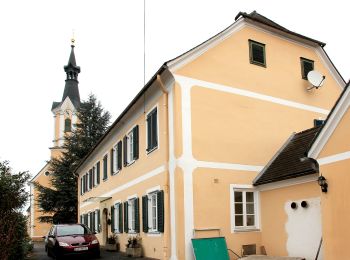
![Trail On foot Hausmannstätten - GSR Südring - Photo](https://media.geolcdn.com/t/350/260/fe3633ef-47ad-4bca-b204-2cb99caee526.jpeg&format=jpg&maxdim=2)
![On foot On foot](https://static1.geolcdn.com/sitytour/trail-icons/100.png)
Km
On foot
![](/images/other/stat-length.png)
![](https://static1.geolcdn.com/siteimages/upload/files/1508320355ic_sort_den_pos_24dp.png)
![](https://static1.geolcdn.com/siteimages/upload/files/1508320355ic_sort_den_neg_24dp.png)
![](https://static1.geolcdn.com/siteimages/upload/files/16400158638029165_repeat_loop_refresh_sync_direction_icon.png)
• Trail created by GU Süd. http://wiki.openstreetmap.org/wiki/WikiProject_Austria/Wanderwege Symbol: rot-weiss-rot GSR
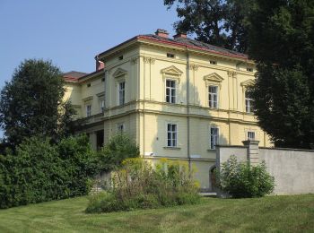
![Trail On foot Hausmannstätten - GSR Westring - Photo](https://media.geolcdn.com/t/350/260/d68540af-cea5-45c0-9617-ac8e47698d9d.jpeg&format=jpg&maxdim=2)
![On foot On foot](https://static1.geolcdn.com/sitytour/trail-icons/100.png)
Km
On foot
![](/images/other/stat-length.png)
![](https://static1.geolcdn.com/siteimages/upload/files/1508320355ic_sort_den_pos_24dp.png)
![](https://static1.geolcdn.com/siteimages/upload/files/1508320355ic_sort_den_neg_24dp.png)
![](https://static1.geolcdn.com/siteimages/upload/files/16400158638029165_repeat_loop_refresh_sync_direction_icon.png)
• Trail created by GU Süd. http://wiki.openstreetmap.org/wiki/WikiProject_Austria/Wanderwege Symbol: rot-weiss-rot GSR
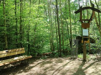
![Trail On foot Hausmannstätten - GSR Ostring - Photo](https://media.geolcdn.com/t/350/260/22be02a3-1a78-4f00-af1c-b91058a28b8e.jpeg&format=jpg&maxdim=2)
![On foot On foot](https://static1.geolcdn.com/sitytour/trail-icons/100.png)
Km
On foot
![](/images/other/stat-length.png)
![](https://static1.geolcdn.com/siteimages/upload/files/1508320355ic_sort_den_pos_24dp.png)
![](https://static1.geolcdn.com/siteimages/upload/files/1508320355ic_sort_den_neg_24dp.png)
![](https://static1.geolcdn.com/siteimages/upload/files/16400158638029165_repeat_loop_refresh_sync_direction_icon.png)
• Trail created by GU Süd. http://wiki.openstreetmap.org/wiki/WikiProject_Austria/Wanderwege Symbol: rot-weiss-rot GSR
6 trails displayed on 6
FREE GPS app for hiking