
Bezirk Liezen, Styria: Best trails, routes and walks
Bezirk Liezen: Discover the best trails: 69 hiking trails and 2 bike and mountain-bike routes. All these trails, routes and outdoor activities are available in our SityTrail applications for smartphones and tablets.
The best trails (71)
Km
On foot


• Trail created by Gemeinde Tauplitz. Symbol: rot weiß rot

Km
On foot


• Symbol: rot-weiß-rot 9
Km
On foot


• Trail created by Stadtgemeinde Liezen. Symbol: red and green sign with white arrow and white lettering
Km
On foot


• Trail created by Tourismusverband Ramsau am Dachstein.
Km
On foot


• Trail created by ÖAV Admont. Symbol: rot-weiss-rot 36
Km
On foot


• http://wiki.openstreetmap.org/wiki/WikiProject_Austria/Wanderwege Symbol: rot-weiss-rot
Km
On foot


• http://wiki.openstreetmap.org/index.php?title=WikiProject_Austria/Wanderwege Symbol: Rot-Weiss-Rot 12
Km
On foot


• Trail created by Naturfreunde Schladming.

Km
On foot


• Symbol: rot-weiss-rot 37
Km
On foot


• Trail created by Gröbmingerland.
Km
On foot


• http://wiki.openstreetmap.org/wiki/WikiProject_Austria/Wanderwege
Km
On foot


• Trail created by ÖAV Schladming.
Km
On foot


• Trail created by Tourismusverband Ramsau Dachstein.
Km
On foot


• Trail created by Tourismusverband Ramsau Dachstein.
Km
On foot


• Trail created by Tourismusverband Ramsau Dachstein.
Km
On foot


• Trail created by Tourismusverband Ramsau Dachstein.
Km
On foot


• Trail created by Tourismusverband Ramsau Dachstein.
Km
On foot


• Trail created by Tourismusverband Ramsau Dachstein.
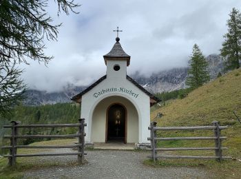
Km
On foot


• Trail created by Tourismusverband Ramsau Dachstein.
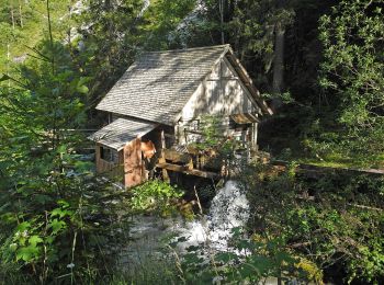
Km
On foot


• Trail created by Tourismusverband Ramsau Dachstein.
20 trails displayed on 71
FREE GPS app for hiking


 SityTrail


