
- Trails
- Outdoor
- Austria
- Lower Austria
- Bezirk Lilienfeld
Bezirk Lilienfeld, Lower Austria: Best trails, routes and walks
Bezirk Lilienfeld: Discover the best trails: 58 hiking trails. All these trails, routes and outdoor activities are available in our SityTrail applications for smartphones and tablets.
The best trails (58)

Km
On foot


• Symbol: gelbes Schild mit blauem Pfeil

Km
On foot


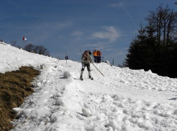
• Trail created by ÖTK Österreichischer Touristenklub.
Km
On foot


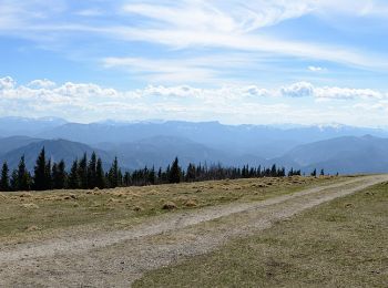
• Trail created by ÖTK Österreichischer Touristenklub.
Km
On foot


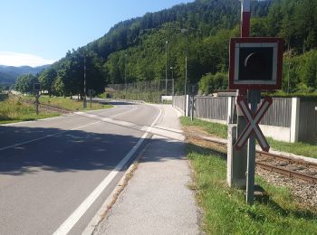
• Trail created by ÖTK Österreichischer Touristenklub.
Km
On foot


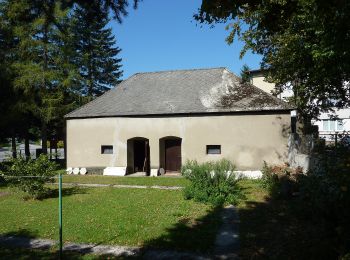
• Trail created by ÖTK Österreichischer Touristenklub.
Km
On foot


• Trail created by Niederösterreichische Familienwanderwege. Symbol: gelbes Schild, weiße Schrift "Route 3"

Km
On foot


• Trail created by Niederösterreichische Familienwanderwege. Symbol: gelbes Schild, weiße Schrift "Route 4"
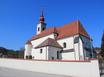
Km
On foot


• Trail created by Niederösterreichische Familienwanderwege. Symbol: gelbes Schild, weiße Schrift "Route 1"

Km
On foot


• Trail created by Niederösterreichische Familienwanderwege. Symbol: gelbes Schild, weiße Schrift "Route 2"

Km
On foot


• Trail created by Touristenverein "Die Naturfreunde", Ortsgruppe St. Veit a.d. Gölsen. Symbol: weiß-blau-weiß

Km
On foot


• Trail created by Touristenverein "Die Naturfreunde", Ortsgruppe St. Veit a.d. Gölsen. Symbol: weiß-blau-weiß

Km
On foot


• Trail created by Touristenverein "Die Naturfreunde", Ortsgruppe St. Veit a.d. Gölsen. Symbol: gelb-rot
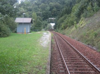
Km
On foot


• fertig stellen Symbol: gelb-rot
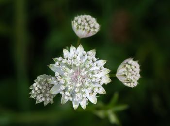
Km
On foot


• Symbol: blauer,waagrechter Balken
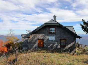
Km
On foot


• Trail created by Österreichischer Gebirgsverein, Ortsgruppe St. Pölten. http://wiki.openstreetmap.org/index.php?titl...
Km
On foot


• Trail created by Österreichischer Gebirgsverein, Ortsgruppe St. Pölten. http://wiki.openstreetmap.org/index.php?titl...

Km
On foot


• Trail created by Österreichischer Gebirgsverein, Ortsgruppe St. Pölten. http://wiki.openstreetmap.org/index.php?titl...
Km
On foot


• Trail created by Österreichischer Gebirgsverein, Ortsgruppe St. Pölten. http://wiki.openstreetmap.org/index.php?titl...
Km
On foot


• Trail created by Österreichischer Gebirgsverein, Ortsgruppe St. Pölten. http://wiki.openstreetmap.org/index.php?titl...
Km
On foot


• Trail created by Österreichischer Touristenklub. Symbol: roter, waagrechter Balken
20 trails displayed on 58
FREE GPS app for hiking


 SityTrail


