![](/images/other/stat-length.png)
- Trails
- Outdoor
- Austria
- Lower Austria
- Bezirk Wiener Neustadt
- Bad Schönau
Bad Schönau, Bezirk Wiener Neustadt: Best trails, routes and walks
Bad Schönau: Discover the best trails: 8 hiking trails. All these trails, routes and outdoor activities are available in our SityTrail applications for smartphones and tablets.
The best trails (8)
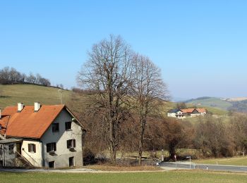
![Trail On foot Bad Schönau - Weg der Blicke - Photo](https://media.geolcdn.com/t/350/260/bd93f8b9-9a10-4607-ba92-df4b32511949.jpeg&format=jpg&maxdim=2)
![On foot On foot](https://static1.geolcdn.com/sitytour/trail-icons/100.png)
Km
On foot
![](/images/other/stat-length.png)
![](https://static1.geolcdn.com/siteimages/upload/files/1508320355ic_sort_den_pos_24dp.png)
![](https://static1.geolcdn.com/siteimages/upload/files/1508320355ic_sort_den_neg_24dp.png)
![](https://static1.geolcdn.com/siteimages/upload/files/16400158638029165_repeat_loop_refresh_sync_direction_icon.png)
• Symbol: Augen-Symbol
![Trail On foot Bad Schönau - Schönau - Schlägen - Habich - Photo](https://media.geolcdn.com/t/350/260/f33eb801-3939-4468-81da-35b564df7464.jpeg&format=jpg&maxdim=2)
![On foot On foot](https://static1.geolcdn.com/sitytour/trail-icons/100.png)
Km
On foot
![](/images/other/stat-length.png)
![](https://static1.geolcdn.com/siteimages/upload/files/1508320355ic_sort_den_pos_24dp.png)
![](https://static1.geolcdn.com/siteimages/upload/files/1508320355ic_sort_den_neg_24dp.png)
![](https://static1.geolcdn.com/siteimages/upload/files/16400158638029165_repeat_loop_refresh_sync_direction_icon.png)
• Symbol: blauer Balken, E4
![Trail On foot Bad Schönau - Almenweg (Bad Schönau - Hutwisch - Schlägen Rundwanderweg) - Photo](https://media.geolcdn.com/t/350/260/bd93f8b9-9a10-4607-ba92-df4b32511949.jpeg&format=jpg&maxdim=2)
![On foot On foot](https://static1.geolcdn.com/sitytour/trail-icons/100.png)
Km
On foot
![](/images/other/stat-length.png)
![](https://static1.geolcdn.com/siteimages/upload/files/1508320355ic_sort_den_pos_24dp.png)
![](https://static1.geolcdn.com/siteimages/upload/files/1508320355ic_sort_den_neg_24dp.png)
![](https://static1.geolcdn.com/siteimages/upload/files/16400158638029165_repeat_loop_refresh_sync_direction_icon.png)
• Symbol: blauer,waagrechter Balken
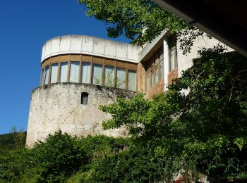
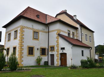
![Trail On foot Bad Schönau - Bad Schönau - Schloß Krumbach - Photo](https://media.geolcdn.com/t/350/260/9003c0a3-41b1-4def-8500-cbc1991fff80.jpeg&format=jpg&maxdim=2)
![On foot On foot](https://static1.geolcdn.com/sitytour/trail-icons/100.png)
Km
On foot
![](/images/other/stat-length.png)
![](https://static1.geolcdn.com/siteimages/upload/files/1508320355ic_sort_den_pos_24dp.png)
![](https://static1.geolcdn.com/siteimages/upload/files/1508320355ic_sort_den_neg_24dp.png)
![](https://static1.geolcdn.com/siteimages/upload/files/16400158638029165_repeat_loop_refresh_sync_direction_icon.png)
• Trail created by Österreichischer Touristenklub. Symbol: gelber, waagerechter Balken
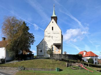
![Trail On foot Bad Schönau - Weg zum](https://media.geolcdn.com/t/350/260/80e840d0-e904-4b82-af88-5b452ddce4e0.jpeg&format=jpg&maxdim=2)
![On foot On foot](https://static1.geolcdn.com/sitytour/trail-icons/100.png)
Km
On foot
![](/images/other/stat-length.png)
![](https://static1.geolcdn.com/siteimages/upload/files/1508320355ic_sort_den_pos_24dp.png)
![](https://static1.geolcdn.com/siteimages/upload/files/1508320355ic_sort_den_neg_24dp.png)
![](https://static1.geolcdn.com/siteimages/upload/files/16400158638029165_repeat_loop_refresh_sync_direction_icon.png)
• Trail created by Fremdenverkehrsverein Bad Schönau. Symbol: blauer,waagrechter Balken
![Trail On foot Bad Schönau - Rundwanderweg 1 (Bad Schönau) - Photo](https://media.geolcdn.com/t/350/260/80e840d0-e904-4b82-af88-5b452ddce4e0.jpeg&format=jpg&maxdim=2)
![On foot On foot](https://static1.geolcdn.com/sitytour/trail-icons/100.png)
Km
On foot
![](/images/other/stat-length.png)
![](https://static1.geolcdn.com/siteimages/upload/files/1508320355ic_sort_den_pos_24dp.png)
![](https://static1.geolcdn.com/siteimages/upload/files/1508320355ic_sort_den_neg_24dp.png)
![](https://static1.geolcdn.com/siteimages/upload/files/16400158638029165_repeat_loop_refresh_sync_direction_icon.png)
• Trail created by Fremdenverkehrsverein Bad Schönau.
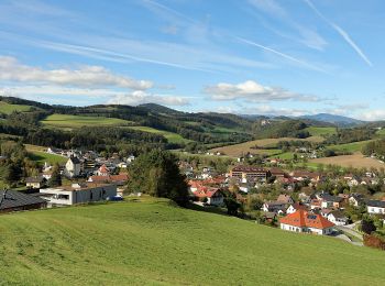
![Trail On foot Bad Schönau - Rundwanderweg 2 (Bad Schönau) - Photo](https://media.geolcdn.com/t/350/260/65a49142-4ce1-46b4-a29c-a283121740a4.jpeg&format=jpg&maxdim=2)
![On foot On foot](https://static1.geolcdn.com/sitytour/trail-icons/100.png)
Km
On foot
![](/images/other/stat-length.png)
![](https://static1.geolcdn.com/siteimages/upload/files/1508320355ic_sort_den_pos_24dp.png)
![](https://static1.geolcdn.com/siteimages/upload/files/1508320355ic_sort_den_neg_24dp.png)
![](https://static1.geolcdn.com/siteimages/upload/files/16400158638029165_repeat_loop_refresh_sync_direction_icon.png)
• Trail created by Fremdenverkehrsverein Bad Schönau.
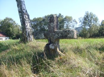
![Trail On foot Bad Schönau - Großer Leitenviertelweg (E8) - Photo](https://media.geolcdn.com/t/350/260/21c0c9b7-04c1-4f63-a88f-558fb8976f30.jpeg&format=jpg&maxdim=2)
![On foot On foot](https://static1.geolcdn.com/sitytour/trail-icons/100.png)
Km
On foot
![](/images/other/stat-length.png)
![](https://static1.geolcdn.com/siteimages/upload/files/1508320355ic_sort_den_pos_24dp.png)
![](https://static1.geolcdn.com/siteimages/upload/files/1508320355ic_sort_den_neg_24dp.png)
![](https://static1.geolcdn.com/siteimages/upload/files/16400158638029165_repeat_loop_refresh_sync_direction_icon.png)
• Trail created by Fremdenverkehrsverein Bad Schönau. Symbol: grüner, waagrechter Balken
8 trails displayed on 8
FREE GPS app for hiking