![](/images/other/stat-length.png)
- Trails
- Outdoor
- Austria
- Lower Austria
- Bezirk Tulln
- Gemeinde Klosterneuburg
Gemeinde Klosterneuburg, Bezirk Tulln: Best trails, routes and walks
Gemeinde Klosterneuburg: Discover the best trails: 19 hiking trails. All these trails, routes and outdoor activities are available in our SityTrail applications for smartphones and tablets.
The best trails (19)
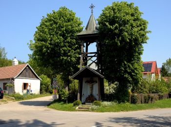
![Trail On foot Gemeinde Klosterneuburg - Rundwanderweg 4 - Photo](https://media.geolcdn.com/t/350/260/5781b571-b3f3-42cf-8768-6a9cd954d762.jpeg&format=jpg&maxdim=2)
![On foot On foot](https://static1.geolcdn.com/sitytour/trail-icons/100.png)
Km
On foot
![](/images/other/stat-length.png)
![](https://static1.geolcdn.com/siteimages/upload/files/1508320355ic_sort_den_pos_24dp.png)
![](https://static1.geolcdn.com/siteimages/upload/files/1508320355ic_sort_den_neg_24dp.png)
![](https://static1.geolcdn.com/siteimages/upload/files/16400158638029165_repeat_loop_refresh_sync_direction_icon.png)
• Trail created by Dorferneuerung Hadersfeld. Symbol: 4
![Trail On foot Gemeinde Klosterneuburg - Rundwanderweg 3 - Photo](https://media.geolcdn.com/t/350/260/5781b571-b3f3-42cf-8768-6a9cd954d762.jpeg&format=jpg&maxdim=2)
![On foot On foot](https://static1.geolcdn.com/sitytour/trail-icons/100.png)
Km
On foot
![](/images/other/stat-length.png)
![](https://static1.geolcdn.com/siteimages/upload/files/1508320355ic_sort_den_pos_24dp.png)
![](https://static1.geolcdn.com/siteimages/upload/files/1508320355ic_sort_den_neg_24dp.png)
![](https://static1.geolcdn.com/siteimages/upload/files/16400158638029165_repeat_loop_refresh_sync_direction_icon.png)
• Trail created by Dorferneuerung Hadersfeld. Symbol: 3
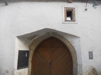
![Trail On foot Gemeinde Klosterneuburg - Klosterneuburg - Hohenauer Wiese (Adolf Robl Weg) - Photo](https://media.geolcdn.com/t/350/260/0ad0fdf4-6d13-42e8-a837-bd5f989cca6c.jpeg&format=jpg&maxdim=2)
![On foot On foot](https://static1.geolcdn.com/sitytour/trail-icons/100.png)
Km
On foot
![](/images/other/stat-length.png)
![](https://static1.geolcdn.com/siteimages/upload/files/1508320355ic_sort_den_pos_24dp.png)
![](https://static1.geolcdn.com/siteimages/upload/files/1508320355ic_sort_den_neg_24dp.png)
![](https://static1.geolcdn.com/siteimages/upload/files/16400158638029165_repeat_loop_refresh_sync_direction_icon.png)
• Trail created by ÖTK-Klosterneuburg. Symbol: weiss-gruen-weiss
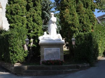
![Trail On foot Gemeinde Klosterneuburg - Kierling - Eichenhain - Photo](https://media.geolcdn.com/t/350/260/dac8ea3a-c503-4e65-8032-64dfd703fdc0.jpeg&format=jpg&maxdim=2)
![On foot On foot](https://static1.geolcdn.com/sitytour/trail-icons/100.png)
Km
On foot
![](/images/other/stat-length.png)
![](https://static1.geolcdn.com/siteimages/upload/files/1508320355ic_sort_den_pos_24dp.png)
![](https://static1.geolcdn.com/siteimages/upload/files/1508320355ic_sort_den_neg_24dp.png)
![](https://static1.geolcdn.com/siteimages/upload/files/16400158638029165_repeat_loop_refresh_sync_direction_icon.png)
• Trail created by ÖTK-Klosterneuburg. Symbol: weiss-blau-weiss
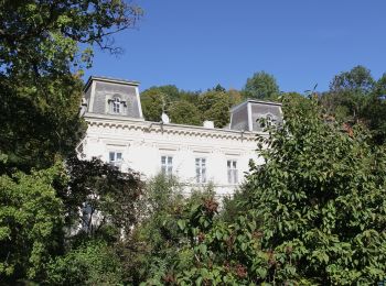
![Trail On foot Gemeinde Klosterneuburg - Weidling - Kierling (Dr. Walter Brandstetter Weg) - Photo](https://media.geolcdn.com/t/350/260/4443d887-bb67-409e-9884-c1e7d6cd8438.jpeg&format=jpg&maxdim=2)
![On foot On foot](https://static1.geolcdn.com/sitytour/trail-icons/100.png)
Km
On foot
![](/images/other/stat-length.png)
![](https://static1.geolcdn.com/siteimages/upload/files/1508320355ic_sort_den_pos_24dp.png)
![](https://static1.geolcdn.com/siteimages/upload/files/1508320355ic_sort_den_neg_24dp.png)
![](https://static1.geolcdn.com/siteimages/upload/files/16400158638029165_repeat_loop_refresh_sync_direction_icon.png)
• Trail created by ÖTK-Klosterneuburg. Symbol: weiss-gelb-weiss
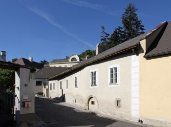
![Trail On foot Gemeinde Klosterneuburg - Weidling - Hohenauer Wiese - Photo](https://media.geolcdn.com/t/350/260/a3fef88e-6ffd-425c-81bc-63c3658ae9d6.jpeg&format=jpg&maxdim=2)
![On foot On foot](https://static1.geolcdn.com/sitytour/trail-icons/100.png)
Km
On foot
![](/images/other/stat-length.png)
![](https://static1.geolcdn.com/siteimages/upload/files/1508320355ic_sort_den_pos_24dp.png)
![](https://static1.geolcdn.com/siteimages/upload/files/1508320355ic_sort_den_neg_24dp.png)
![](https://static1.geolcdn.com/siteimages/upload/files/16400158638029165_repeat_loop_refresh_sync_direction_icon.png)
• Trail created by ÖTK-Klosterneuburg. Symbol: weiss-rot-weiss
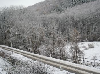
![Trail On foot Gemeinde Klosterneuburg - Klosterneuburg - Hinterweidling - Photo](https://media.geolcdn.com/t/350/260/f829833b-6801-4cba-96fc-04e334598f2f.jpeg&format=jpg&maxdim=2)
![On foot On foot](https://static1.geolcdn.com/sitytour/trail-icons/100.png)
Km
On foot
![](/images/other/stat-length.png)
![](https://static1.geolcdn.com/siteimages/upload/files/1508320355ic_sort_den_pos_24dp.png)
![](https://static1.geolcdn.com/siteimages/upload/files/1508320355ic_sort_den_neg_24dp.png)
![](https://static1.geolcdn.com/siteimages/upload/files/16400158638029165_repeat_loop_refresh_sync_direction_icon.png)
• Trail created by ÖTK-Klosterneuburg. Symbol: weiss-gruen-weiss Website: https://www.oetk-klosterneuburg.at/index.p...
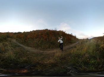
![Trail On foot Gemeinde Klosterneuburg - Rotes Kreuz/Exelberg - Dreimarkstein/Häuserl am Roan - Photo](https://media.geolcdn.com/t/350/260/849aab6c-393b-4c32-81fc-323c99a37ec8.jpeg&format=jpg&maxdim=2)
![On foot On foot](https://static1.geolcdn.com/sitytour/trail-icons/100.png)
Km
On foot
![](/images/other/stat-length.png)
![](https://static1.geolcdn.com/siteimages/upload/files/1508320355ic_sort_den_pos_24dp.png)
![](https://static1.geolcdn.com/siteimages/upload/files/1508320355ic_sort_den_neg_24dp.png)
![](https://static1.geolcdn.com/siteimages/upload/files/16400158638029165_repeat_loop_refresh_sync_direction_icon.png)
• Trail created by ÖTK-Klosterneuburg. Symbol: weiss-rot-weiss Website: https://www.oetk-klosterneuburg.at/index.php...
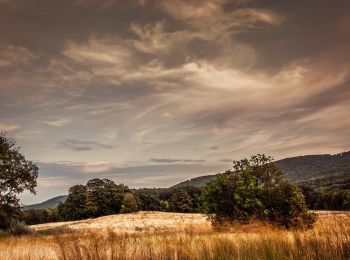
![Trail On foot Gemeinde Klosterneuburg - Weidlingbach/Dombachgraben - Moosbrunner Boden - Photo](https://media.geolcdn.com/t/350/260/83bc78e5-1eaa-4619-8a48-a740c67069bb.jpeg&format=jpg&maxdim=2)
![On foot On foot](https://static1.geolcdn.com/sitytour/trail-icons/100.png)
Km
On foot
![](/images/other/stat-length.png)
![](https://static1.geolcdn.com/siteimages/upload/files/1508320355ic_sort_den_pos_24dp.png)
![](https://static1.geolcdn.com/siteimages/upload/files/1508320355ic_sort_den_neg_24dp.png)
![](https://static1.geolcdn.com/siteimages/upload/files/16400158638029165_repeat_loop_refresh_sync_direction_icon.png)
• Trail created by ÖTK-Klosterneuburg. Symbol: weiss-rot-weiss Website: https://www.oetk-klosterneuburg.at/index.php...
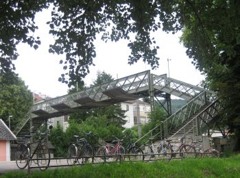
![Trail On foot Gemeinde Klosterneuburg - Kritzendorf-Redlinger Hütte - Photo](https://media.geolcdn.com/t/350/260/c847b275-285b-44c9-b2fc-5a06b893e0e3.jpeg&format=jpg&maxdim=2)
![On foot On foot](https://static1.geolcdn.com/sitytour/trail-icons/100.png)
Km
On foot
![](/images/other/stat-length.png)
![](https://static1.geolcdn.com/siteimages/upload/files/1508320355ic_sort_den_pos_24dp.png)
![](https://static1.geolcdn.com/siteimages/upload/files/1508320355ic_sort_den_neg_24dp.png)
![](https://static1.geolcdn.com/siteimages/upload/files/16400158638029165_repeat_loop_refresh_sync_direction_icon.png)
• Trail created by ÖTK Klosterneuburg.
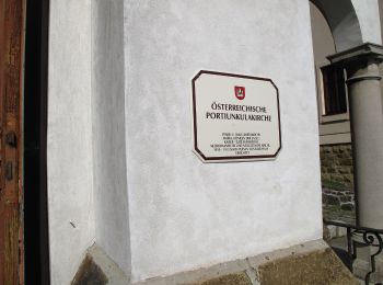
![Trail On foot Gemeinde Klosterneuburg - Maria Gugging - Hadersfeld (via Sonnberg) - Photo](https://media.geolcdn.com/t/350/260/84d8c90b-f47d-40ec-b897-8d805500d93b.jpeg&format=jpg&maxdim=2)
![On foot On foot](https://static1.geolcdn.com/sitytour/trail-icons/100.png)
Km
On foot
![](/images/other/stat-length.png)
![](https://static1.geolcdn.com/siteimages/upload/files/1508320355ic_sort_den_pos_24dp.png)
![](https://static1.geolcdn.com/siteimages/upload/files/1508320355ic_sort_den_neg_24dp.png)
![](https://static1.geolcdn.com/siteimages/upload/files/16400158638029165_repeat_loop_refresh_sync_direction_icon.png)
• Trail created by ÖTK Klosterneuburg.
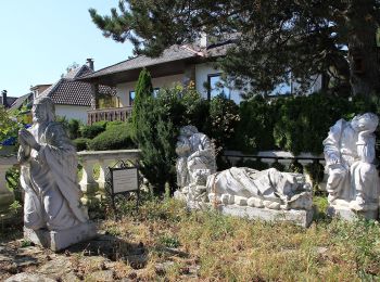
![Trail On foot Gemeinde Klosterneuburg - Bhf. Klosterneuburg Kierling-Hadersfeld - Photo](https://media.geolcdn.com/t/350/260/2d07c5fe-d96b-4089-a6dc-d48db6ef341d.jpeg&format=jpg&maxdim=2)
![On foot On foot](https://static1.geolcdn.com/sitytour/trail-icons/100.png)
Km
On foot
![](/images/other/stat-length.png)
![](https://static1.geolcdn.com/siteimages/upload/files/1508320355ic_sort_den_pos_24dp.png)
![](https://static1.geolcdn.com/siteimages/upload/files/1508320355ic_sort_den_neg_24dp.png)
![](https://static1.geolcdn.com/siteimages/upload/files/16400158638029165_repeat_loop_refresh_sync_direction_icon.png)
• Trail created by ÖTK Klosterneuburg.
![Trail On foot Gemeinde Klosterneuburg - Kritzendorf-Hadersfeld über Sonnleiten - Photo](https://media.geolcdn.com/t/350/260/c847b275-285b-44c9-b2fc-5a06b893e0e3.jpeg&format=jpg&maxdim=2)
![On foot On foot](https://static1.geolcdn.com/sitytour/trail-icons/100.png)
Km
On foot
![](/images/other/stat-length.png)
![](https://static1.geolcdn.com/siteimages/upload/files/1508320355ic_sort_den_pos_24dp.png)
![](https://static1.geolcdn.com/siteimages/upload/files/1508320355ic_sort_den_neg_24dp.png)
![](https://static1.geolcdn.com/siteimages/upload/files/16400158638029165_repeat_loop_refresh_sync_direction_icon.png)
• Trail created by ÖTK-Klosterneuburg.
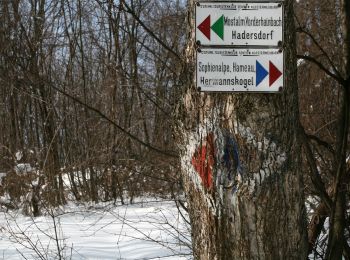
![Trail On foot Gemeinde Klosterneuburg - Stadtwanderweg 8 - Sofienalpe - Photo](https://media.geolcdn.com/t/350/260/19a83d73-63fd-41ff-a42b-481a612edec8.jpeg&format=jpg&maxdim=2)
![On foot On foot](https://static1.geolcdn.com/sitytour/trail-icons/100.png)
Km
On foot
![](/images/other/stat-length.png)
![](https://static1.geolcdn.com/siteimages/upload/files/1508320355ic_sort_den_pos_24dp.png)
![](https://static1.geolcdn.com/siteimages/upload/files/1508320355ic_sort_den_neg_24dp.png)
![](https://static1.geolcdn.com/siteimages/upload/files/16400158638029165_repeat_loop_refresh_sync_direction_icon.png)
• Trail created by Stadt Wien (Forstamt). im Uhrzeigersinn beschildert
![Trail On foot Gemeinde Klosterneuburg - Kritzendorf-Hadersfeld über Hoheneggersteig - Photo](https://media.geolcdn.com/t/350/260/2c6f21ef-f504-4443-9c23-94c2bd29c7cd.jpeg&format=jpg&maxdim=2)
![On foot On foot](https://static1.geolcdn.com/sitytour/trail-icons/100.png)
Km
On foot
![](/images/other/stat-length.png)
![](https://static1.geolcdn.com/siteimages/upload/files/1508320355ic_sort_den_pos_24dp.png)
![](https://static1.geolcdn.com/siteimages/upload/files/1508320355ic_sort_den_neg_24dp.png)
![](https://static1.geolcdn.com/siteimages/upload/files/16400158638029165_repeat_loop_refresh_sync_direction_icon.png)
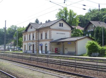
• Trail created by ÖTK Klosterneuburg.
![Trail On foot Gemeinde Klosterneuburg - Rotgraben - Steinriegl - Photo](https://media.geolcdn.com/t/350/260/ccd61e25-19d7-45a8-9d54-e01958bac28f.jpeg&format=jpg&maxdim=2)
![On foot On foot](https://static1.geolcdn.com/sitytour/trail-icons/100.png)
Km
On foot
![](/images/other/stat-length.png)
![](https://static1.geolcdn.com/siteimages/upload/files/1508320355ic_sort_den_pos_24dp.png)
![](https://static1.geolcdn.com/siteimages/upload/files/1508320355ic_sort_den_neg_24dp.png)
![](https://static1.geolcdn.com/siteimages/upload/files/16400158638029165_repeat_loop_refresh_sync_direction_icon.png)
• Trail created by ÖTK-Klosterneuburg. Symbol: weiss-gruen-weiss
![Trail On foot Gemeinde Klosterneuburg - Weidlingbach/Dombachgraben - Eichenhain - Photo](https://media.geolcdn.com/t/350/260/24660700-fc86-4c30-981e-2a44d3f7c131.jpeg&format=jpg&maxdim=2)
![On foot On foot](https://static1.geolcdn.com/sitytour/trail-icons/100.png)
Km
On foot
![](/images/other/stat-length.png)
![](https://static1.geolcdn.com/siteimages/upload/files/1508320355ic_sort_den_pos_24dp.png)
![](https://static1.geolcdn.com/siteimages/upload/files/1508320355ic_sort_den_neg_24dp.png)
![](https://static1.geolcdn.com/siteimages/upload/files/16400158638029165_repeat_loop_refresh_sync_direction_icon.png)
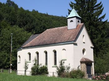
• Trail created by ÖTK-Klosterneuburg. Symbol: weiss-blau-weiss
![Trail On foot Gemeinde Klosterneuburg - Weidlingbach - Windischhütte - Photo](https://media.geolcdn.com/t/350/260/ext.jpg?maxdim=2&url=https%3A%2F%2Fstatic1.geolcdn.com%2Fsiteimages%2Fupload%2Ffiles%2F1545311037marcheuse_200dpi.jpg)
![On foot On foot](https://static1.geolcdn.com/sitytour/trail-icons/100.png)
Km
On foot
![](/images/other/stat-length.png)
![](https://static1.geolcdn.com/siteimages/upload/files/1508320355ic_sort_den_pos_24dp.png)
![](https://static1.geolcdn.com/siteimages/upload/files/1508320355ic_sort_den_neg_24dp.png)
![](https://static1.geolcdn.com/siteimages/upload/files/16400158638029165_repeat_loop_refresh_sync_direction_icon.png)
• Trail created by ÖTK-Klosterneuburg. Symbol: weiss-rot-weiss
![Trail On foot Gemeinde Klosterneuburg - Hinterweidling - Steinriegl - Photo](https://media.geolcdn.com/t/350/260/ext.jpg?maxdim=2&url=https%3A%2F%2Fstatic1.geolcdn.com%2Fsiteimages%2Fupload%2Ffiles%2F1545311037marcheuse_200dpi.jpg)
![On foot On foot](https://static1.geolcdn.com/sitytour/trail-icons/100.png)
Km
On foot
![](/images/other/stat-length.png)
![](https://static1.geolcdn.com/siteimages/upload/files/1508320355ic_sort_den_pos_24dp.png)
![](https://static1.geolcdn.com/siteimages/upload/files/1508320355ic_sort_den_neg_24dp.png)
![](https://static1.geolcdn.com/siteimages/upload/files/16400158638029165_repeat_loop_refresh_sync_direction_icon.png)
• Trail created by ÖTK-Klosterneuburg. Symbol: weiss-rot-weiss Website: https://www.oetk-klosterneuburg.at/index.php...
19 trails displayed on 19
FREE GPS app for hiking