
Bezirk Tamsweg, Salzburg: Best trails, routes and walks
Bezirk Tamsweg: Discover the best trails: 24 hiking trails and 1 bike and mountain-bike routes. All these trails, routes and outdoor activities are available in our SityTrail applications for smartphones and tablets.
The best trails (25)
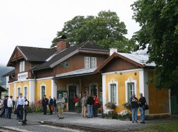
Km
On foot


• Trail created by TVB Mauterndorf. Symbol: rot-weiß-rot 39
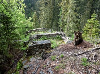
Km
On foot


• Trail created by TVB Thomatal. Symbol: rot-weiß-rot 69
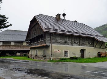
Km
On foot


• Trail created by TVB Unternberg. Symbol: rot-weiß-rot 87

Km
On foot


• Trail created by TVB Unternberg. Symbol: rot-weiß-rot 86
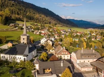
Km
On foot


• Trail created by TVB Unternberg. Symbol: rot-weiß-rot 85
Km
On foot


• Trail created by TVB Mauterndorf. Symbol: rot-weiß-rot 91
Km
On foot


• Trail created by TVB Mariapfarr. Symbol: rot-weiß-rot 37
Km
On foot


• Trail created by Österreichischer Alpenverein.
Km
On foot


• Trail created by TVB St. Margarethen im Lungau. Symbol: rot-weiß-rot 83

Km
On foot


• Trail created by TVB St. Margarethen im Lungau. Symbol: rot-weiß-rot 83
Km
On foot


• Trail created by TVB St. Michael im Lungau. Symbol: rot-weiß-rot 91

Km
On foot


• Trail created by TVB St. Michael im Lungau. Symbol: rot-weiß-rot 91

Km
On foot


• Trail created by TVB St. Michael im Lungau. Symbol: rot-weiß-rot 91
Km
On foot


• Trail created by TVB St. Michael im Lungau. Symbol: rot-weiß-rot 91
Km
On foot


• Trail created by TVB St. Michael im Lungau. Symbol: rot-weiß-rot 91
Km
On foot


• Trail created by TVB St. Michael im Lungau. Symbol: rot-weiß-rot 91
Km
On foot


• Trail created by TVB St. Michael im Lungau. Symbol: rot-weiß-rot 91
Km
On foot


• Trail created by TVB St. Michael im Lungau. Symbol: rot-weiß-rot 95
Km
On foot


• Trail created by TVB St. Michael im Lungau. Symbol: rot-weiß-rot 96

Km
On foot


• Trail created by TVB St. Michael im Lungau. Symbol: rot-weiß-rot 92
20 trails displayed on 25
FREE GPS app for hiking


 SityTrail


