


3.1 km | 4.9 km-effort
Bezirk Zell am See: Discover the best trails: 92 hiking trails and 2 bike and mountain-bike routes. All these trails, routes and outdoor activities are available in our SityTrail applications for smartphones and tablets.
On foot


• Trail created by Zell am See, Kaprun.
On foot
• Trail created by Zell am See.
On foot
• Symbol: violetter Pfeil
On foot
• Symbol: oranger Pfeil
On foot
• Symbol: roter Pfeil
On foot
• Symbol: dunkelblauer Pfeil
On foot
• Symbol: hellblauer Pfeil
On foot
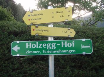
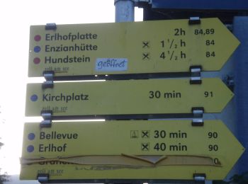
• Symbol: Gelbe Wegweisschilder mit Text und Zahl
On foot
• Symbol: Gelbe Wegweisschilder mit Text und Zahl
On foot
• Trail created by OEAV Sektion Lofer. Symbol: Gelbe Wegweisschilder mit Text und Zahl
On foot
• Symbol: roter Grund weißer Strich
On foot
• Symbol: rot-weiss-rot 29
On foot
• http://wiki.openstreetmap.org/index.php?title=WikiProject_Austria/Wanderwege Symbol: rot-weiss-rot 28c
On foot
• Symbol: rot-weiss-rot 11
On foot
• http://wiki.openstreetmap.org/index.php?title=WikiProject_Austria/Wanderwege Symbol: rot-weiss-rot 12
On foot
• Symbol: Gelbe Wegweisschilder mit Text und Zahl
On foot
• Trail created by OEAV Sektion Warnsdorf/Krimml. http://wiki.openstreetmap.org/index.php?title=WikiProject_Austria/Wa...
On foot
• Symbol: Weiße Blechschilder mit grünem oberen Rand mit der Aufschrift "Nature.Fitness Park Nordic Walking". In der Mi...
On foot
• Symbol: Weiße Blechschilder mit grünem oberen Rand mit der Aufschrift "Nature.Fitness Park Nordic Walking". In der Mi...
On foot
• Trail created by Gerlos. Symbol: Gelbe Blechschilder mit rotem Richtungspfeil und orangem, unteren Rand
20 trails displayed on 96
FREE GPS app for hiking
 SityTrail
IGN / Geographical institutes
SityTrail World
The world is yours!