Chiang Mai Province, Thailand, On foot: Best trails, routes and walks

Chiang Mai Province: Discover the best trails: 2 on foot and 3 walking. All these trails, routes and outdoor activities are available in our SityTrail applications for smartphones and tablets.


The best trails (5)
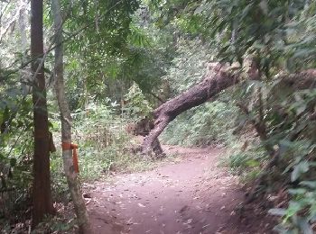
Trail Walking  - Doi Oui Peak - Photo
Walking 17.493
Km

Walking

Difficult
, Chiang Mai Province, Saraphi District, Thailand
17.5 km | 34 km-effort
4h 33min
1541 m
211 m
No
api1

• atteindre le sommet depuis la ville

Trail On foot  - Thaïlande: Monk's trail - Photo
On foot 3.547
Km

On foot

Easy
, Chiang Mai Province, Saraphi District, Thailand
3.5 km | 9.6 km-effort
2h 10min
604 m
0 m
No
MathieuBourgois

Trail Walking  - Doi Inthanon, boucle 2 - Photo
Walking 3.22
Km

Walking

Easy
, Chiang Mai Province, , Thailand
3.2 km | 5.5 km-effort
1h 15min
178 m
161 m
Yes
MathieuBourgois

Trail On foot  - Doi Inthanon Boucle 1 - Photo
On foot 1.196
Km

On foot

Easy
, Chiang Mai Province, , Thailand
1.2 km | 1.7 km-effort
23min
36 m
40 m
Yes
MathieuBourgois

Trail Walking  - Mok fa waterfall - Photo
Walking 0.623
Km

Walking

Easy
, Chiang Mai Province, , Thailand
623 m | 1.1 km-effort
22min
44 m
0 m
No
perlimpinpin59

5 trails displayed on 5

FREE GPS app for hiking

Logo SityTrail SityTrail

IGN / Geographical institutes

Download SityTrail from the App Store Download SityTrail from Google Play

Logo SityTrail SityTrail World

The world is yours!

Download SityTrail from the App Store Download SityTrail from Google Play Download SityTrail on Huawei AppGallery

Activities

Nearby regions

Close
My subscriptions