


107 km | 149 km-effort
Region of Trnava: Discover the best trails: 7 on foot and 1 walking. All these trails, routes and outdoor activities are available in our SityTrail applications for smartphones and tablets.
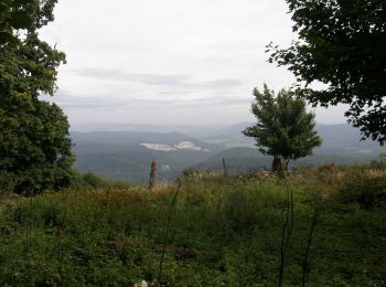
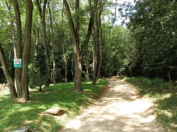
On foot


• Website: http://www.lazovka.wbl.sk/
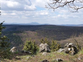
On foot
• Trail created by EPH. Symbol: education
On foot
• Symbol: education
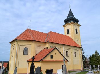
On foot
• Trail created by KST. Symbol: education

On foot
• Symbol: education Website: http://naucnechodniky.eu/naucny-chodnik-gazarka-lasek/
On foot
• Symbol: education
On foot
• Symbol: education Website: http://naucnechodniky.eu/laksarska-nova-ves-tomky/

Walking
8 trails displayed on 8
FREE GPS app for hiking
 SityTrail
IGN / Geographical institutes
SityTrail World
The world is yours!